Koya Castle (Chikuma)

History
Thought to have been constructed by the Tōhara Clan in the Muromachi Period, Koyajō was a branch castle of Tōnoharajō. It was situated at much lower elevation at a strategic point at the mouth of the Aida River.
Visit Notes
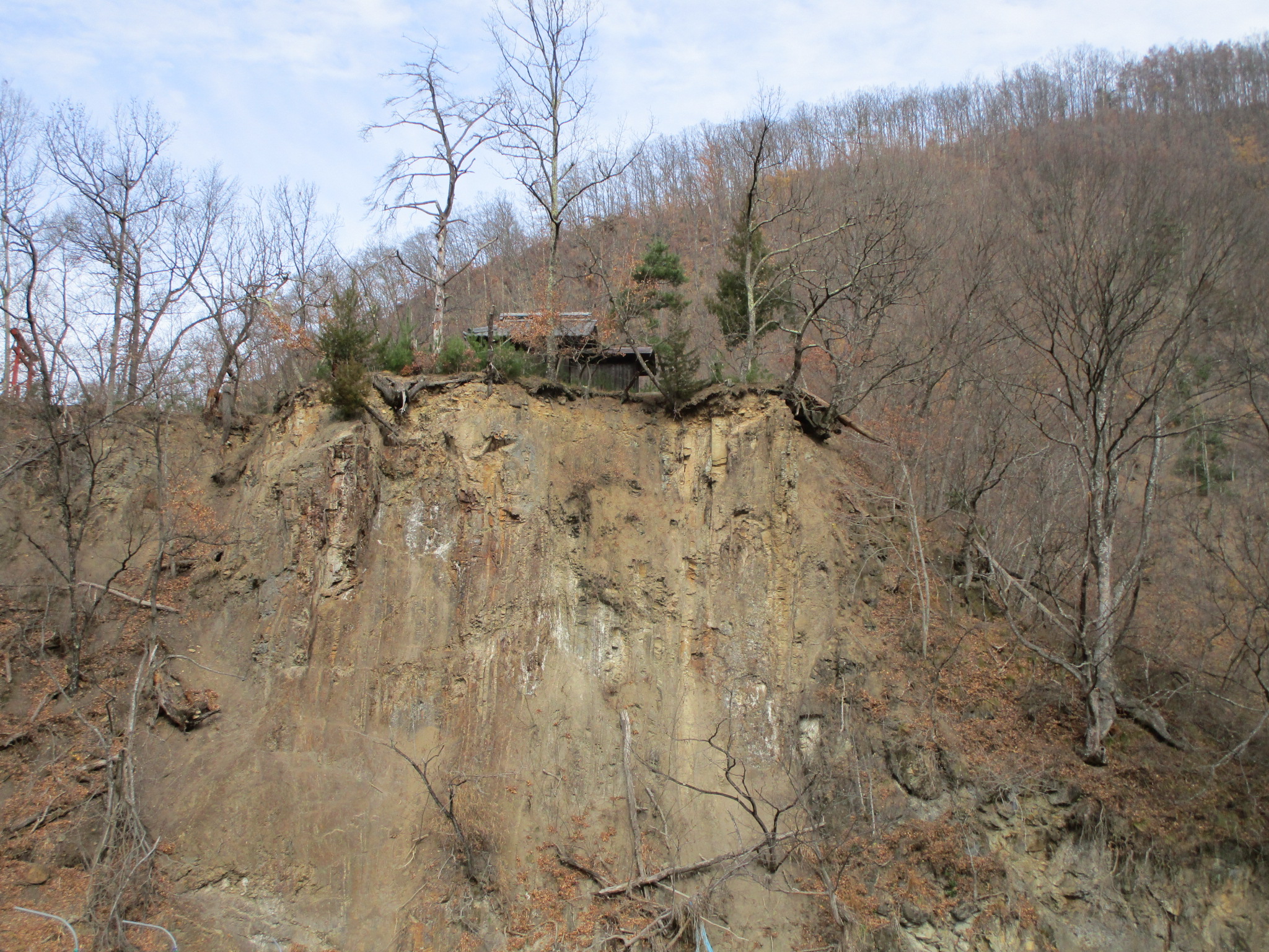
The ruins of Koya Castle are located in a park named for the castle mount, but unfortunately the park seems to be no longer maintained, and is covered in tall grass which has swallowed up benches and gazeboes. The main bailey is full of young trees. The ridge used to access the park is still clear, and climbing trenches can be discerned along it which created choke-points used in the castle's defence. Koyajō is twinned with Chausuyamajō as they're on hills on opposite sides of the small Aida River. The lack of Kanji for こや城 is interesting. Probably no one could agree on whether it was supposed to be 古屋城 or 小屋城.


| Castle Profile | |
|---|---|
| English Name | Chikuma Koya Castle |
| Japanese Name | 筑摩こや城 |
| Founder | Tōhara Clan |
| Year Founded | Muromachi Period |
| Castle Type | Mountaintop |
| Castle Condition | Ruins only |
| Historical Period | Pre Edo Period |
| Artifacts | Dobashi, Tatebori, Kuruwa |
| Features | trenches, stone walls |
| Visitor Information | |
| Access | Akashina Station on the Shinonoi Line; 5 minute walk |
| Visitor Information | Free; 24/7; Park |
| Time Required | 30 minutes |
| Location | Azumino, Nagano Prefecture |
| Coordinates | 36° 21' 29.05" N, 137° 56' 4.99" E |
|
|
|
| Admin | |
| Added to Jcastle | 2020 |
| Contributor | ART |
| Admin Year Visited | Viewer Contributed |


Enable comment auto-refresher