Sasaga Castle (Chikuma)
.JPG)
History
Sasaǵajō was used as part of a network of fortifications protecting the territory of Aida and guarding the mountain trail that led between valleys (in former times mountain ridges were a frequently used means of going to-and-fro'). According to the Shinputōki, the castle was under the command of Yamasasa Taji (it was also called Yamasasajō, Nishinomiyayamasasajō, or Nishinomiyasasaǵajō), who was a high-ranking retainer of the Iwashita Clan. The village of Nishinomiya was located beneath the castle which may have been used as a redoubt by the villagers if they came under attack.
Visit Notes
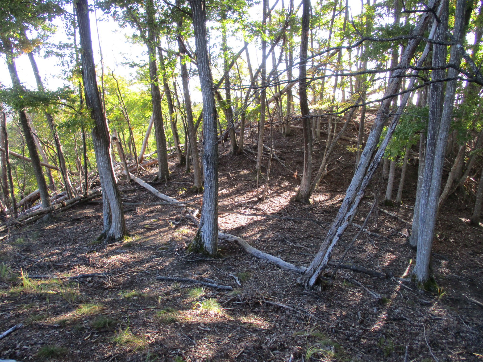
The ruins of Sasaǵajō consist of a series of baileys grouped together in a shape like an old galleon, the stern and bow elevated above a shallower central area. In this case the stern would be the main bailey, as that's where the marker for the castle is, and the second bailey is the depression in the middle of it and the third. The second bailey is the flattest and widest. At the rear of the fort are the remains of a trench. There is a forward bailey complex, the fourth bailey which has terracing below, though this is a very small space (a hokora (mini-shrine) is here).
Sasaǵajō can be readily accessed by car, since there is a retaining wall by the motorway with a staircase running up the side of it and this can be used to access the ridge. However, on foot I can't say! I began by coming down a series of old mountain roads which used to service a village built on the mountainside. Many of the houses here are now abandoned and the roads disused, but they were quite convenient for me. I couldn't see how I would get to the trail to Sasaǵajō so I climbed over a wier (凹 < of this shape) and assaulted the castle head-on, which is always silly really. After some tough climbing I made it to the castle ruins.


.JPG)
.JPG)
.JPG)
| Castle Profile | |
|---|---|
| English Name | Chikuma Sasaga Castle |
| Japanese Name | 筑摩笹城 |
| Alternate Names | 山笹城・西宮山笹城・西ノ宮笹ヶ城 Yamasasajō / Nishinomiyayamasasajō / Nishinomiyasasaǵajō |
| Founder | Aida Clan; Yamasasa Taji |
| Year Founded | Sengoku Period |
| Castle Type | Mountaintop |
| Castle Condition | Ruins only |
| Historical Period | Pre Edo Period |
| Artifacts | Kuruwa |
| Features | trenches |
| Visitor Information | |
| Access | Nearest station is Akashina Station on the Shinonoi Line; hike down from Ametoya Castle site via forestry road; take maintenance stairway from hard shoulder of Highway E19 |
| Visitor Information | 24/7 free; mountain |
| Time Required | 30 minutes |
| Location | Matsumoto, Nagano Prefecture |
| Coordinates | 36° 21' 30.46" N, 137° 58' 54.37" E |
|
|
|
| Admin | |
| Added to Jcastle | 2021 |
| Contributor | ART |
| Admin Year Visited | Viewer Contributed |


Enable comment auto-refresher