Takayama Castle (Chikuma)
.JPG)
History
Takayamajō was built as a fortified signal tower by Inukai Hanzaemon under the command of the Ogasawara Clan, nominal rulers of Shinano Province. From here messages by fire and smoke were relayed to Chikuma Takasu Castle on the plain below. This was critical during the Battle of Shiojiri Pass in 1548.
Visit Notes
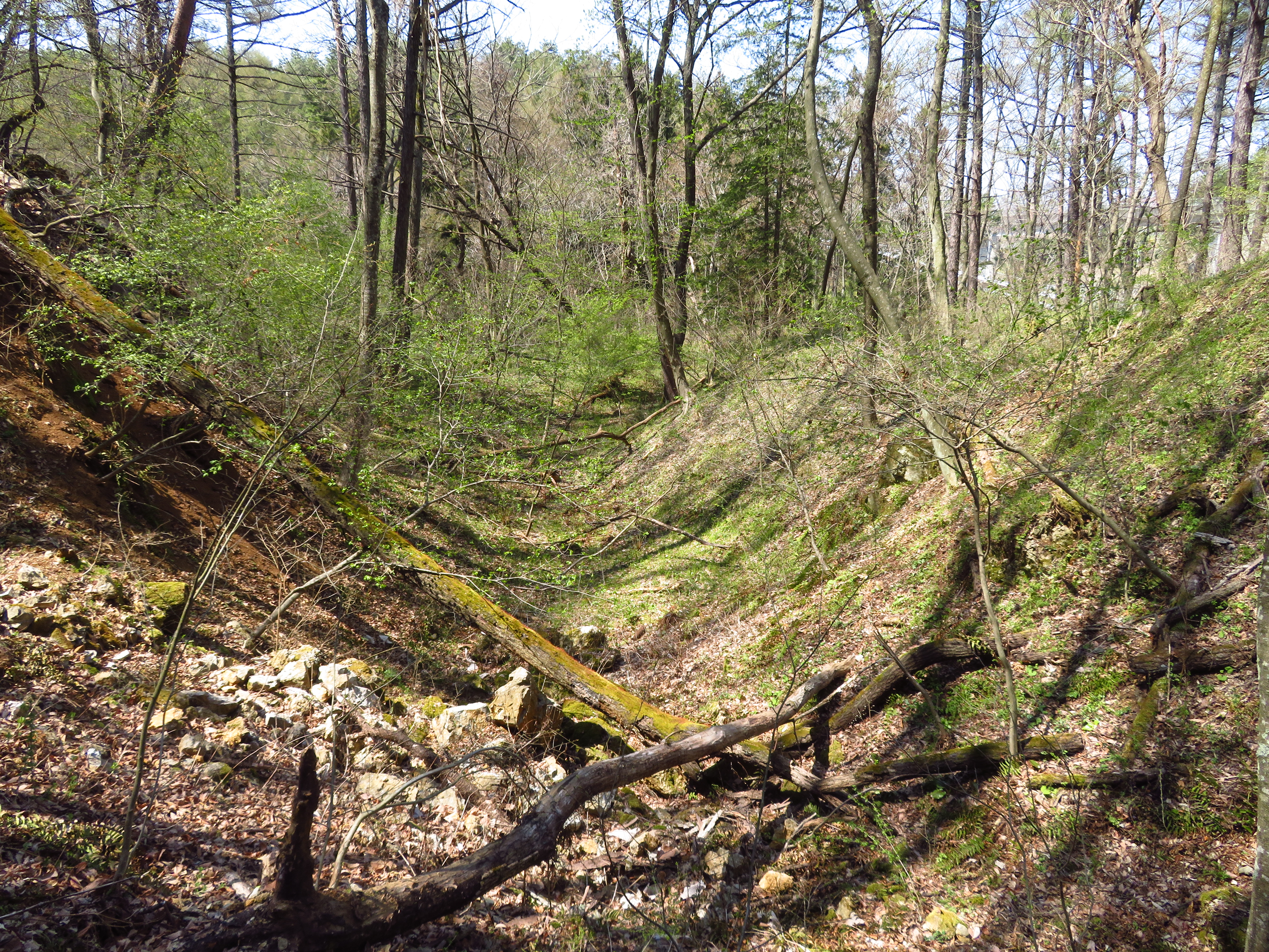
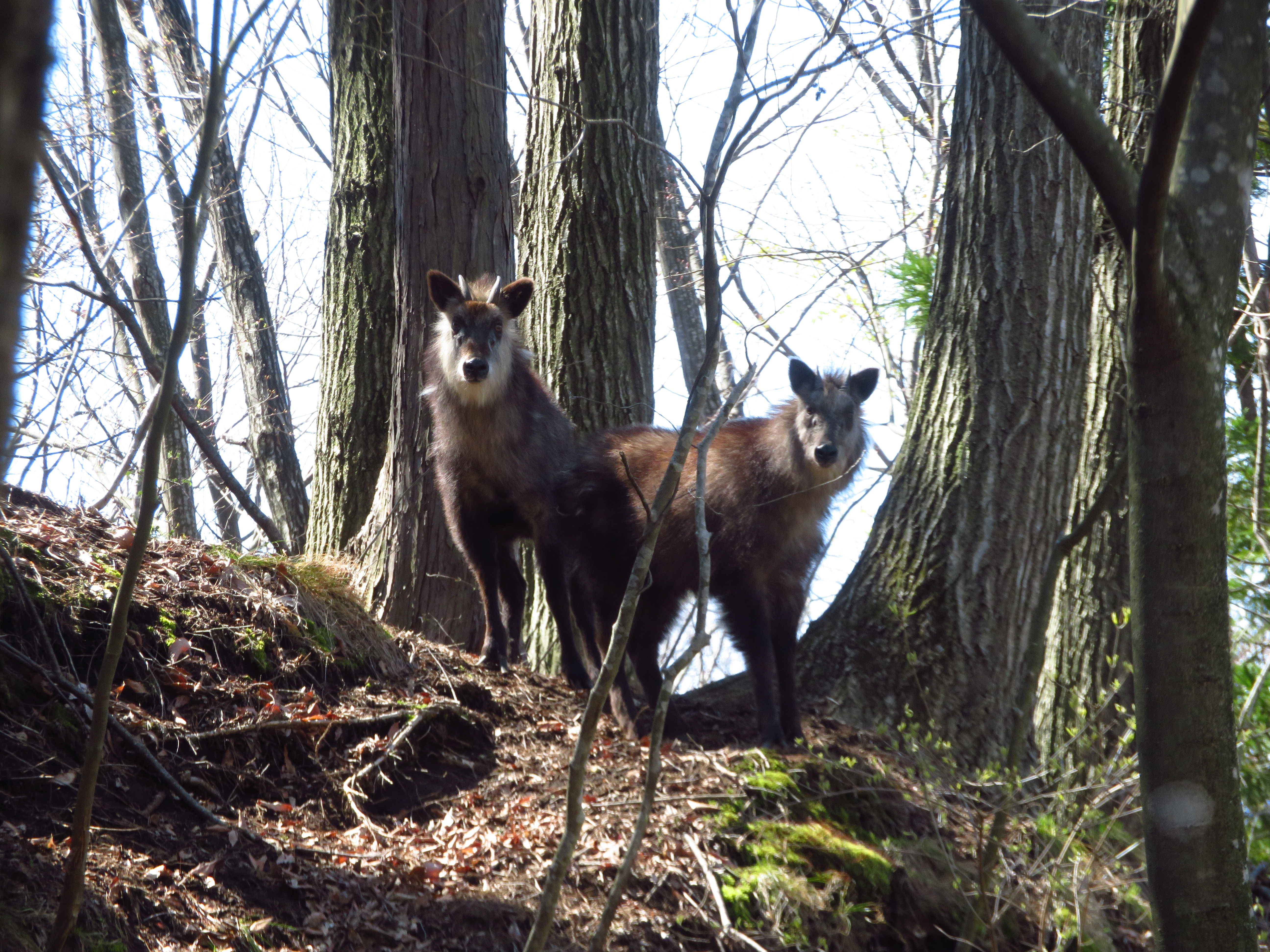
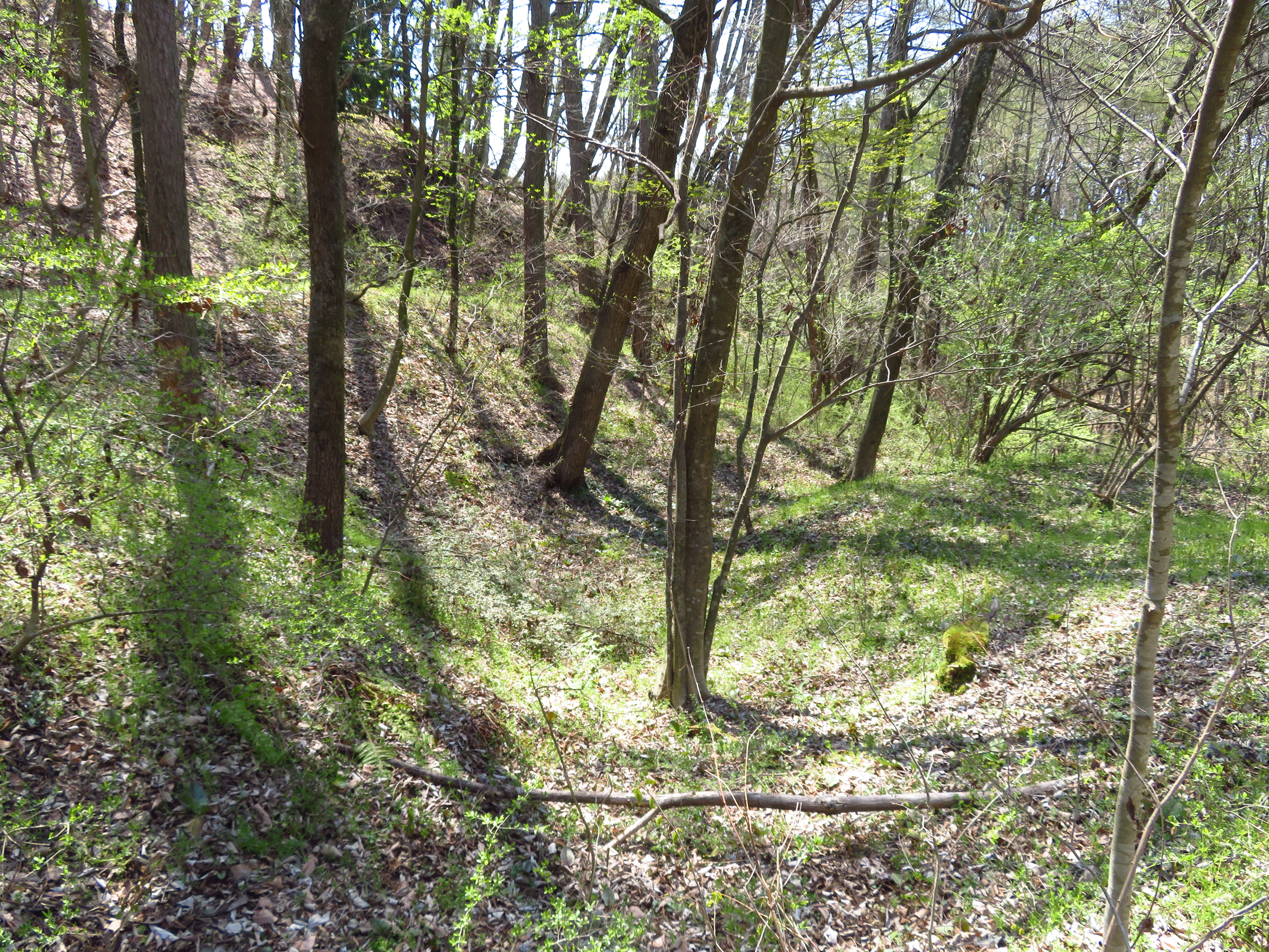
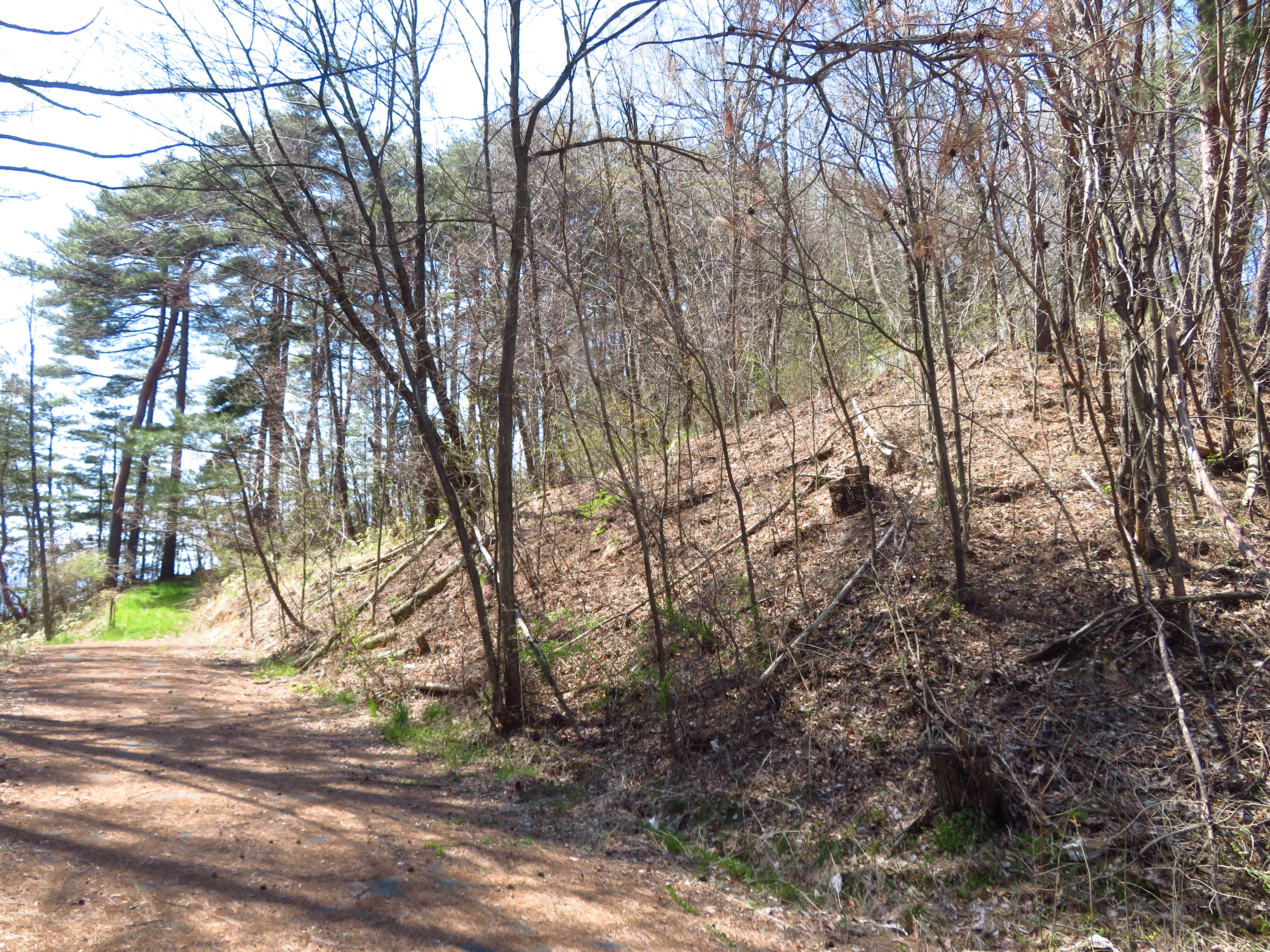
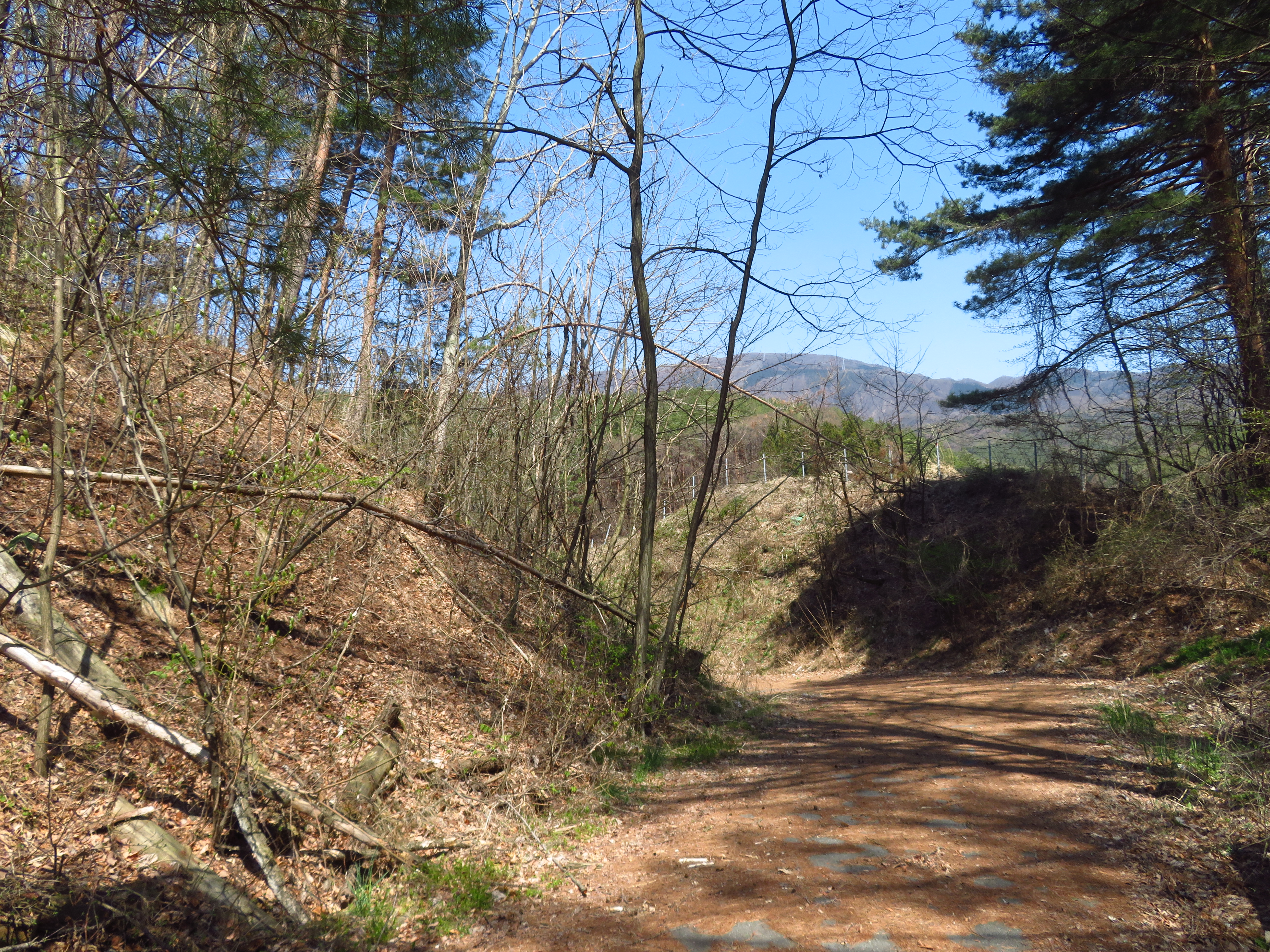
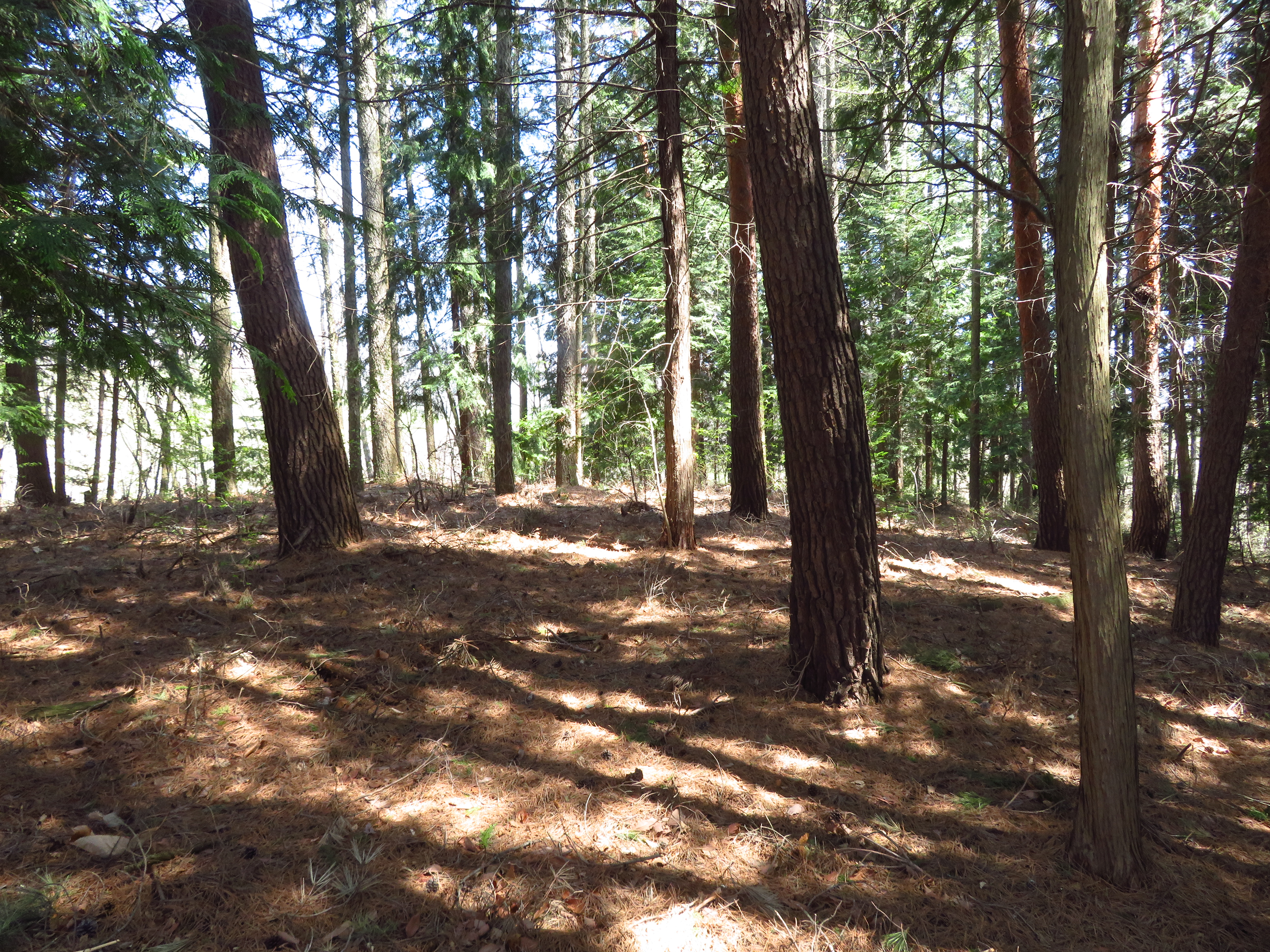
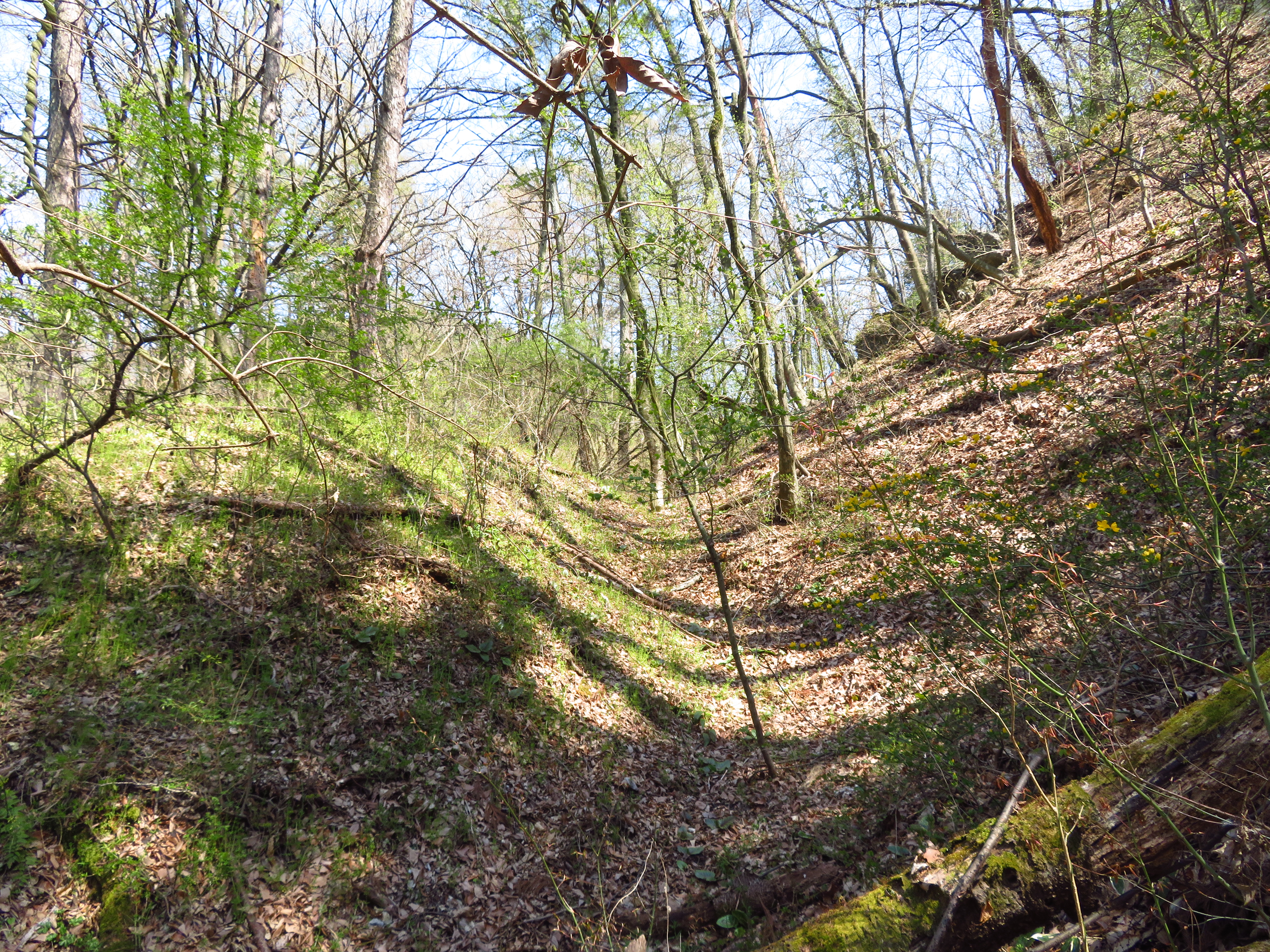
Castle of the Goatelope. At the ruins of Takayama Castle I saw Kamoshika (Japanese Serow, or "Goatelope"). Although often seen alone, these two were a couple, and I've also seen a small family of them - that was at Hayashiôjō. I'd just made it to a terraced area of the lower slopes of the castle mount when I came across them. Running to high ground they watched me for about ten minutes as I slowly made my way up the mountainside. I was able to get within 10m of them. And, in fact, they were standing on the narrow path I needed to take to get to the castle's main bailey. I equipped a stick in the event that they would try to stop me from assaulting the main bailey, perhaps by butting me off the edge of the cliff, but when I was about level with them and only a narrow game trail across a precipice separated us, one - I think the male - made a sharp bleating noise, which presumably meant "scarper!" and they both leapt off into the forest. Takayamajō's ruins consist of trenches, earth-piled embankments, terracing and a flattened area at the top of a small mountain which was the main bailey.


.JPG)
.JPG)
.JPG)
.JPG)
.JPG)
.JPG)
.JPG)
.JPG)
.JPG)
.JPG)
.JPG)
.JPG)
.JPG)
.JPG)
.JPG)
.JPG)
| Castle Profile | |
|---|---|
| English Name | Chikuma Takayama Castle |
| Japanese Name | 筑摩高山城 |
| Founder | Inukai Hanzaemon |
| Year Founded | Sengoku Period |
| Castle Type | Mountaintop |
| Castle Condition | Ruins only |
| Historical Period | Pre Edo Period |
| Artifacts | Kuruwa, Koshikuruwa, Karabori |
| Features | trenches |
| Visitor Information | |
| Access | Shiojiri Station on the Chuo Main Line; 50 minute walk |
| Visitor Information | 24/7 free; mountain |
| Time Required | 45 minutes |
| Location | Shiojiri, Nagano Prefecture |
| Coordinates | 36° 6' 52.56" N, 137° 58' 59.84" E |
|
|
|
| Admin | |
| Added to Jcastle | 2020 |
| Contributor | ART |
| Admin Year Visited | Viewer Contributed |


Enable comment auto-refresher