Takeda Castle (Chikuma)

History
Takedajō was a fortification used by Takeda Village in the Sengoku Period. Located at an altitude of 835m and a relative height of 105m, Takedajō was also called Akihabarajō, pertaining to the clan that built it perhaps (the Kanji for Takeda Village is "bamboo-field", unrelated to Takeda Shingen who conquered the area around 1550 in his war with the Ogasawara Clan, traditional rulers of the territory).
Visit Notes
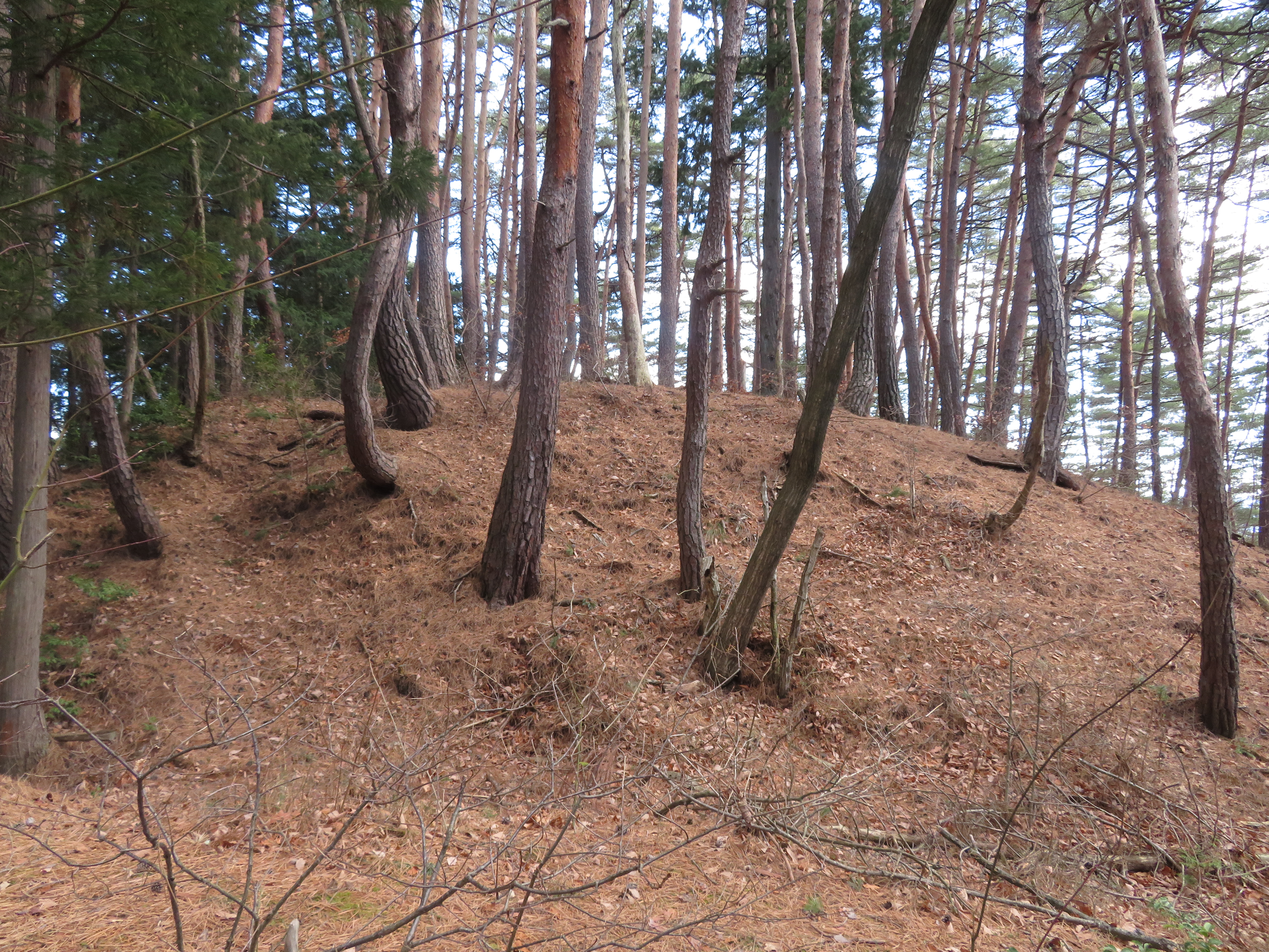
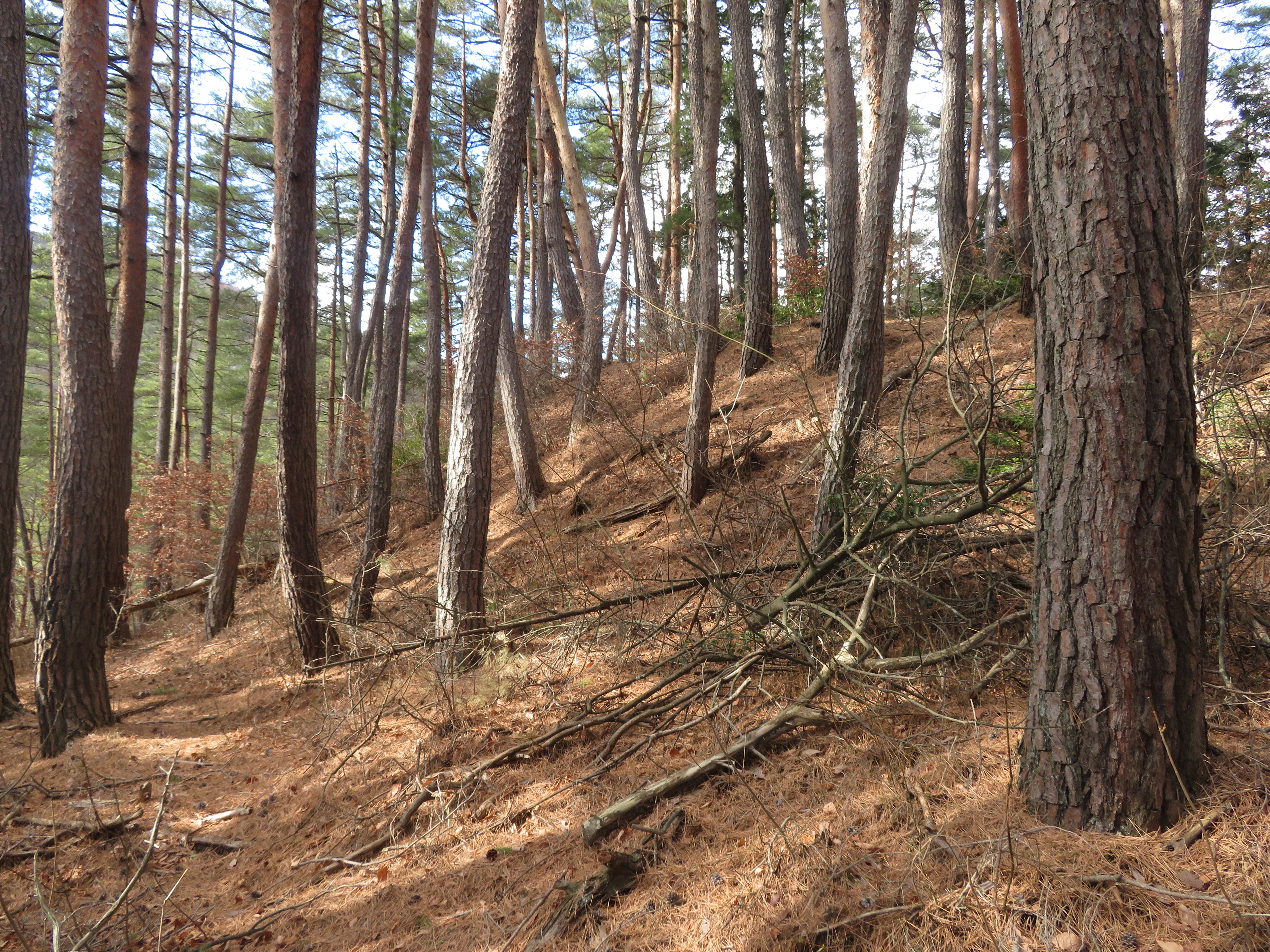
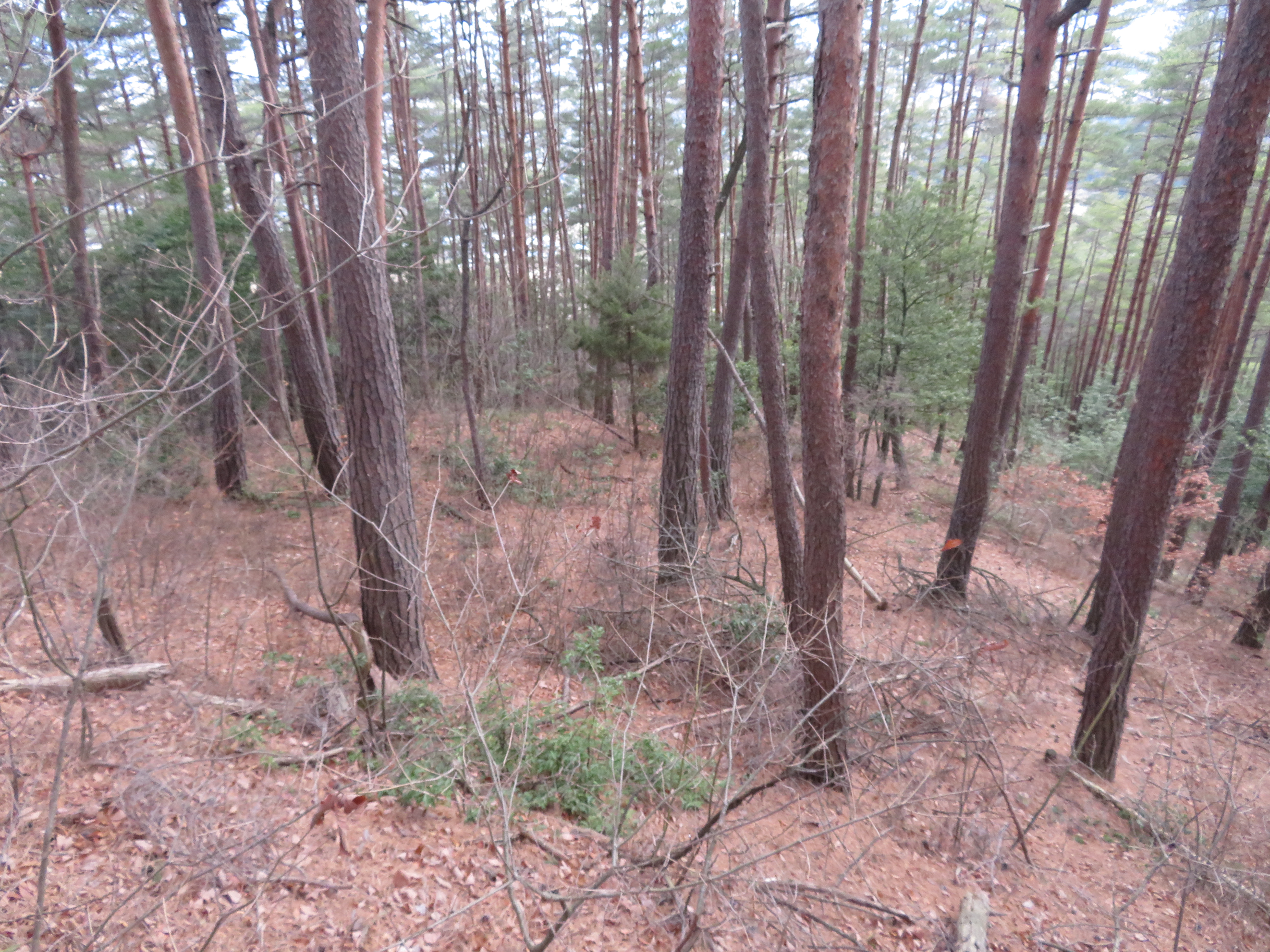
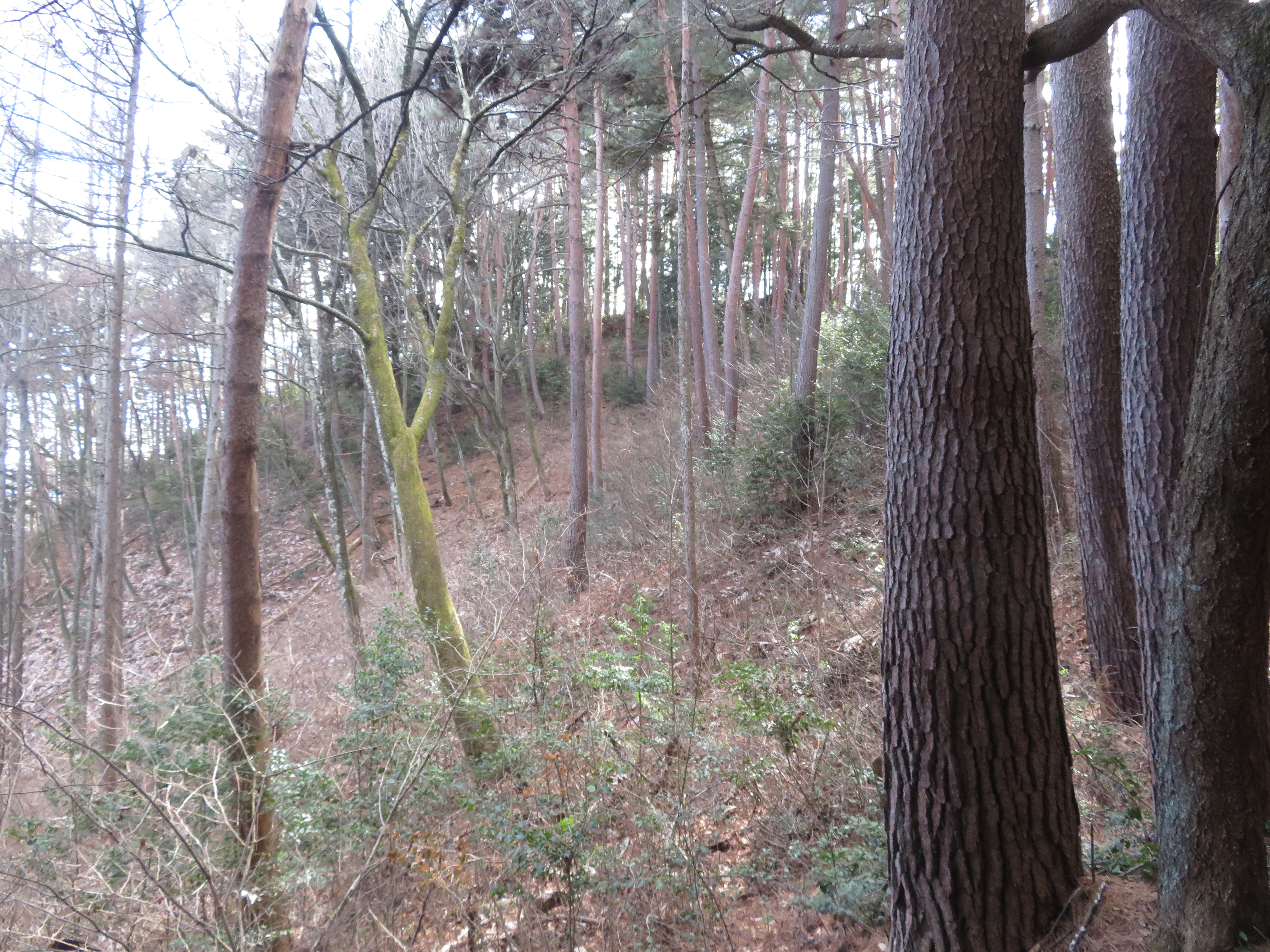
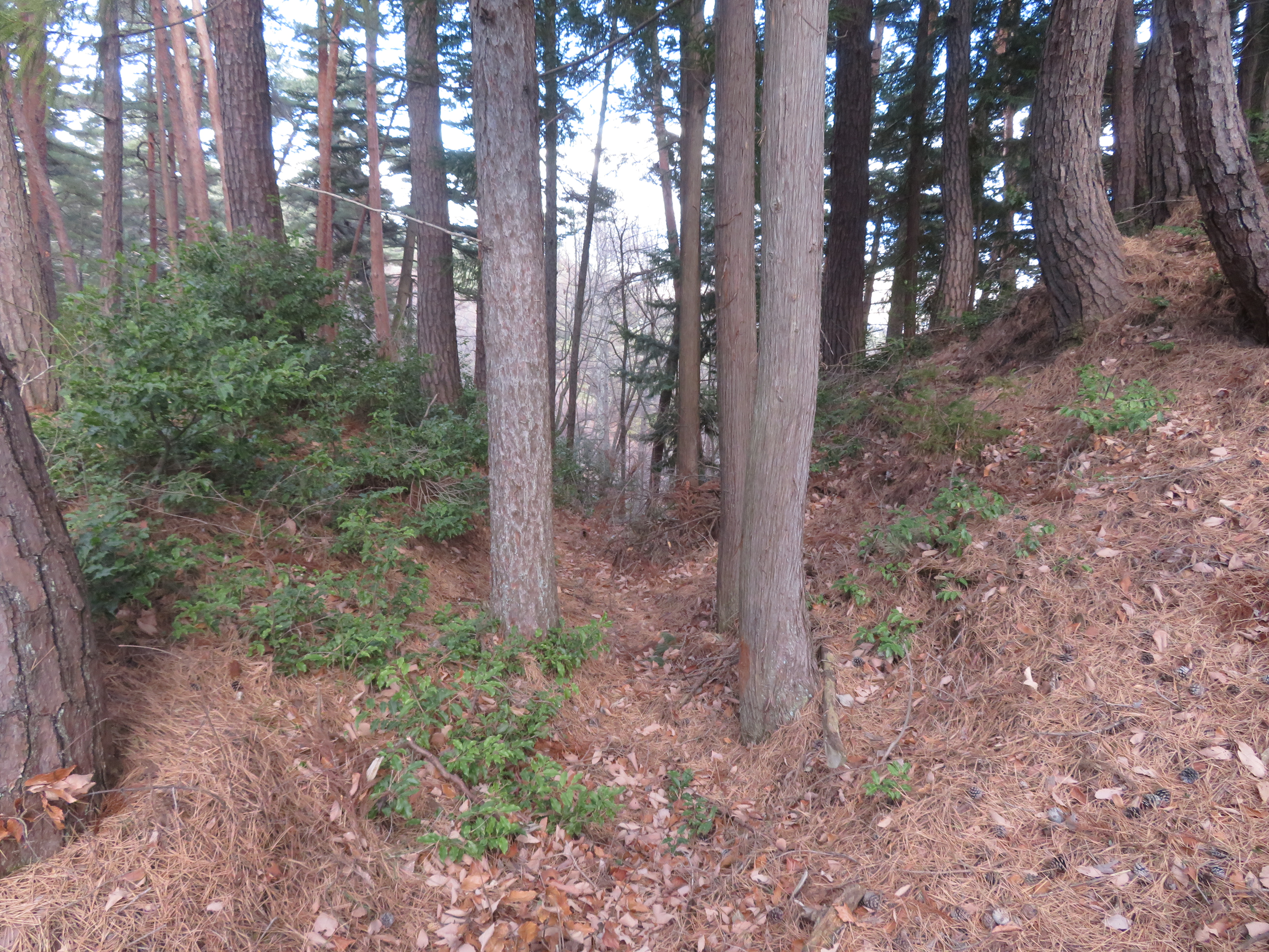
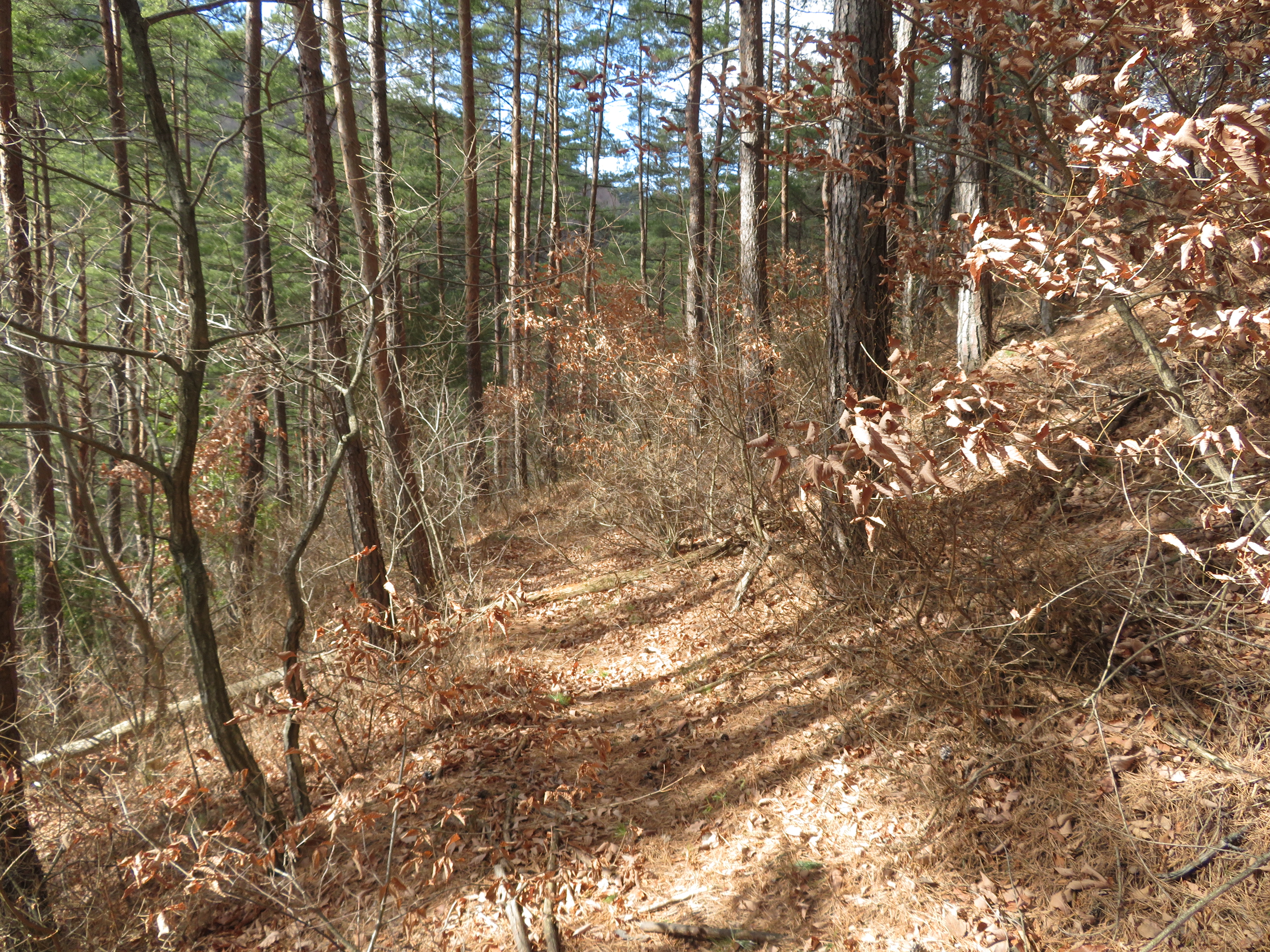
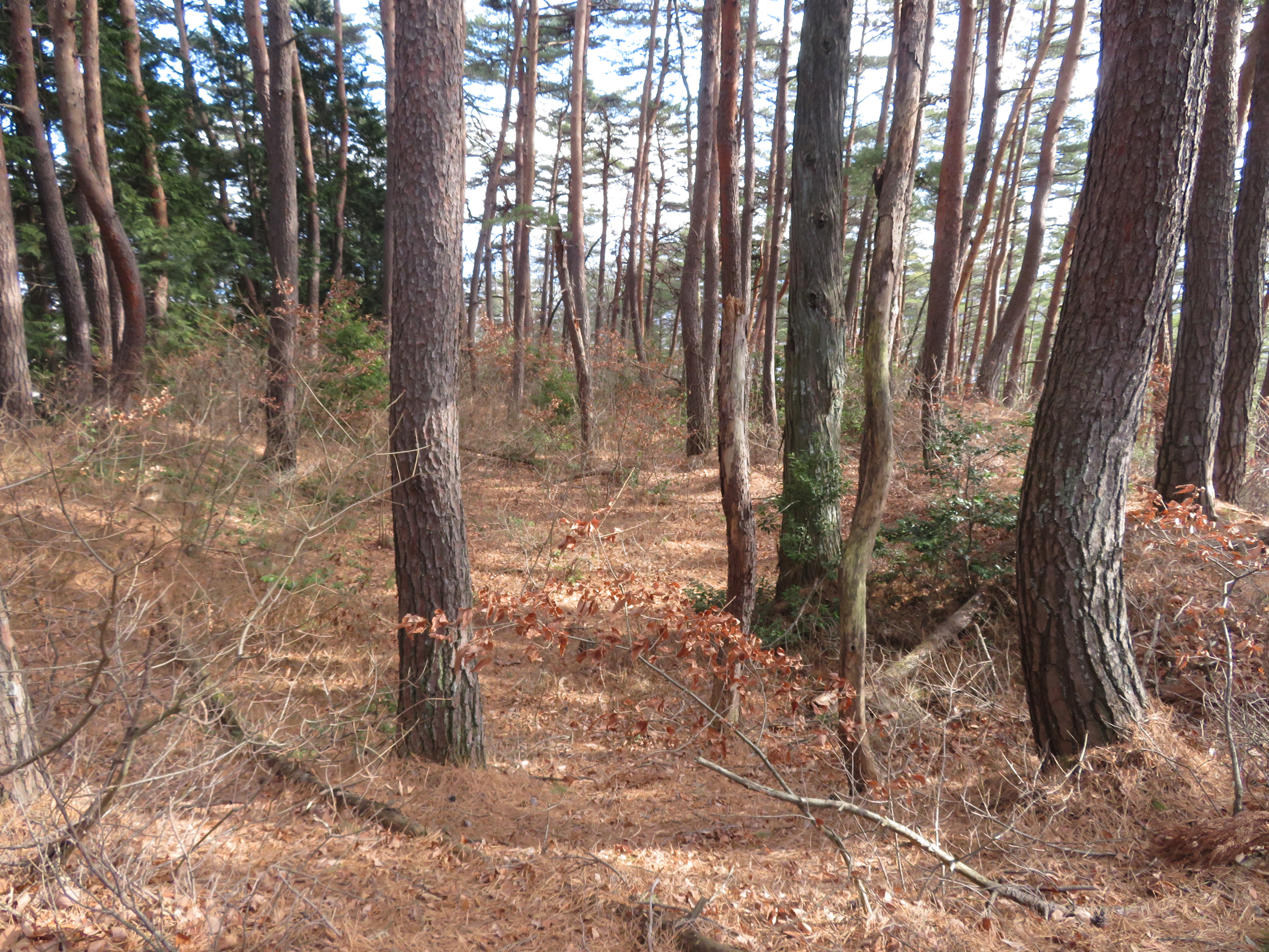
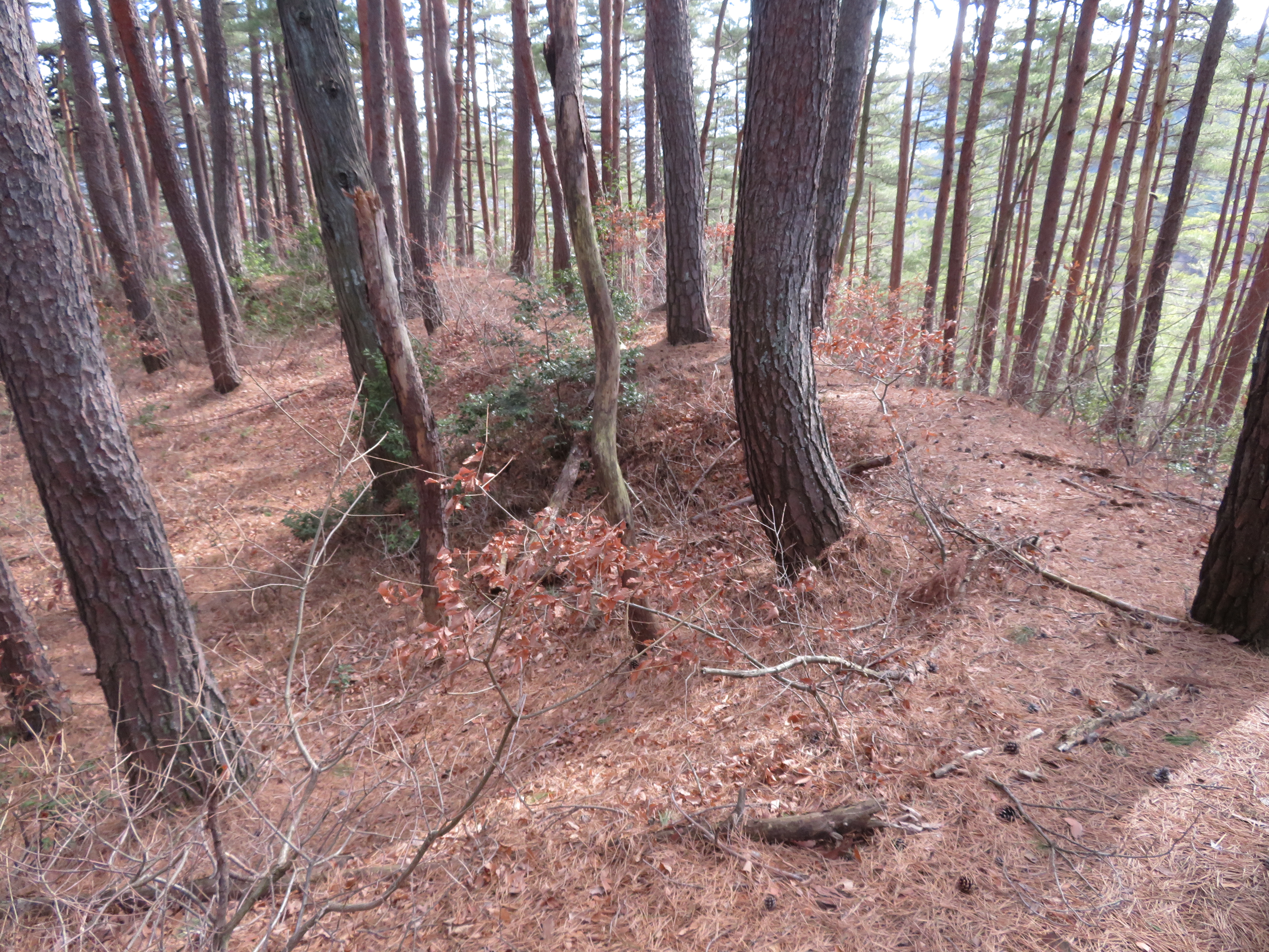
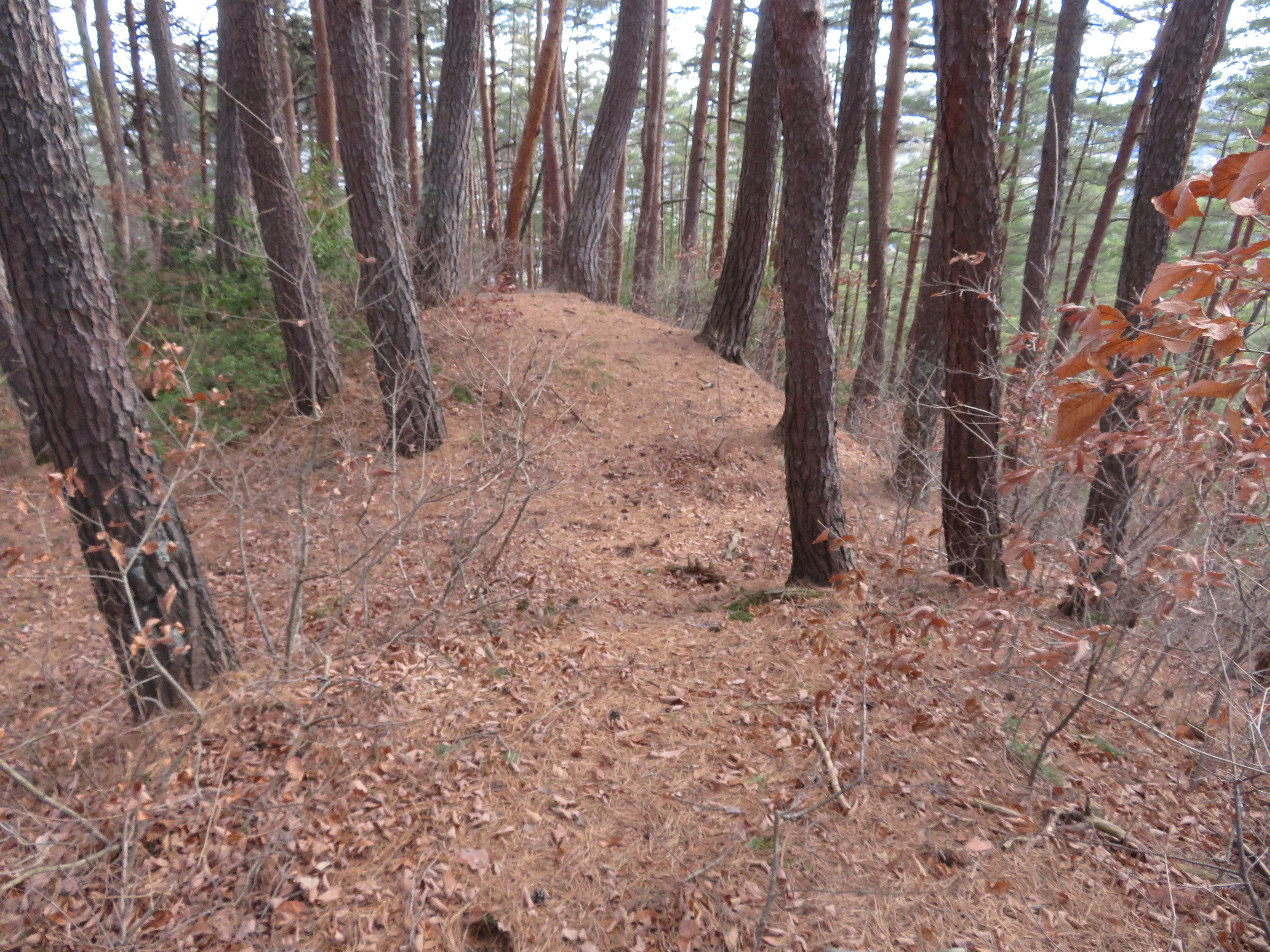
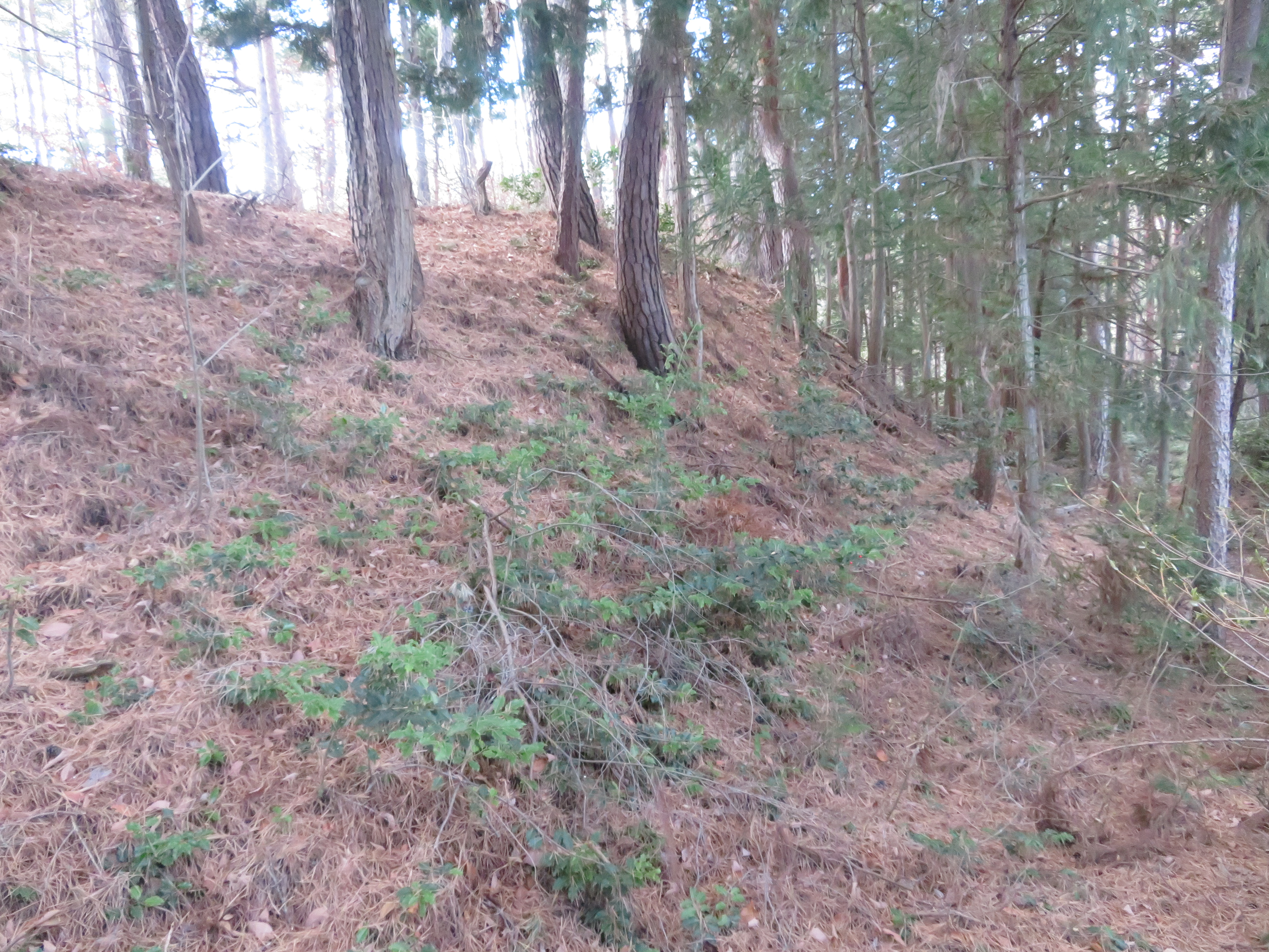
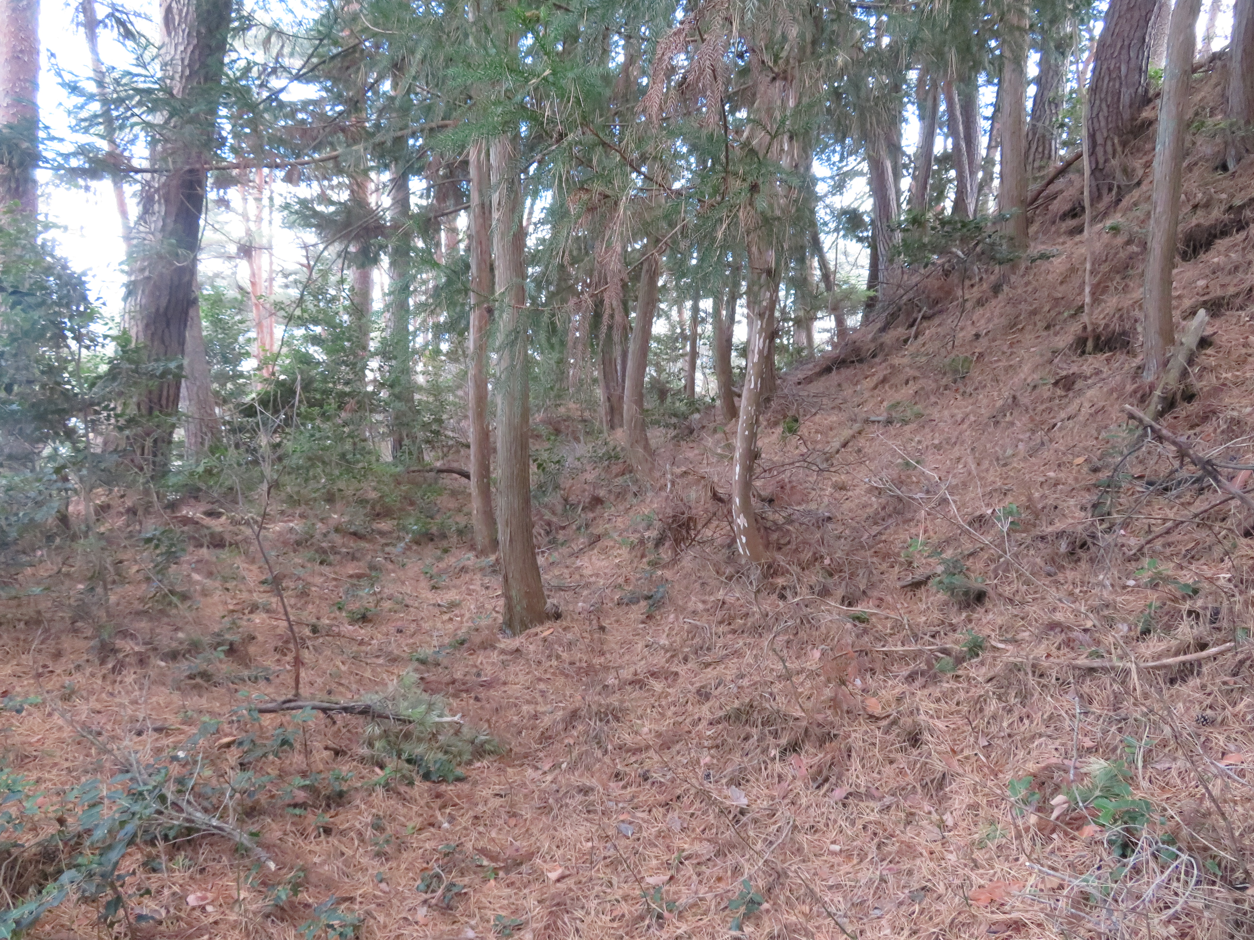
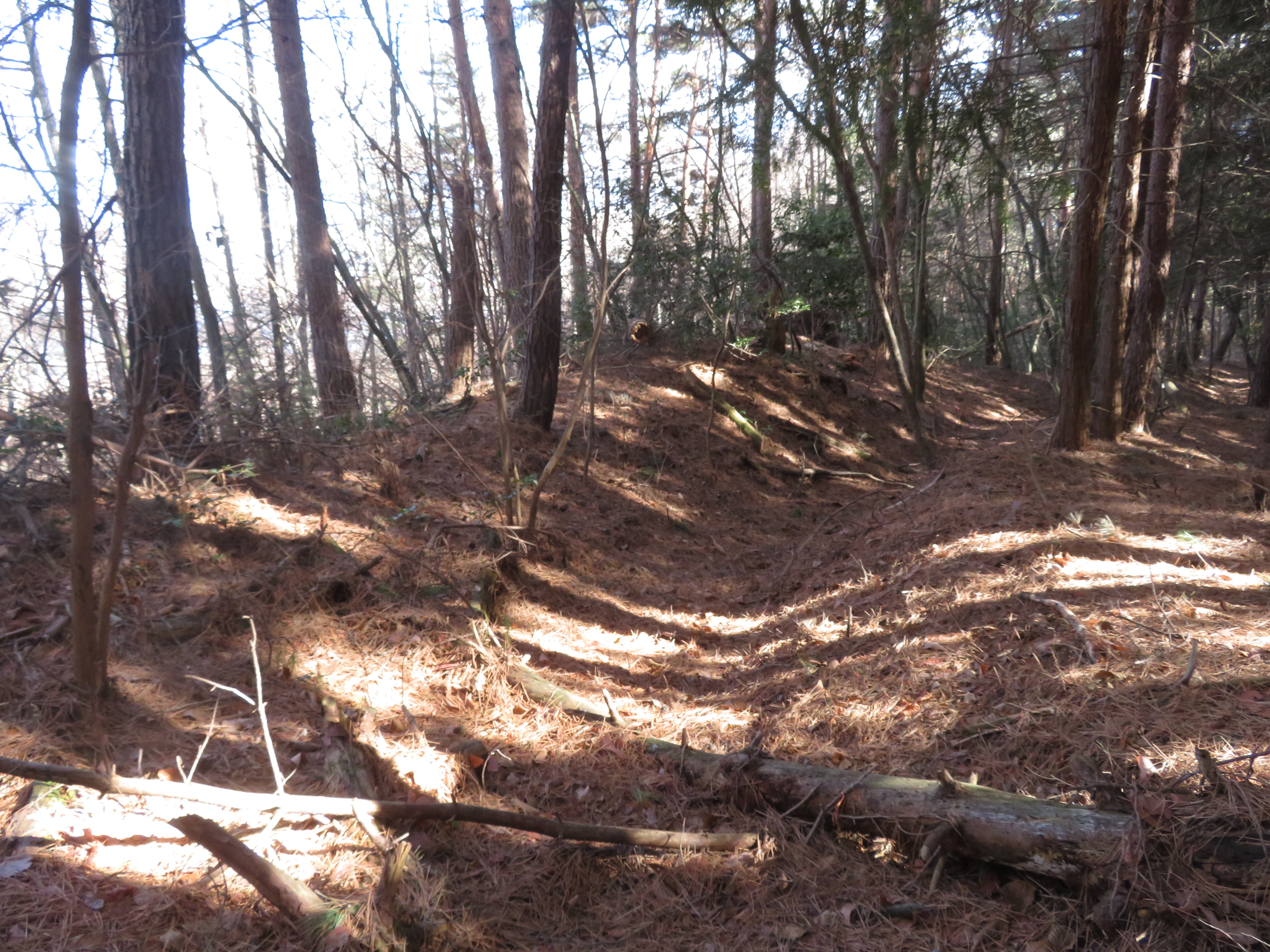
Takedajō is a small, difficult site, and therefore only of appeal to the most dedicated of enthusiasts. Firstly, although the site has been uploaded to Google Maps, the location given is slightly awry. First I went to where the marker indicated and found some climbing and lateral trench remains, but realised I was not at the center of the castle. The path had forked not long before and so I decided to continue on, only to find the path slowly disintegrate and take me to the wrong peak. I retraced my steps and took the alternate path in the fork and before long saw the distinctive shape of a sculpted mountain ridge through the trees. I knew I had found the castle remains and continued on past some terracing and trenches, although only one trench was large enough not to be completely obscurred by undergrowth, and this was the main trench separating the shukuruwa (main bailey) from the ridge. The shukuruwa is surrounded by dorui (earthen ramparts), but the bailey has not been cleared of vegetation and so it's quite hard to appreciate them in one sweep except by walking along their tops. The shukuruwa is also surrounded by koshikuruwa (sub-baileys) terracing the mountainside below. An obikuruwa (ring bailey) works its way around most of the shukuruwa.


| Castle Profile | |
|---|---|
| English Name | Chikuma Takeda Castle |
| Japanese Name | 筑摩竹田城 |
| Alternate Names | 秋葉原城 |
| Founder | |
| Year Founded | |
| Castle Type | Mountaintop |
| Castle Condition | Ruins only |
| Historical Period | Pre Edo Period |
| Features | trenches |
| Visitor Information | |
| Access | Nearest Station is Hata Station on the Kamikouchi Line. I cycled. |
| Visitor Information | 24/7 free; mountain |
| Time Required | 40 minutes |
| Location | Yamagata, Nagano Prefecture |
| Coordinates | 36° 10' 14.48" N, 137° 51' 37.58" E |
|
|
|
| Admin | |
| Added to Jcastle | 2020 |
| Contributor | ART |
| Admin Year Visited | Viewer Contributed |


Enable comment auto-refresher