History
Nagaune-toride was a small, simple fortification built and operated by the Obata Clan. Nagaune-toride was built in a square formation with dry moats and earthen ramparts about 50m long on each side. The koguchi (entrance) was located to the south (the terrain slopes down in the north), and a turret was built on the sides, making for a snug little fortification. Nagaune-toride was also called Shimonjō ("Lower Castle") when used in conjunction with Kaminojō ("Upper Castle") on the terrain above. The latter is otherwise known as the Yahatayama Fort. There is some distance interceding.
Visit Notes
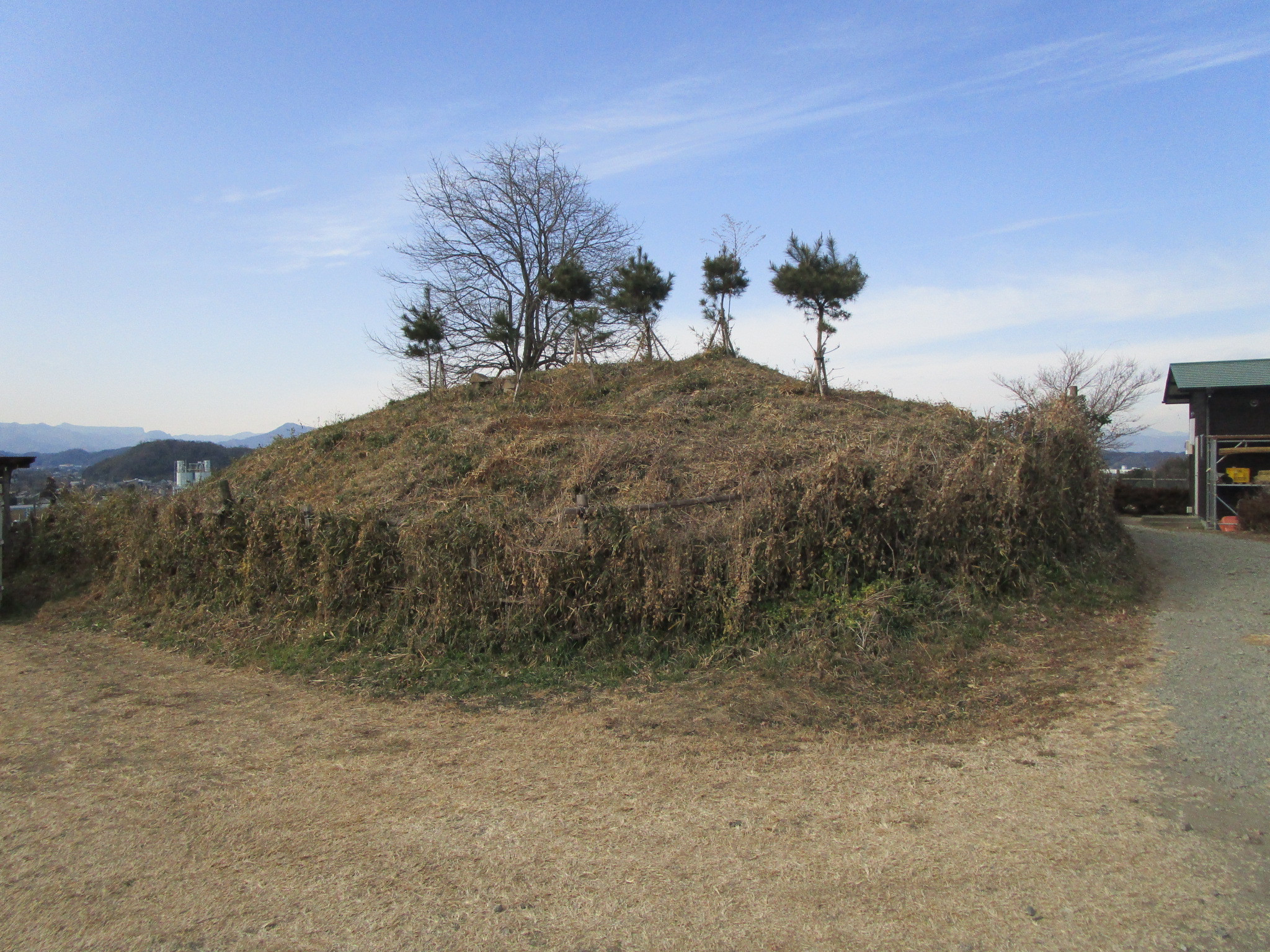
Nagaune-toride is a fort ruin. I found a tall mound of earth but it looked lonely. What happened here? From old satellite images it looks like an interesting site, a smaller scale version of Asabajō with fortifications erected in a square formation on a promontory into the plain. However, relatively recently the site has been turned into allotments and holiday cabins. Except for the one segment of dorui the ruins have been obliterated. The land is also used for pasture and I encountered many sheep here; they came up to a fence and meh'ed at me. From a distance the shape of the ruins is easier to appreciate, and there seems to be a moat ruin where the sheep now roam.
| Castle Profile | |
|---|---|
| English Name | Nagaune Fort |
| Japanese Name | 長畝砦 |
| Alternate Names | 下城 |
| Founder | Obata Clan |
| Year Founded | Medieval Era |
| Castle Type | Mountaintop |
| Castle Condition | Ruins only |
| Historical Period | Pre Edo Period |
| Artifacts | Dorui |
| Features | |
| Visitor Information | |
| Access | Joushuu Fukushima Station on the Joushin Dentetsu Line; 30 minute walk or 15 minute cycle (free rental bicycle available at the station) |
| Visitor Information | Access Limited |
| Time Required | 20 minutes |
| Location | Kanra, Gunma Prefecture |
| Coordinates | 36° 14' 24.86" N, 138° 55' 16.72" E |
|
|
|
| Admin | |
| Added to Jcastle | 2021 |
| Contributor | ART |
| Admin Year Visited | Viewer Contributed |


Enable comment auto-refresher