Notose Castle (Omi)
History
Notosejō was a fortified residence of the Hori Clan. The Hori were vassals of the Kyōgoku Clan, as well as later the Asai and various other hegemonic clans in the area. It’s amazing that the Hori family withstood the ravages of the Kyōgoku, Rokkaku, Asai and even Oda, serving all those factions at one point, as well as the interventions of the Kinoshita and Tokugawa clans. The family apparently still lives within the moats of the castle to this day, which I suppose is a testament to their mastery of bamboo diplomacy. This branch of the Hori also served Rokkaku Sadanori, and fought for him on two occasions (1525, 1538) when he attacked the Asai.
Visit Notes
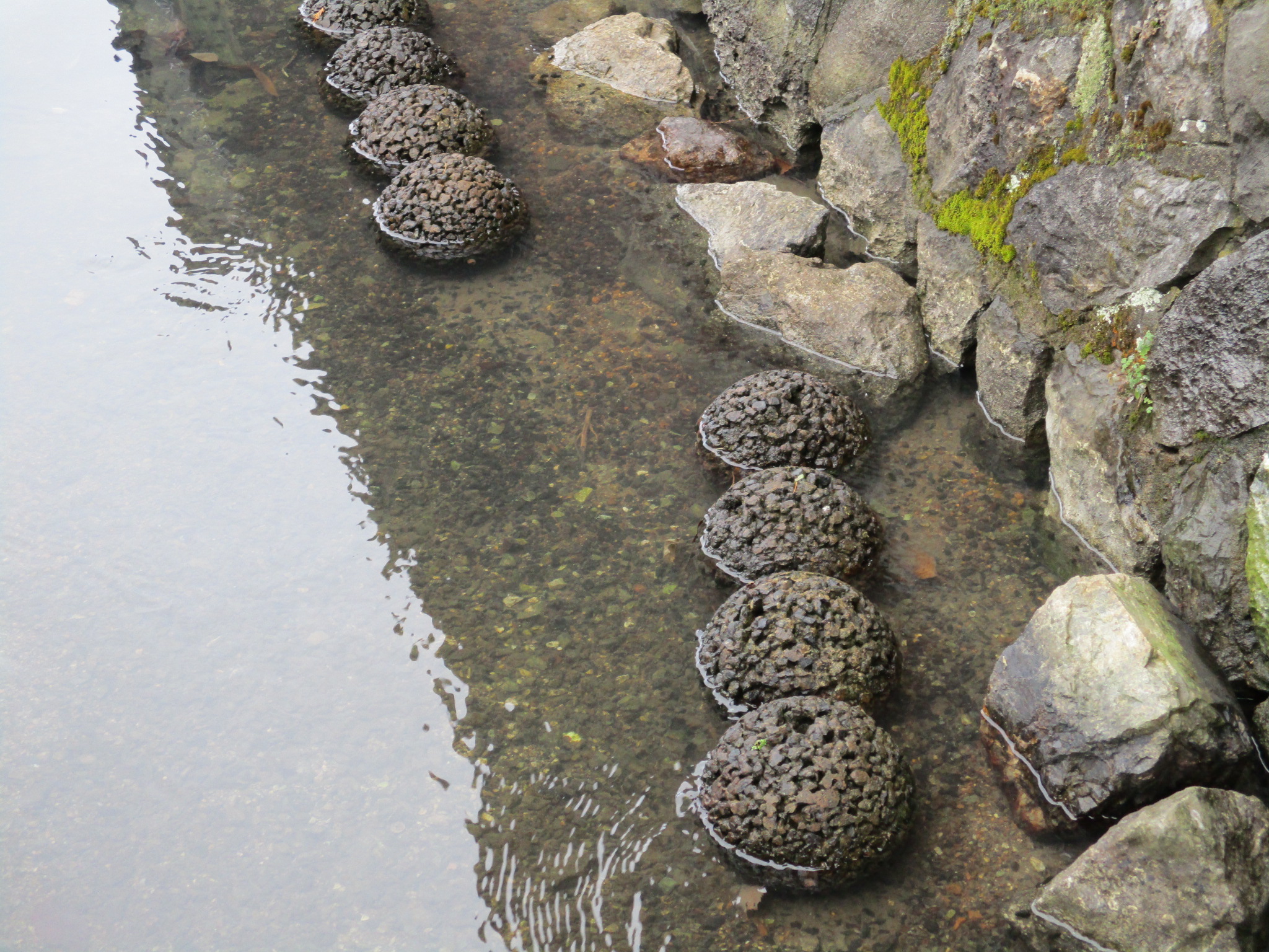
Notosejō was a fortified residence. Although the site has been developed over with housing, traces remain of the castle. Namely, there are waterways on three sides, and these used to be moats fed from the Amano River. Though wider than irrigation channels and more angular that natural waterways, they are still rather narrow and may have lost their width in more recent times. From the waterways we can tell that the castle occupied an area which spread about 180m east-west and 120m north-south. Some bloggers say that the layout of the road into the area within the moat is indicative of a koguchi (castle gate) ruin. I became more interested in the old houses within the moat space (the same family which owned the castle still live here apparently), however, but the waterways were interesting, and in one place a walkway runs over one stretch parallel. It’s a nice agri-suburban scene.
| Castle Profile | |
|---|---|
| English Name | Notose Castle |
| Japanese Name | 能登瀬城 |
| Founder | Hori Clan |
| Year Founded | c. 1500 |
| Castle Type | Fortified Manor |
| Castle Condition | Ruins only |
| Historical Period | Pre Edo Period |
| Artifacts | Mizubori |
| Features | water moats |
| Visitor Information | |
| Access | Nearest stations are Maibara Station and Samegai Station on the Tōkaidō Main Line |
| Visitor Information | Private Property |
| Time Required | 20 minutes |
| Location | Maibara, Shiga Prefecture |
| Coordinates | 35° 19' 51.64" N, 136° 19' 6.71" E |
|
|
|
| Admin | |
| Added to Jcastle | 2022 |
| Contributor | ART |
| Admin Year Visited | Viewer Contributed |
| Friends of JCastle | |
| Yamajiro Ōmi | |
| Jōkaku Tanbō | |


Enable comment auto-refresher