Nyunomi Castle
.JPG)
History
Although the castellan of Nyūnomijō is not known to history, the territory was certainly under the suzerainty of the Nishina Clan, Nyūnomijō being a satellite fortification of Kibunejō. See my profile on Azumi Kibune Castle for more information.
Visit Notes
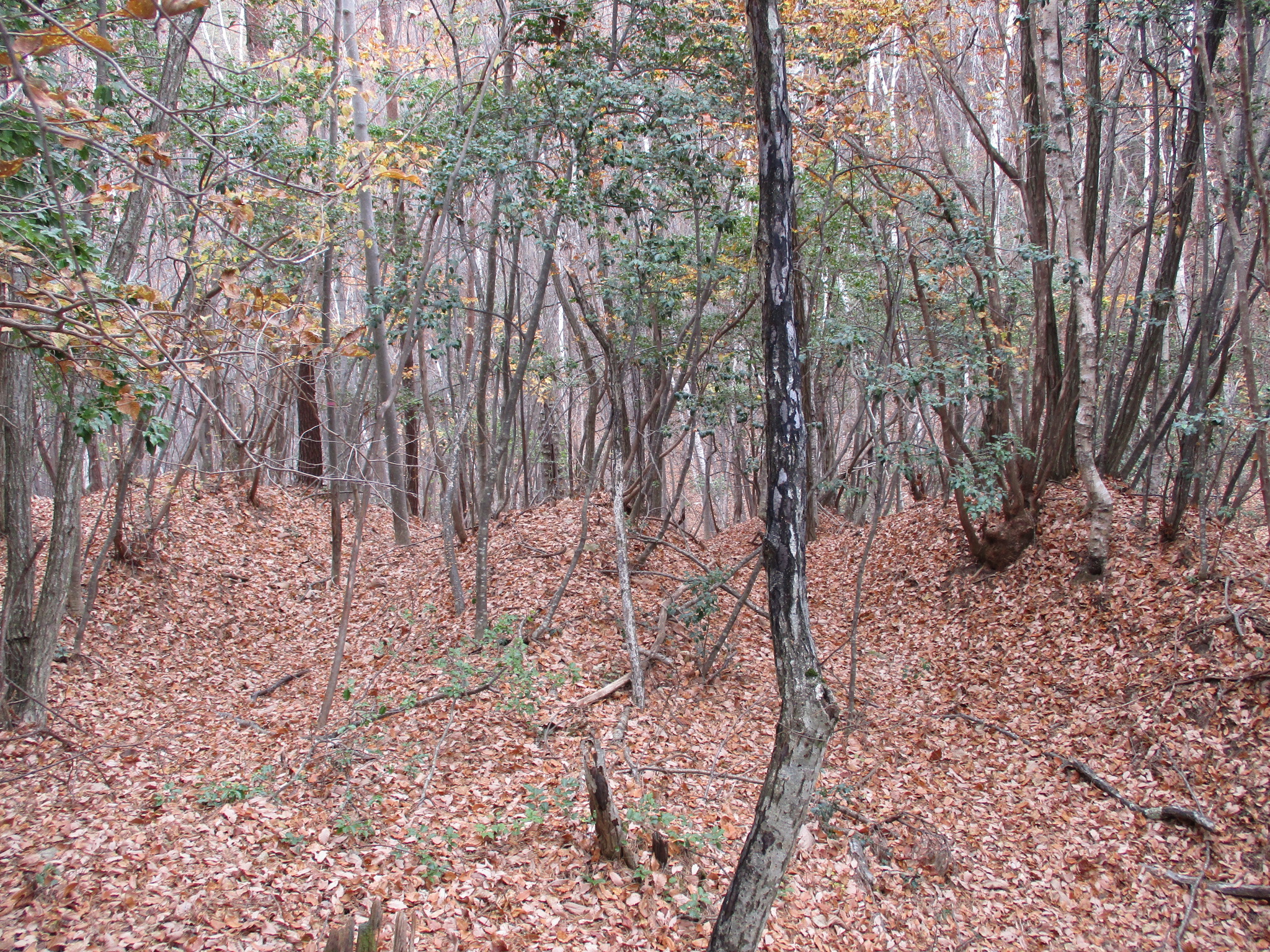
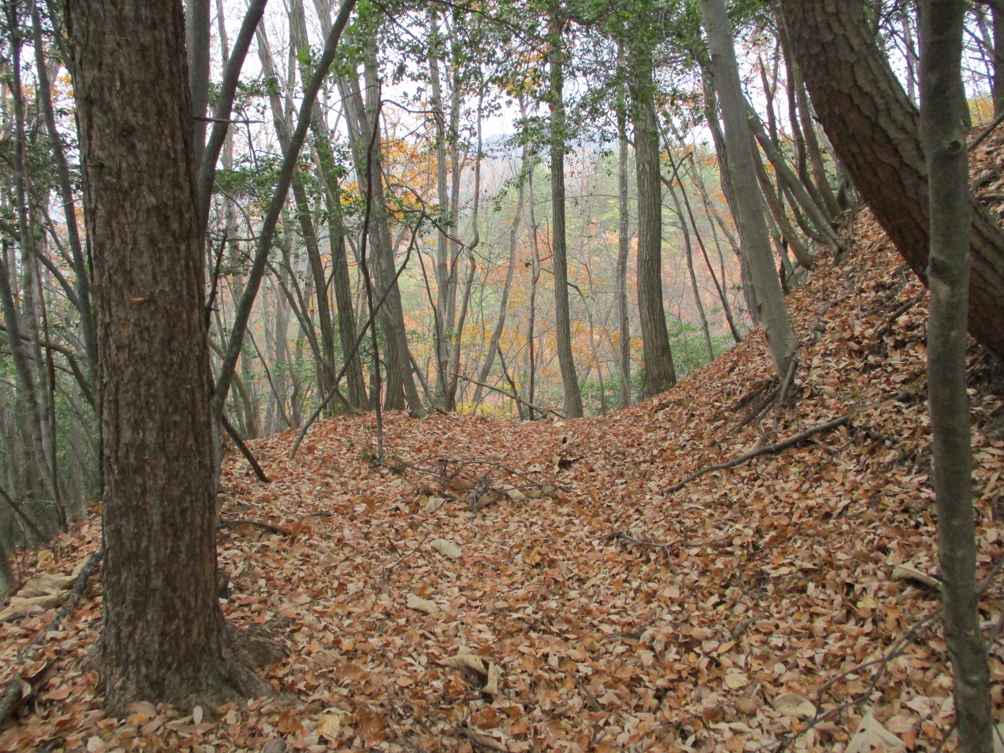
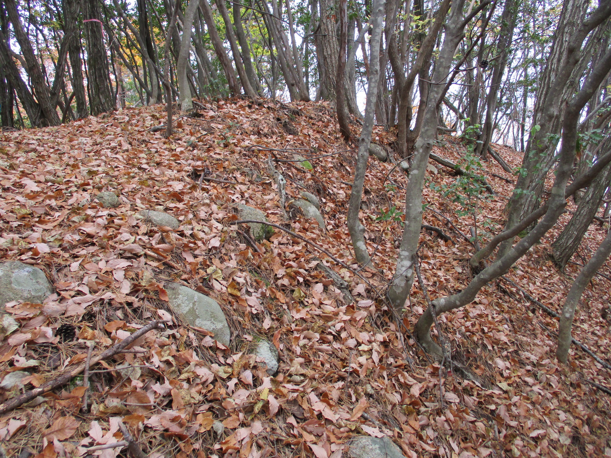
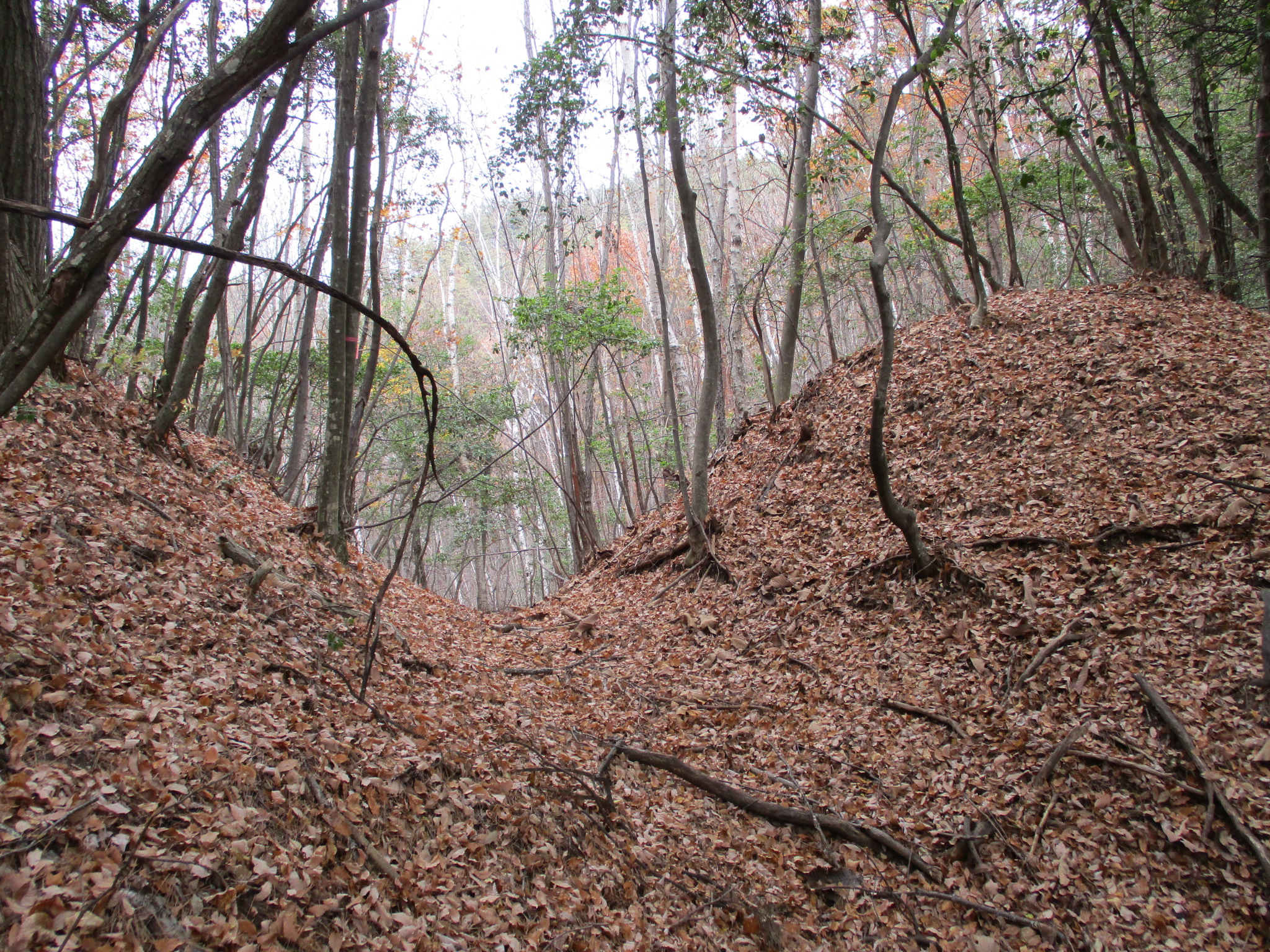
Nyūnomijō was really interesting. I couldn’t find a map to guide me at the time so I was going in blind, but I found an earthworks castle ruin with many impressive features. Nyūnomijō is guarded to the mountainside rear by four horikiri (trenches that cut the ridge) in a row, with dorui (earthen ramparts) in between. Along the eastern side beneath the main bailey is a most wonderful Sengoku period mountaintop castle feature known as unejōtatebori, which is a series of tatebori (climbing trenches) arranged in a row one after the other. The shukuruwa (main bailey) is surrounded by dorui. Below the shukuruwa is the second bailey, and between the second bailey and the third bailey is a double trench system. The third bailey complex has many koshikuruwa (sub-baileys) spilling down the mountainside before it in a series of protective “U” shapes. This no-name site proved to be a solid yamajiro and I was quite happy with it. I hiked to the ruins of Nyūnomijō from Aokijō by carefully following a series of ridges. Even though there weren’t trails as such I met with no serious impediments.
.JPG)
.JPG)
.JPG)
| Castle Profile | |
|---|---|
| English Name | Nyuunomi Castle |
| Japanese Name | 丹生子城 |
| Founder | Nishina Clan (probably) |
| Year Founded | Sengou Period |
| Castle Type | Mountaintop |
| Castle Condition | Ruins only |
| Historical Period | Pre Edo Period |
| Artifacts | Horikiri, Dorui, Tatebori, Kuruwa, Koshikuruwa |
| Features | trenches |
| Visitor Information | |
| Access | Shinano-Ômachi Station or Minami-Ômachi Station on the Ôito Line; 40 minute walk to trailhead |
| Visitor Information | 24/7 free; mountain |
| Time Required | 40 minutes |
| Location | Ômachi, Nagano Prefecture |
| Coordinates | 36° 28' 35.90" N, 137° 52' 20.42" E |
|
|
|
| Admin | |
| Added to Jcastle | 2021 |
| Contributor | ART |
| Admin Year Visited | Viewer Contributed |
| Friends of JCastle | |
| Yogo | |
| Hōrōki | |


Enable comment auto-refresher