
History
Odoriba-toride was a branch fortification of Takashimakojō, of which next to nothing remains too. Despite the steep and hilly terrain, the whole area has been developed over. See Takashimako Castle and Takashima Castle for more information.
Visit Notes
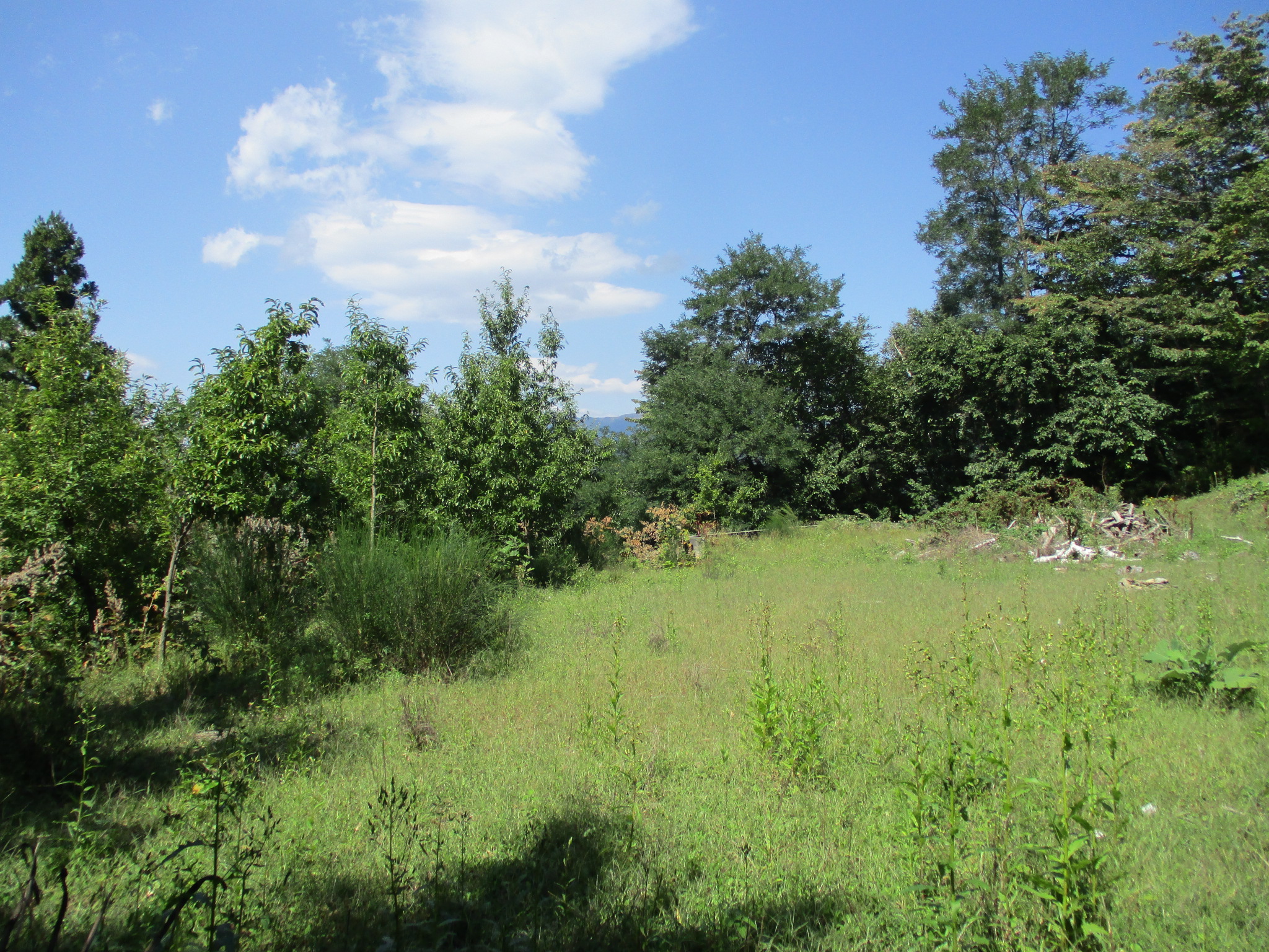
I could see the general area of this satellite fortification from Tenjin'yamajō. It is located on the slope behind the temple Onsenji, where the temple's necropolis now is, or slightly above it. These places are terraced in areas but it's impossible to determine if any of these earthworks were originally for the fort, and I had no reason to believe they were because I could not identify its main bailey. I worked my way up to the top of the steep slope behind the temple. The path from the cemetery was overgrown and gave way to trails used more by deer - for I saw some - than people. Likely the fort was located on higher elevation. Let's say we found the "top" where the land was sloping gently enough again for more suburban expansion, though the elevation continues to climb again soon after; if the fort was here then it has now been long developed over.
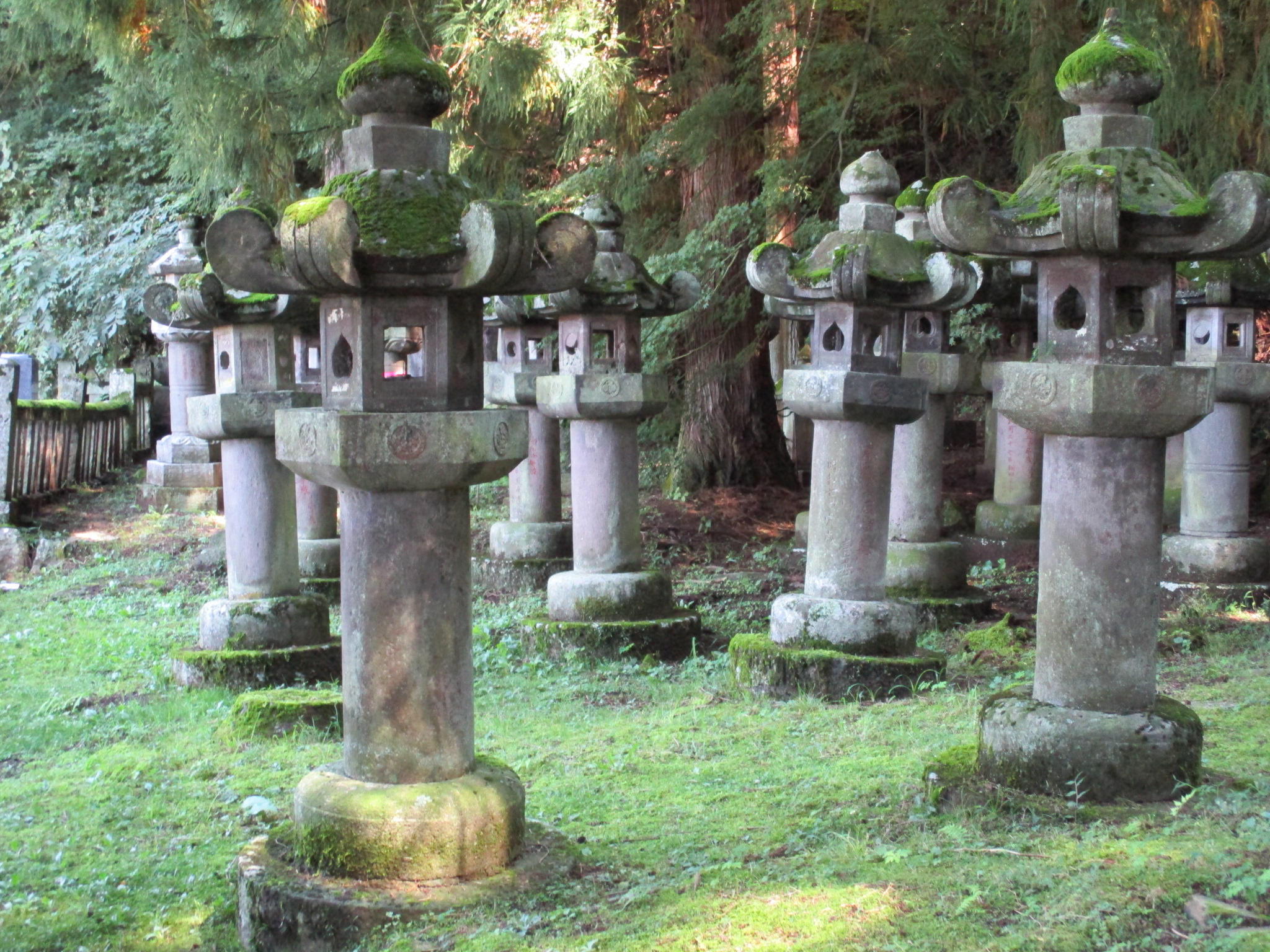
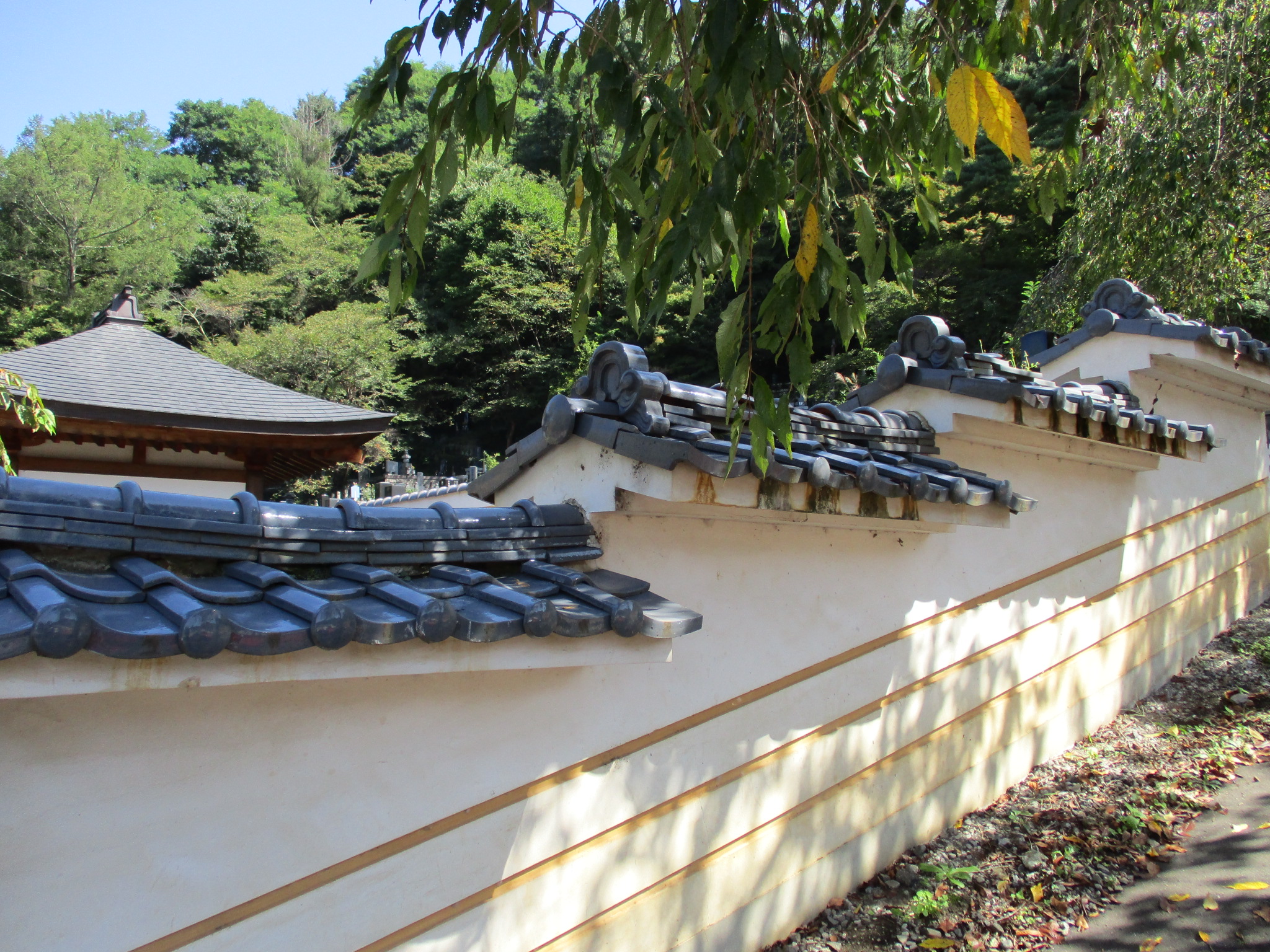
Odoriba-toride is a super minor site, and does not show up in many catelogues of castles, but I did enjoy re-visiting Onsenji in the process. The temple has fine architecture, including a relocated gate and a Noh stage from Takashimajō. In the temple's necropolis can be found the monumental funerary monoliths of the lords of Takashima Domain. For more pictures and for information on how Onsenji related to Takashimajō please follow this link: https://www.facebook.com/groups/japanesecastles/posts/2292481010877973/
Gallery
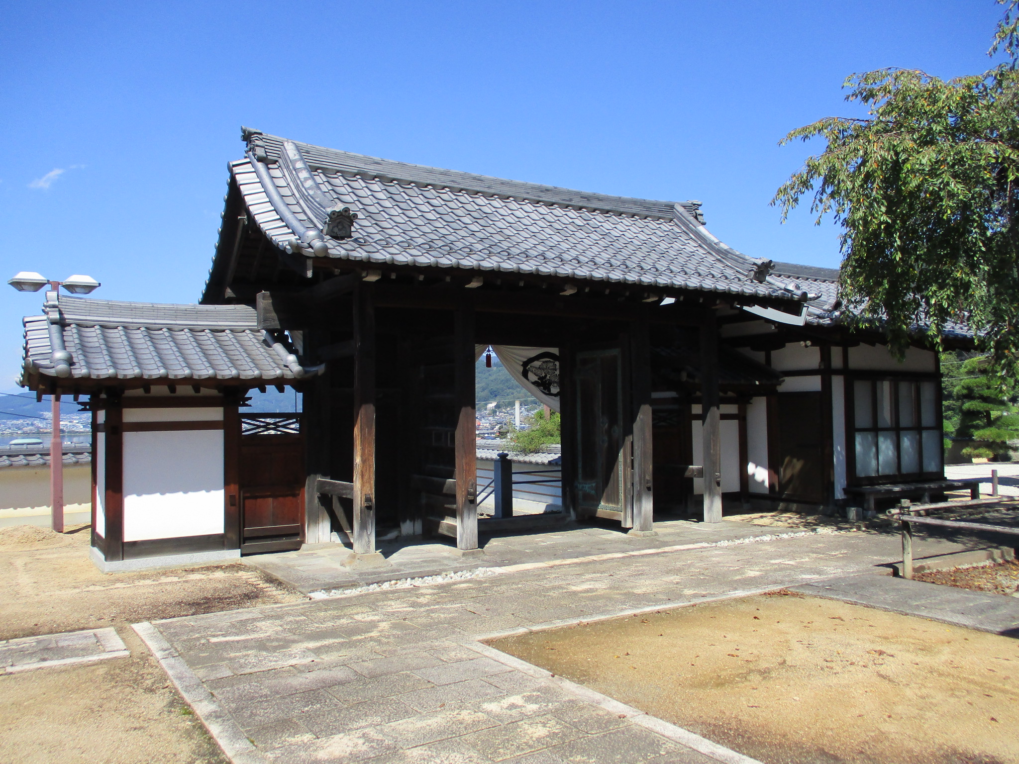
 Onsenji temple's main hall was formerly a building housing a Noh stage built at the castle by 8th generation castle lord, Suwa Tadamichi. One can see where extra facades have been built where formerly they would've been open to allow the audience to see the performance canopied under the large projecting gable.

| Castle Profile | |
|---|---|
| English Name | Odoriba Fort |
| Japanese Name | 踊場砦 |
| Founder | Upper Suwa Faction |
| Year Founded | 14th Century |
| Castle Type | Mountaintop |
| Castle Condition | Ruins only |
| Historical Period | Pre Edo Period |
| Features | |
| Visitor Information | |
| Access | Kami-Suwa Station on the Chuo Line; 10 minute walk to Onsenji Temple |
| Visitor Information | 24/7; Free; Temple |
| Time Required | 10 minutes |
| Location | Suwa, Nagano Prefecture |
| Coordinates | 36° 3' 0.22" N, 138° 7' 13.84" E |
|
|
|
| Admin | |
| Added to Jcastle | 2021 |
| Contributor | ART |
| Admin Year Visited | Viewer Contributed |
| Friends of JCastle | |
| Shingen Travel | |


Enable comment auto-refresher