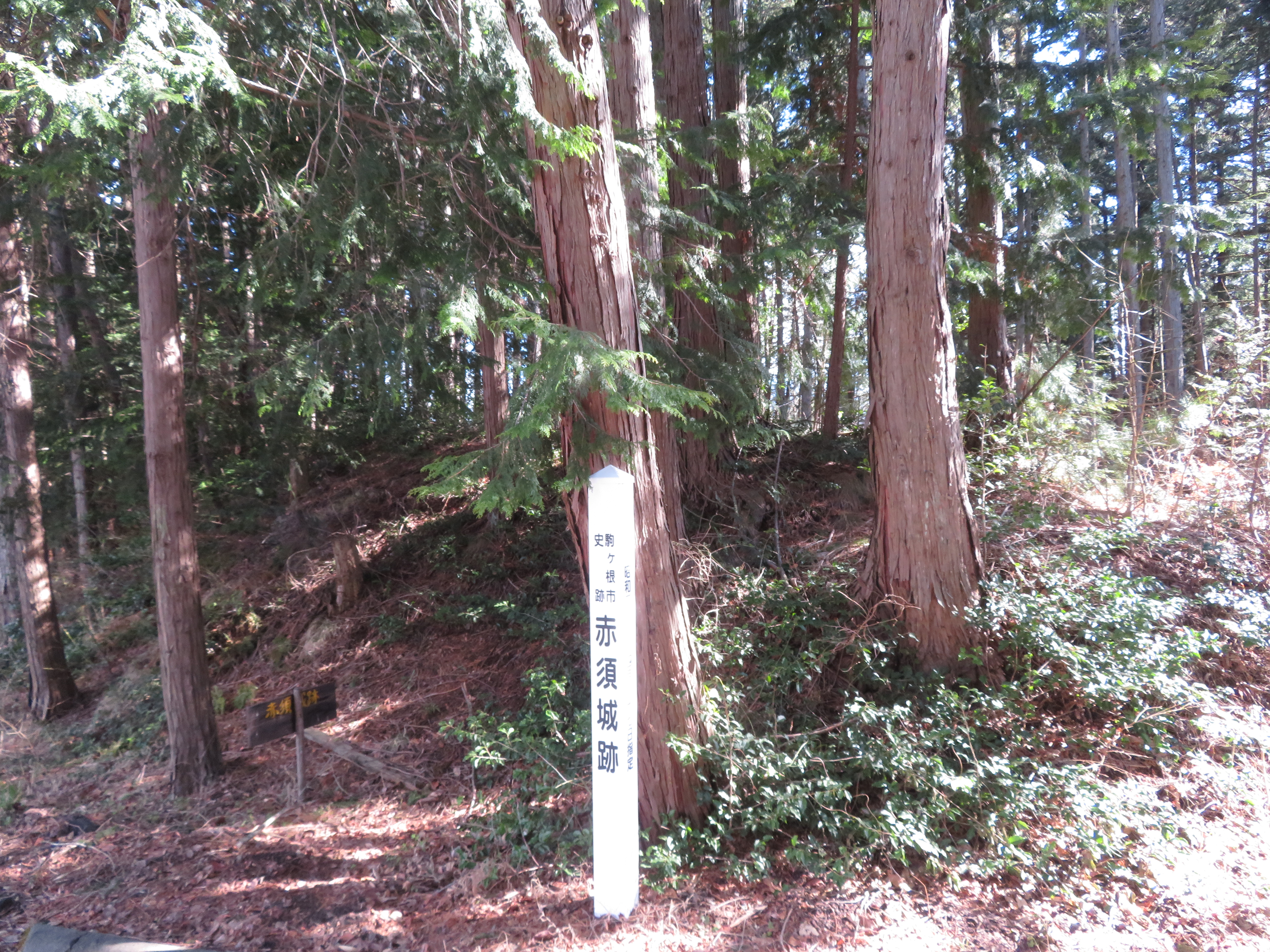
Akasu Castle (Ina)
.JPG)
History
Said to have been constructed by Katagiri Magosaburō Tameyuki in the 14th century, whose descendents became the Akasu Clan and ruled the vicinity from this castle, Akasujō saw action during the invasions of Takeda Shingen, and, later, Oda Nobunaga. The Akasu Clan sided with Takeda Shingen, but in 1582 Oda Nobunaga's invasion left them vulnerable. Akasujō was put to siege by Nobunaga's armies and destroyed. It seems the Akasu were also involved in defending Ôshimajō to the south, but that castle also fell. Akasujō was not rebuilt thereafter.
Visit Notes
Akasujō was the first site on a castle walk which ended up encompassing sixteen different castle ruins. I had already visited two castle sites in Ina City early that morning, and I would visit two more in Ina City later that evening, all in all visiting twenty castle ruins that day! I was pretty chuffed at the end of the day, and, getting back to my (dirt cheap) hotel, thinking back to visiting Akasujō seemed like so long ago!
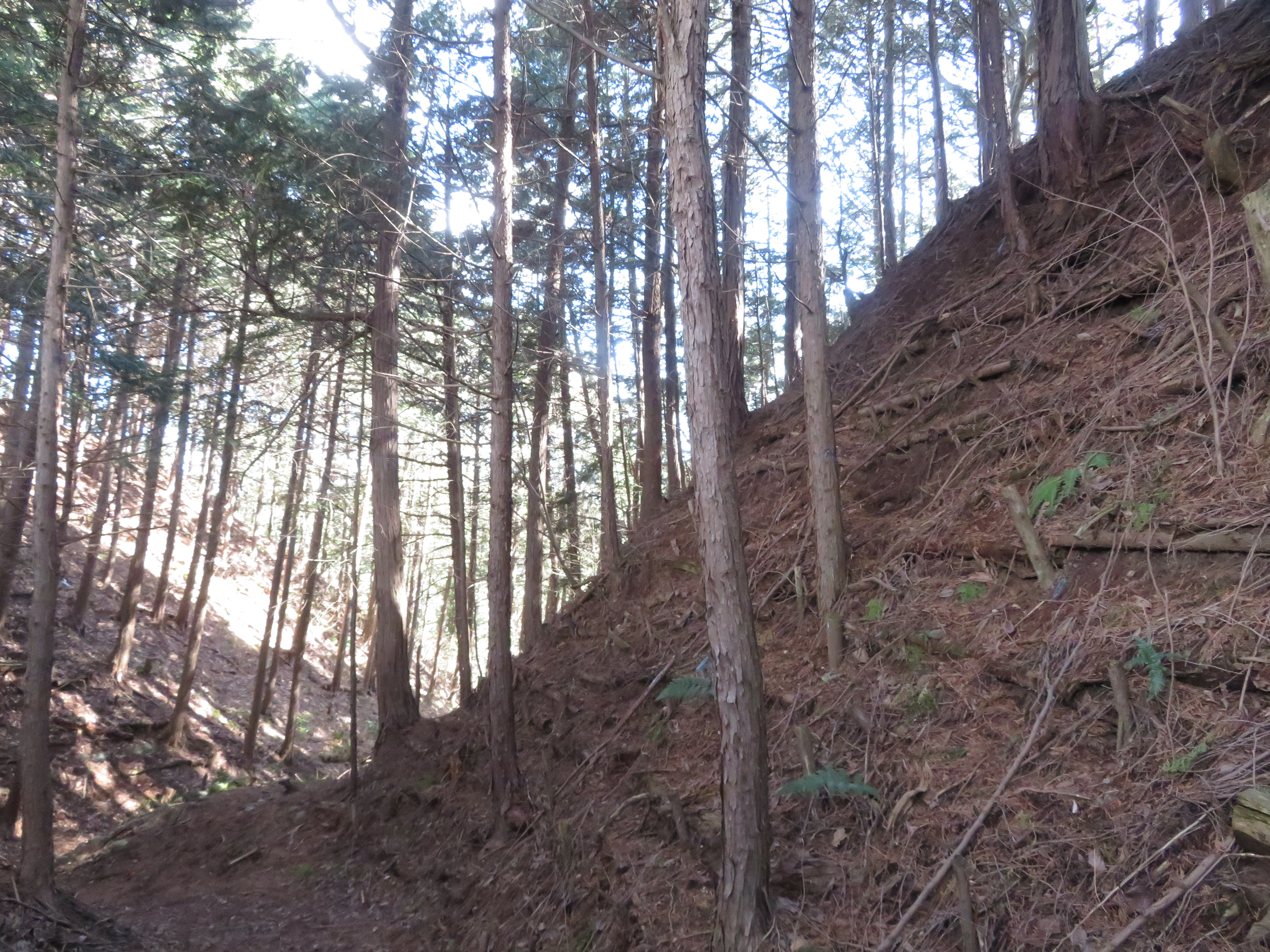
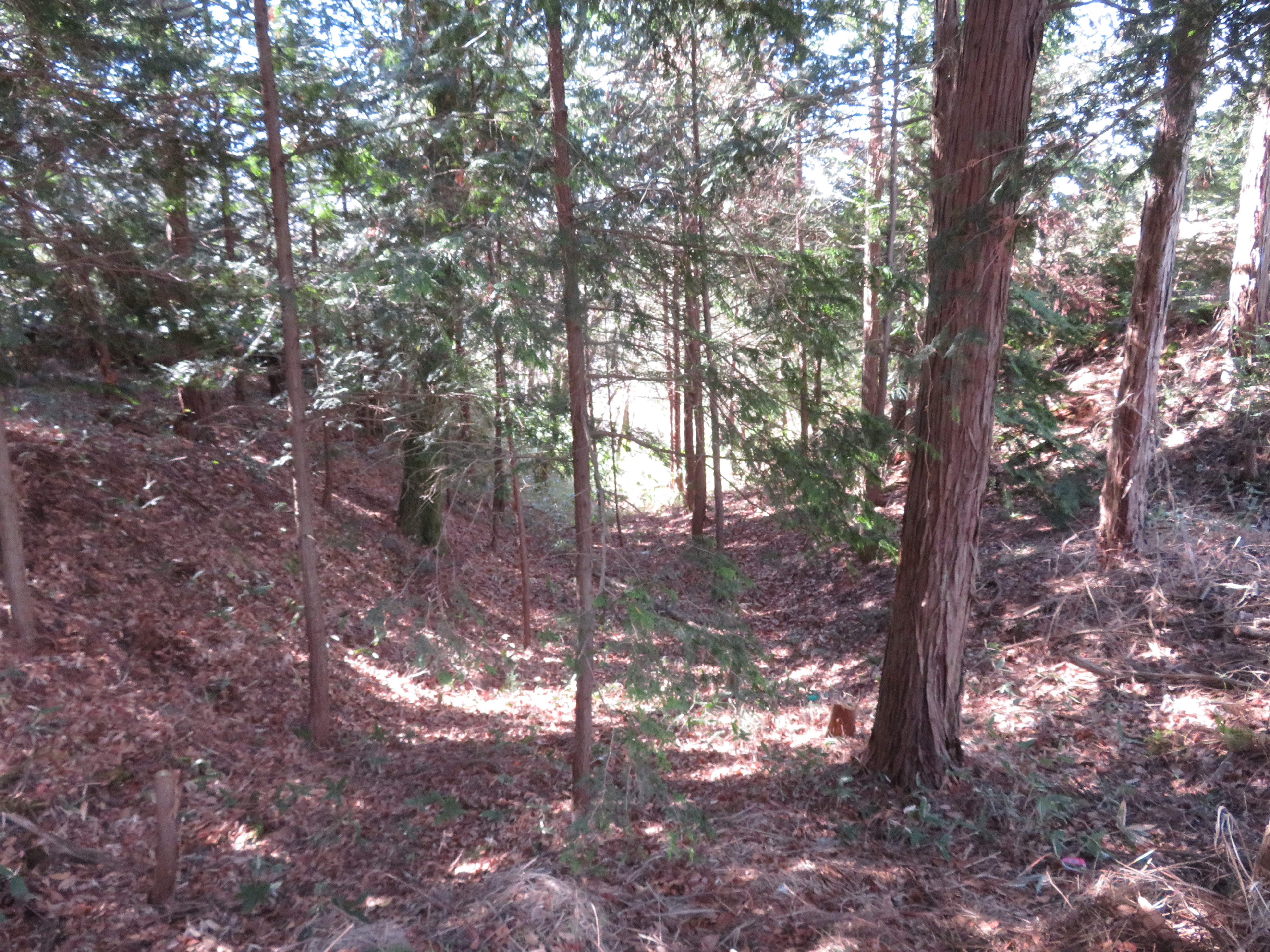
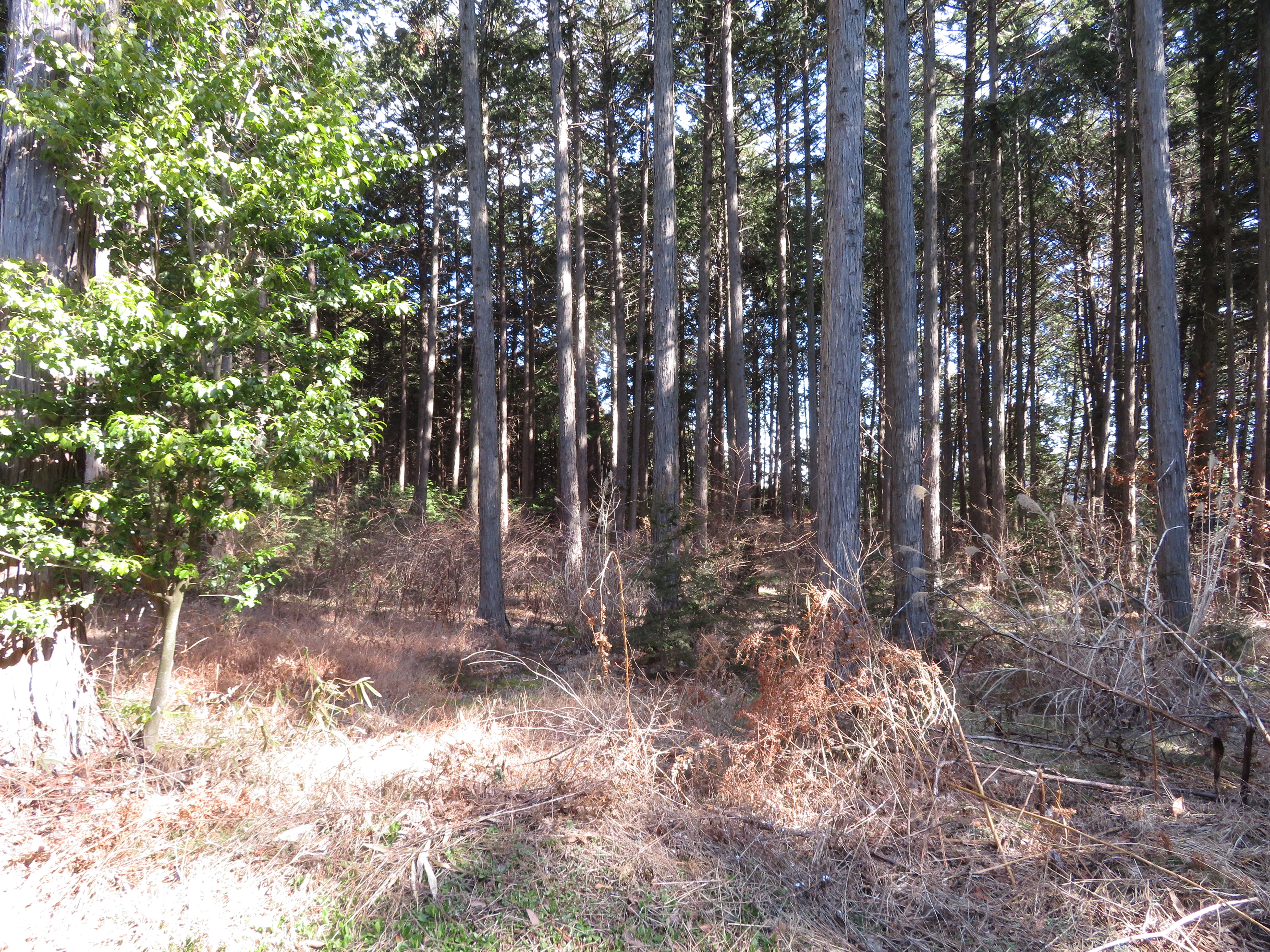
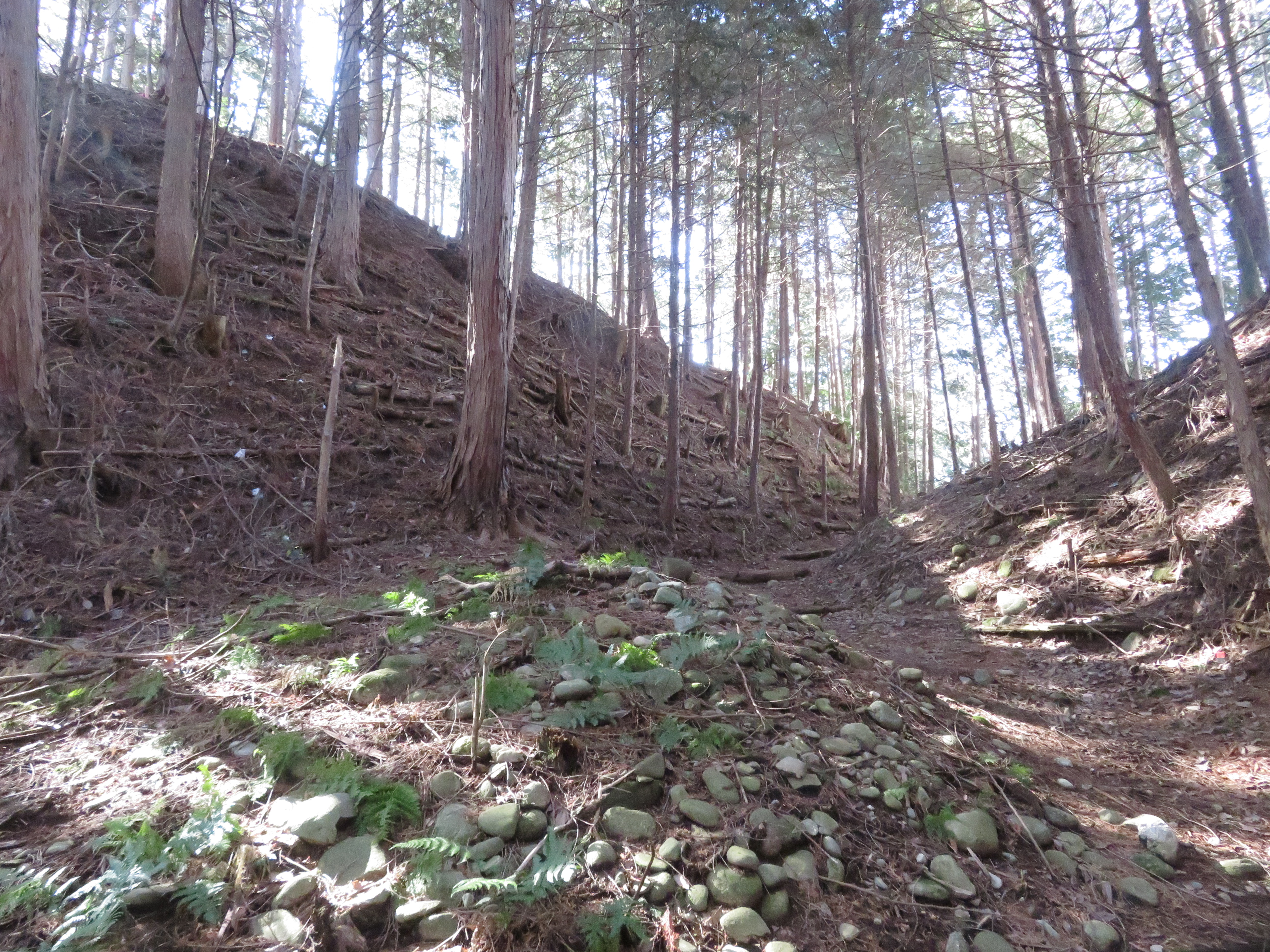
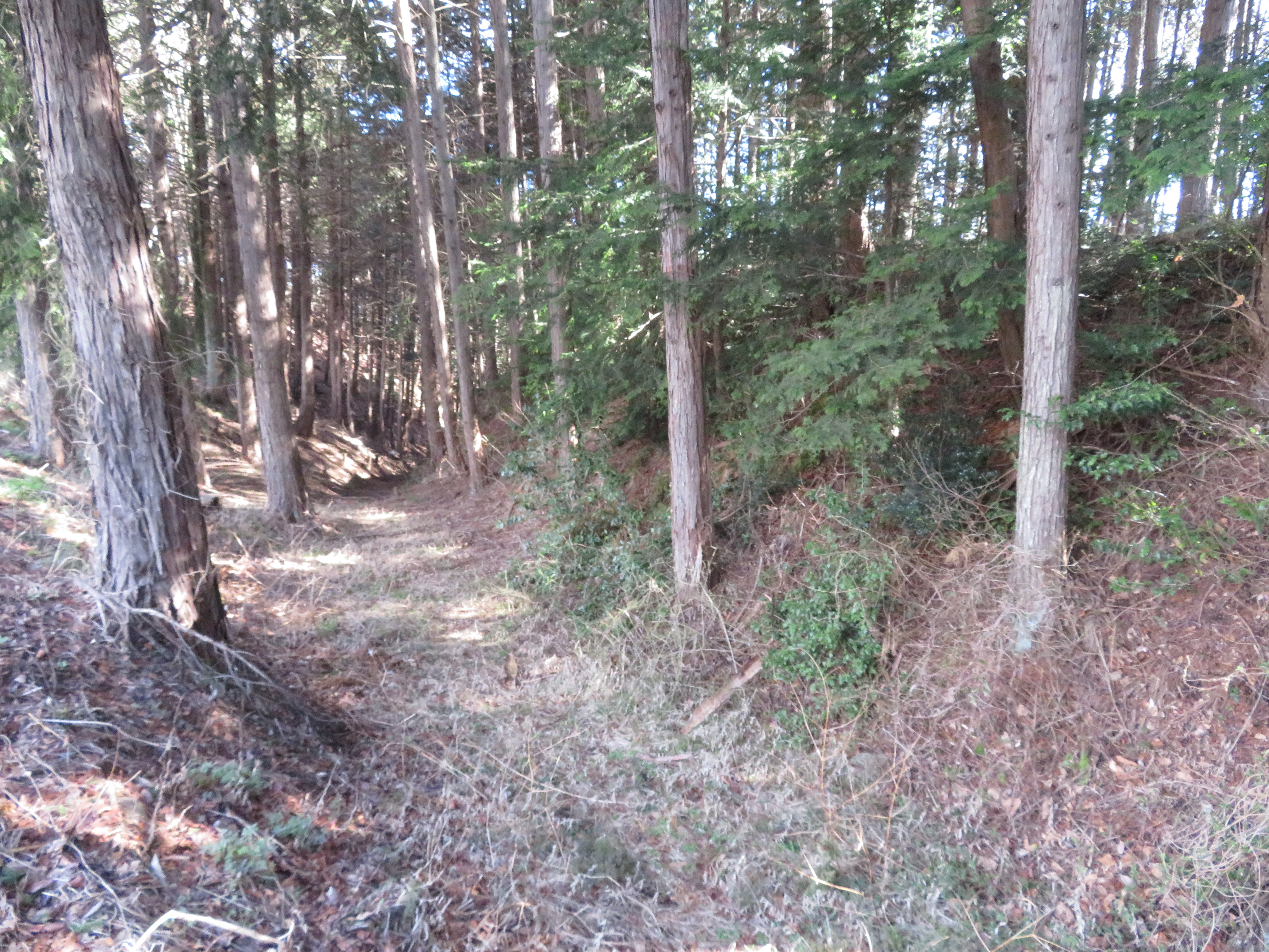
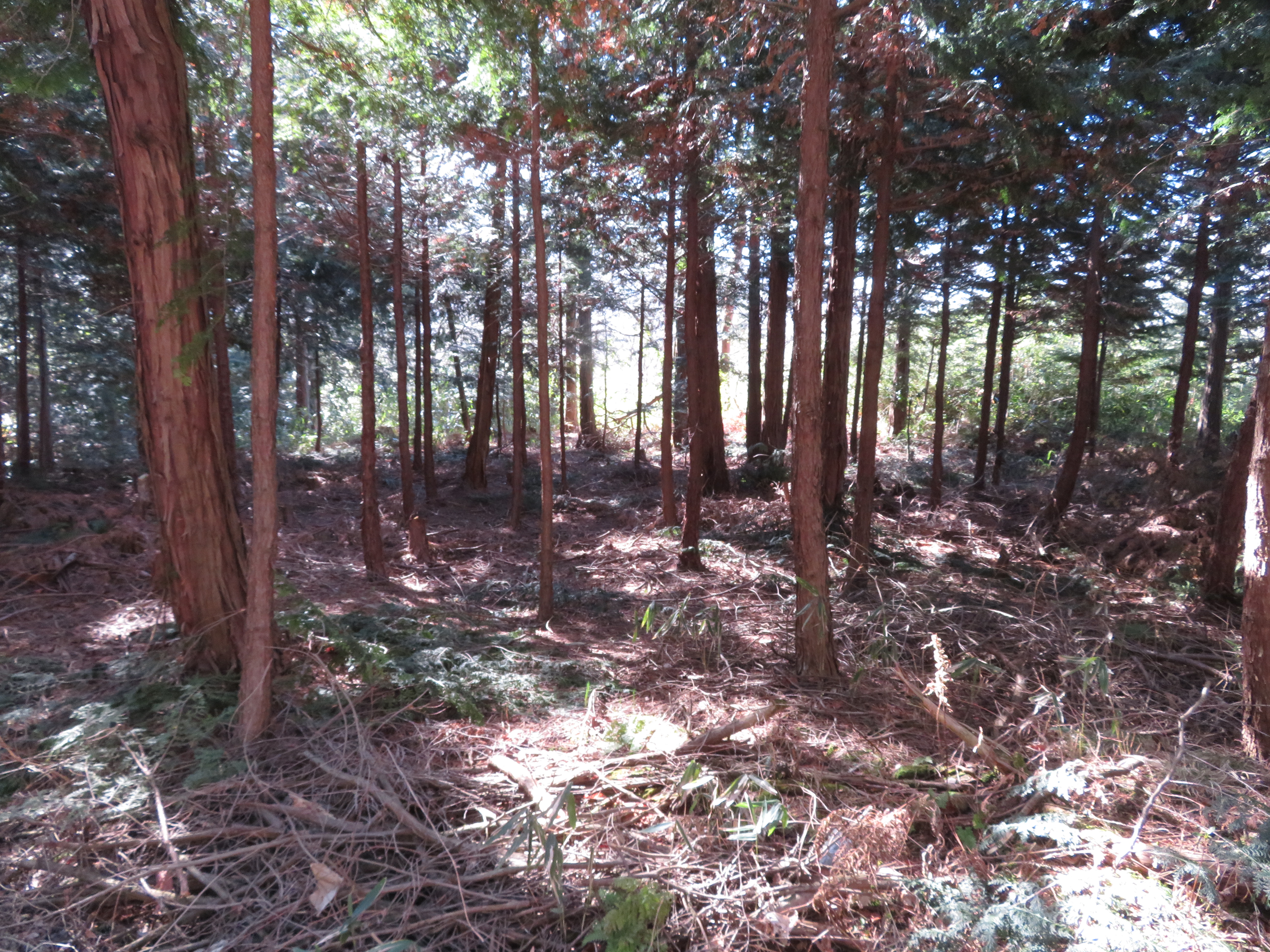
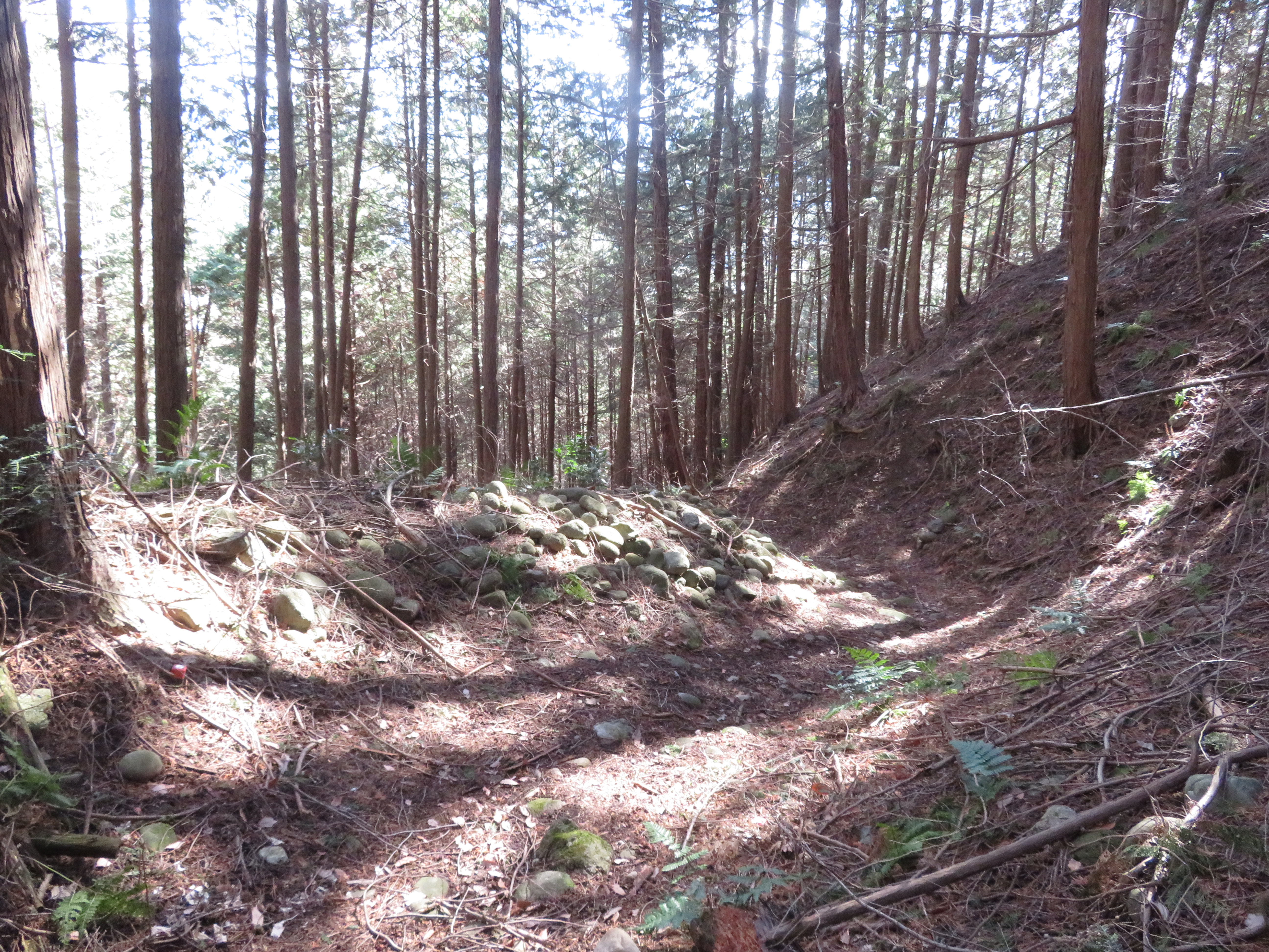
The castle consists of several kuruwa (baileys) divided by karabori (dry moats) situated along a cliff top overlooking an alluvial plain. The shukuruwa (main bailey) is in the middle, between the ninokuruwa (second bailey) and outer bailey. The shukuruwa and ninokuruwa are easy to identify because they are perforated by karabori either side of the road which runs through them. To the north of the promintory were two more baileys, the deguruwa and soguruwa (添郭). Along the cliffline spreading outward from the fort were minor fortifications (minor baileys and trenches) and samurai homes. I came via the top of the cliff and descended into the river plain by taking the karabori beneath the ninokuruwa, and from here the scale of the earthworks was evident.


.JPG)
.JPG)
.JPG)
.JPG)
.JPG)
.JPG)
.JPG)
.JPG)
.JPG)
.JPG)
.JPG)
.JPG)
.JPG)
| Castle Profile | |
|---|---|
| English Name | Akasu Castle (Ina) |
| Japanese Name | 伊那赤須城 |
| Founder | Katagiri Magosaburō Tameyuki |
| Year Founded | 14th Century |
| Castle Type | Hilltop |
| Castle Condition | Ruins only |
| Designations | Local Historic Site |
| Historical Period | Pre Edo Period |
| Artifacts | Karabori, Tatebori, Kuruwa, Dorui |
| Features | trenches |
| Visitor Information | |
| Access | Komachiya Station on the Iida Line; 30 minute walk |
| Visitor Information | 24/7 free |
| Time Required | 40 minutes |
| Location | Komagane, Nagano Prefecture |
| Coordinates | 35° 43' 31.58" N, 137° 57' 35.71" E |
|
|
|
| Admin | |
| Added to Jcastle | 2020 |
| Contributor | ART |
| Admin Year Visited | Viewer Contributed |


Enable comment auto-refresher