.JPG)
History
Chikuma-Uedajō was built by the Ogasawara Clan to watch over the vitally important road into the Ina Valley. The Ogasawara's main power base was in the Chikuma District centered around the Matsumoto Basin. They were vulnerable to attacks from the surrounding valleys. Ono Town, which Uedajō overlooks, is at the edge of the district. In the Edo Period it became the site of Ono-juku, a Shukuba ("Post Town"), due to its well-travelled road. The castle was also used as a fortified signal tower.
Visit Notes
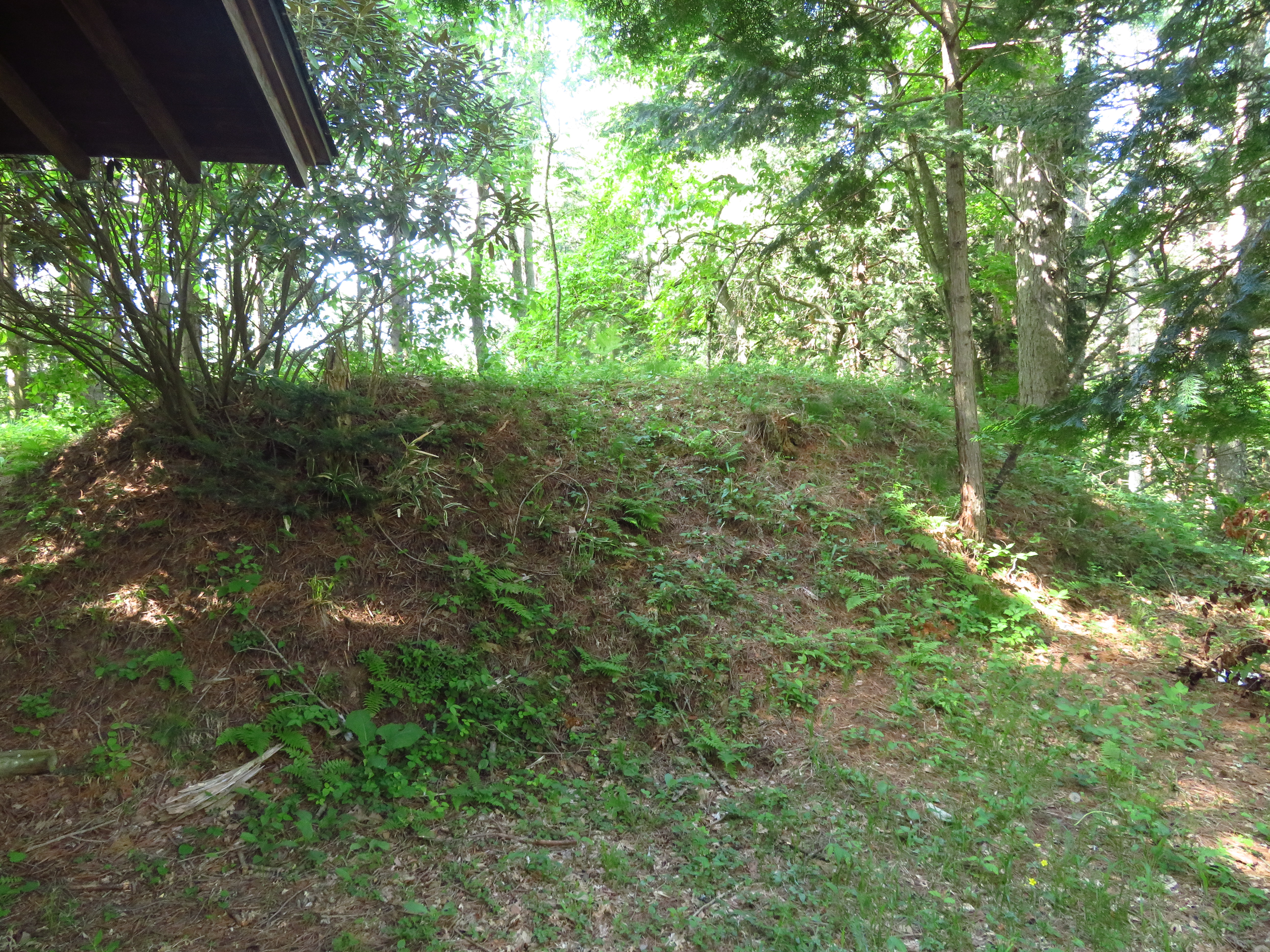
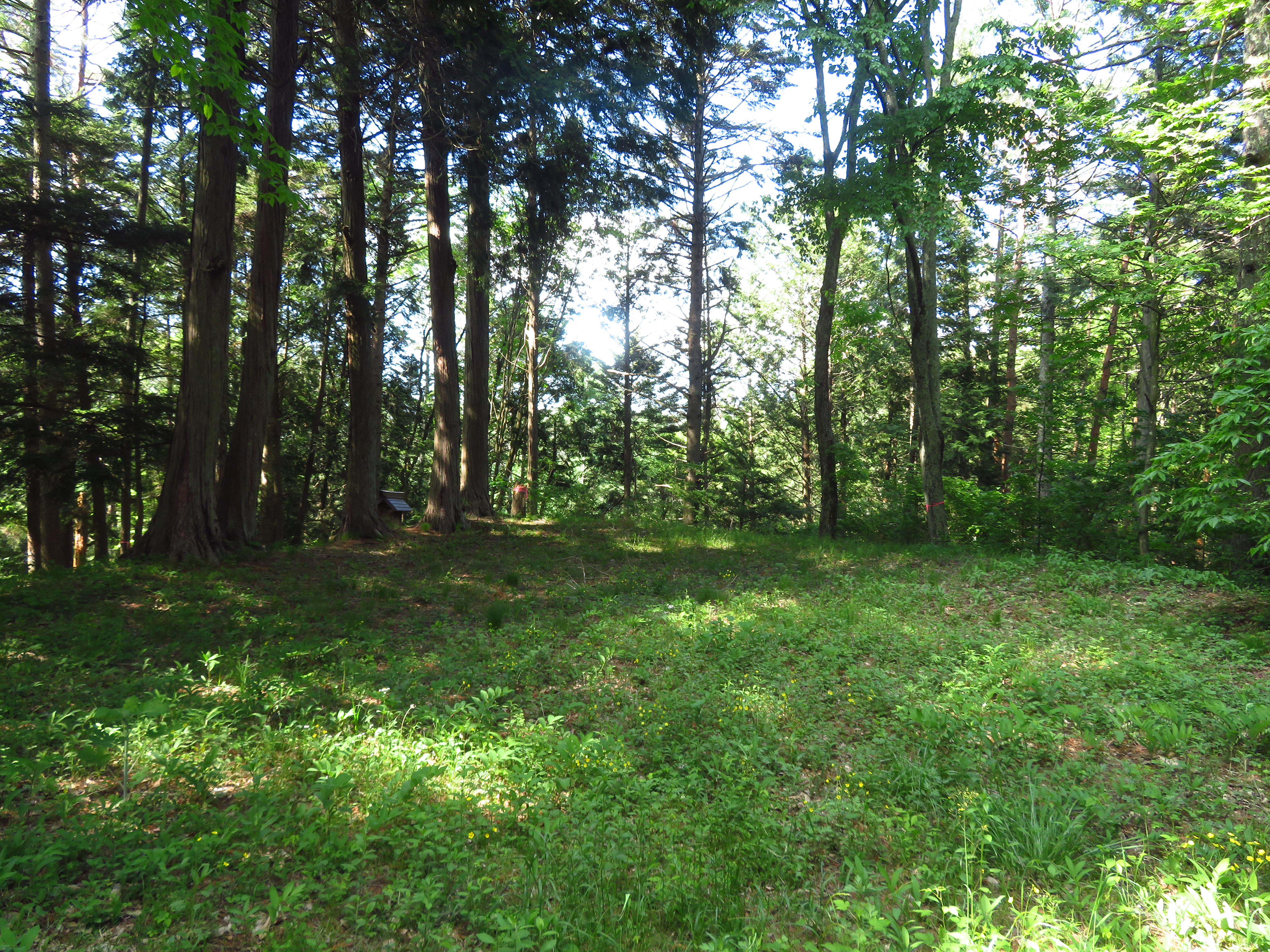
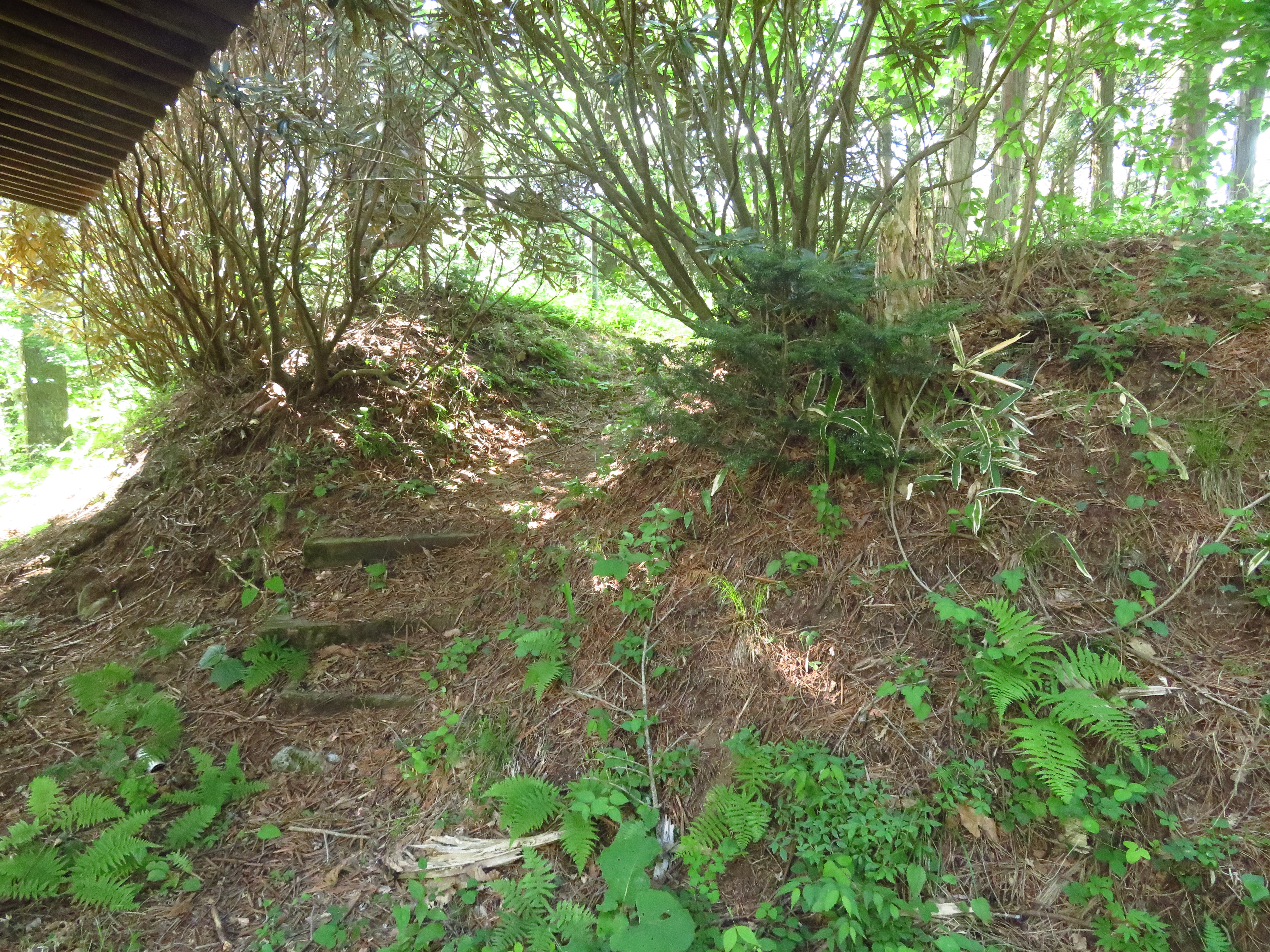
Ueda Castle in Chikuma District is not to be confused with the more famous Ueda Castle, also in Nagano Prefecture, in Ueda City (formerly Chiisagata District). This Ueda Castle is a much more humble yamajiro (mountain castle) overlooking the town of Ono (split administratively between the municipalities of Shiojiri and Tatsuno, with the castle ruins being on the Shiojiri side, technically "Kita-Ono"). It consists of small shrine structures and the castle's upper terraces, as well as its main bailey, crowning the site. The main bailey is surrounded by dorui (earth-piled ramparts) and they are most impressive when entering the enclosure from the koguchi ("tiger's maw" gate complex). I exited via another path which took me over bumpy earth which represented the deformed remains of sub-baileys and horikiri (trenches which perforate the ridge line). Coming down I passed long, neat terracing. This may have been part of the castle originally but it's hard to tell as the site was obviously developed in modern times as a cedar plantation.

.JPG)
.JPG)
.JPG)
| Castle Profile | |
|---|---|
| English Name | Ueda Castle (Chikuma) |
| Japanese Name | 筑摩上田城 |
| Founder | Ogasawara Clan |
| Year Founded | Sengoku Period |
| Castle Type | Mountaintop |
| Castle Condition | Ruins only |
| Historical Period | Pre Edo Period |
| Artifacts | Kuruwa, Horikiri, Dorui, Koshiguruwa, Kaidankuruwa |
| Features | trenches |
| Visitor Information | |
| Access | Ono Station on the Okaya-Shiojiri Branch Line of the Chuo Main Line; 15 minute walk |
| Visitor Information | 24/7 free; park |
| Time Required | 45 minutes |
| Location | Shiojiri, Nagano Prefecture |
| Coordinates | 36° 3' 18.68" N, 137° 58' 30.11" E |
|
|
|
| Admin | |
| Added to Jcastle | 2020 |
| Contributor | ART |
| Admin Year Visited | Viewer Contributed |


Enable comment auto-refresher