.JPG)
History
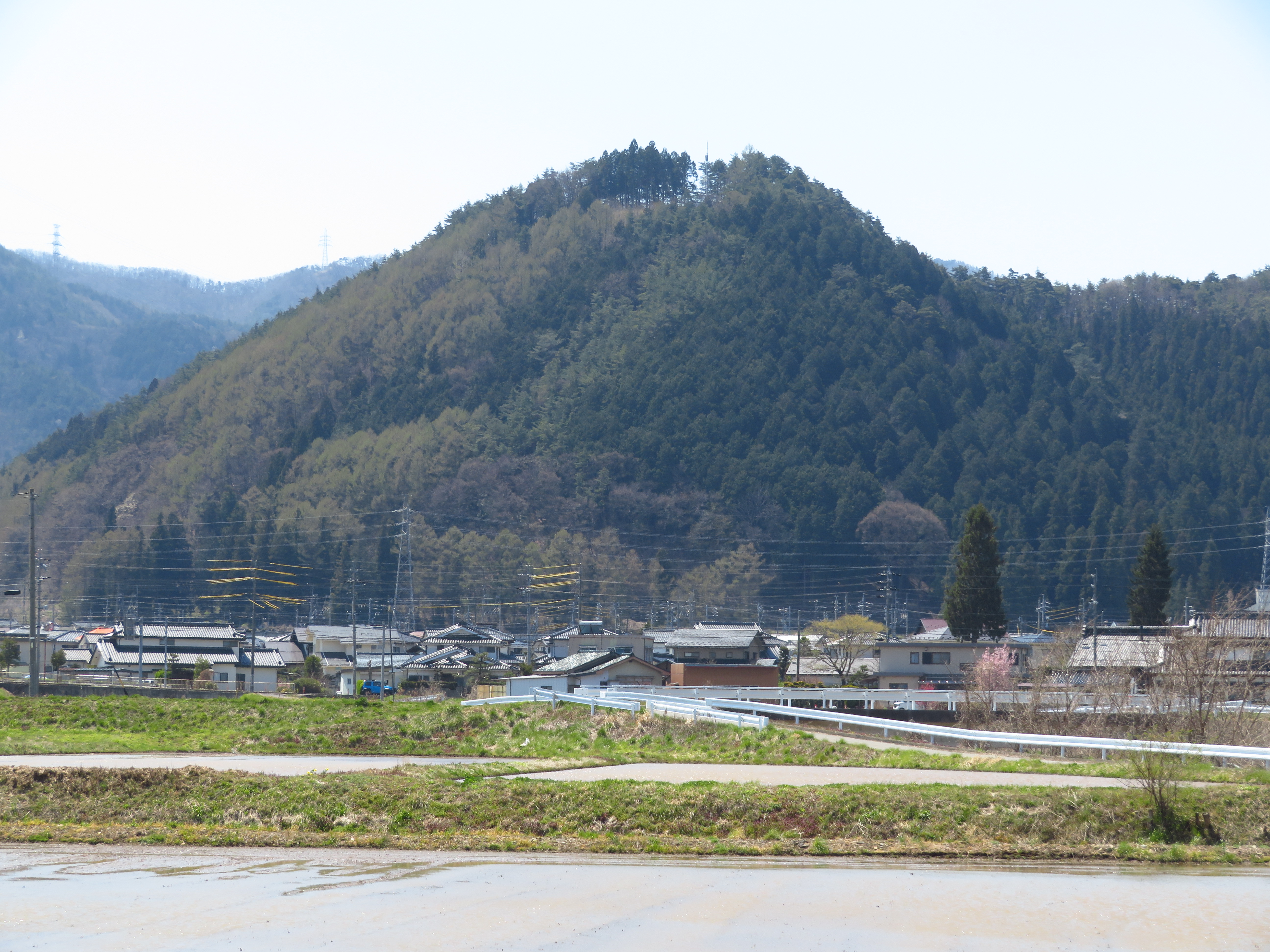
Uenoyamajō was built by the Ogasawara Clan who ruled Shinano Province from their powerbase near modern day Matsumoto (Igawa Castle and Hayashiohjo Castle were Ogasawara Clan strongholds). Uenoyamajō was part of a network of castles encompassing Arashi Castle and Iinawa Castle to the south. Together these fortifications protected Ogasawara heartlands during the turbulent Sengoku Period. Uenojō's strategic position meant it was vital in protecting entry into the valley from Suwa District in the southeast and also from Ina District in the southwest (Uenojō's district is Chikuma, which encompasses the valley containing Matsumoto, and rises into Azumi District in the northwest). Whilst the mountain ruin was the main fortified area for in times of war, the site of day-to-day affairs and lord's manor are presumed to have been located at the foot of the mountain where the temple Saifukuji is located today.
Visit Notes
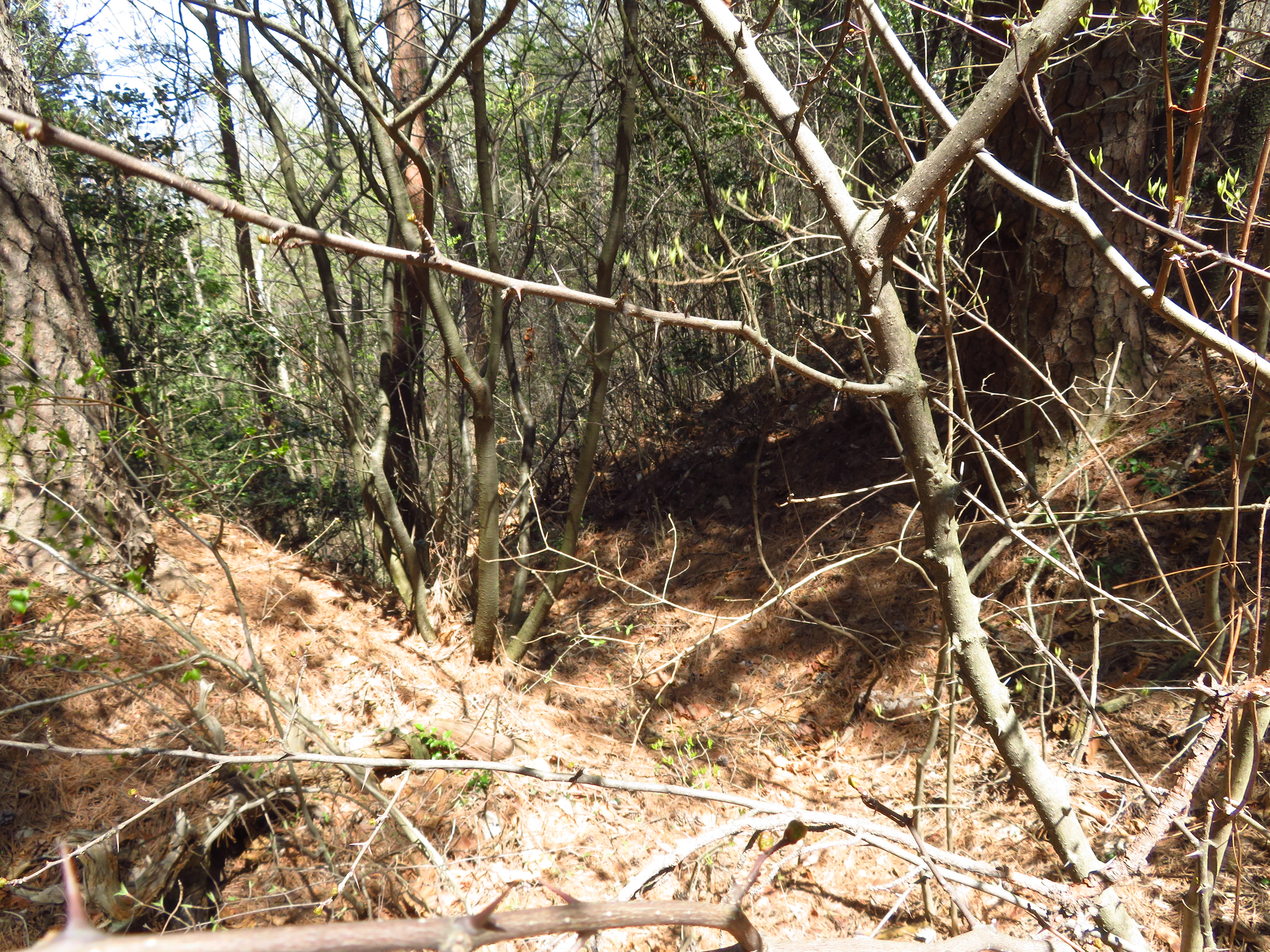
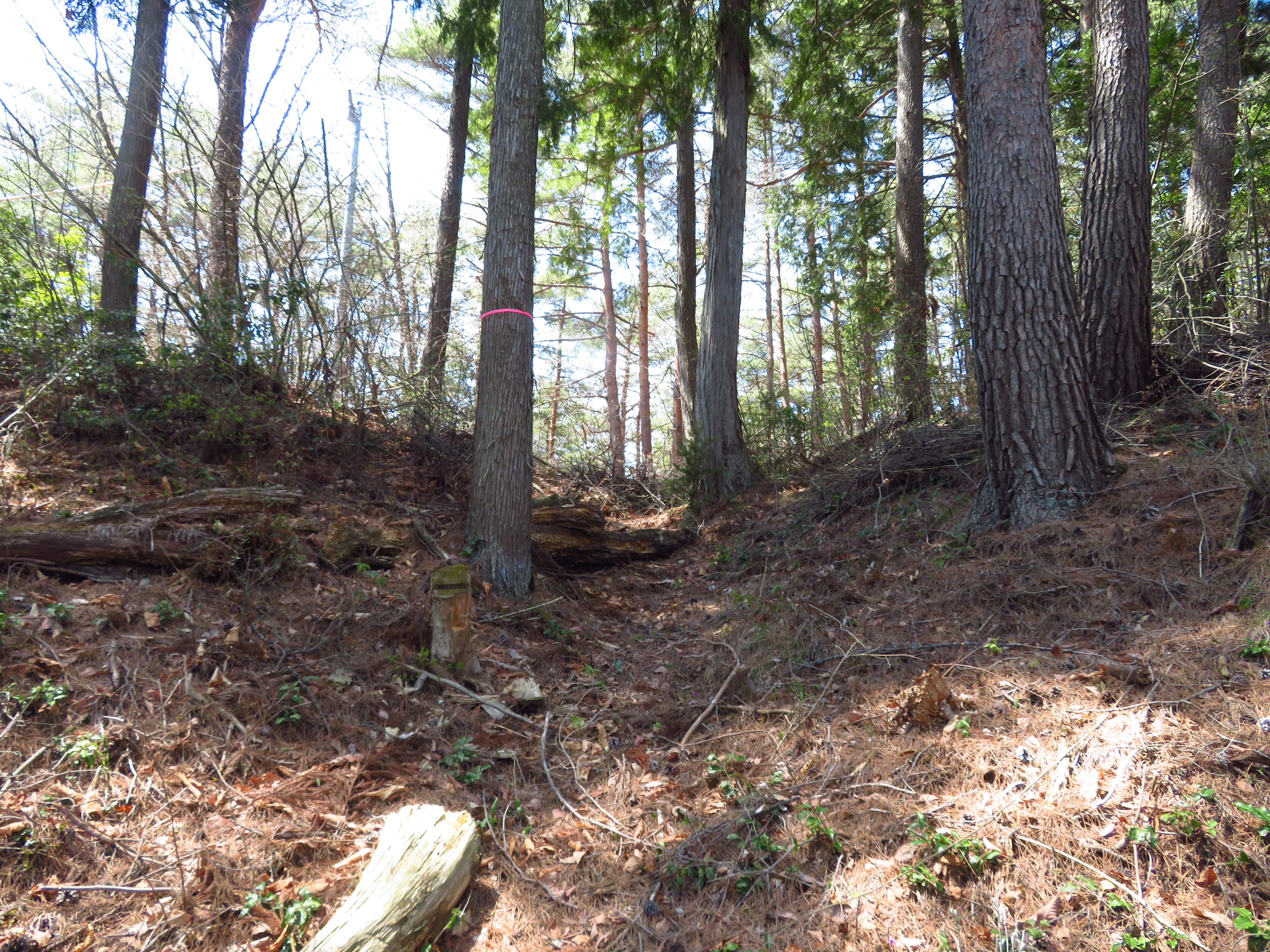
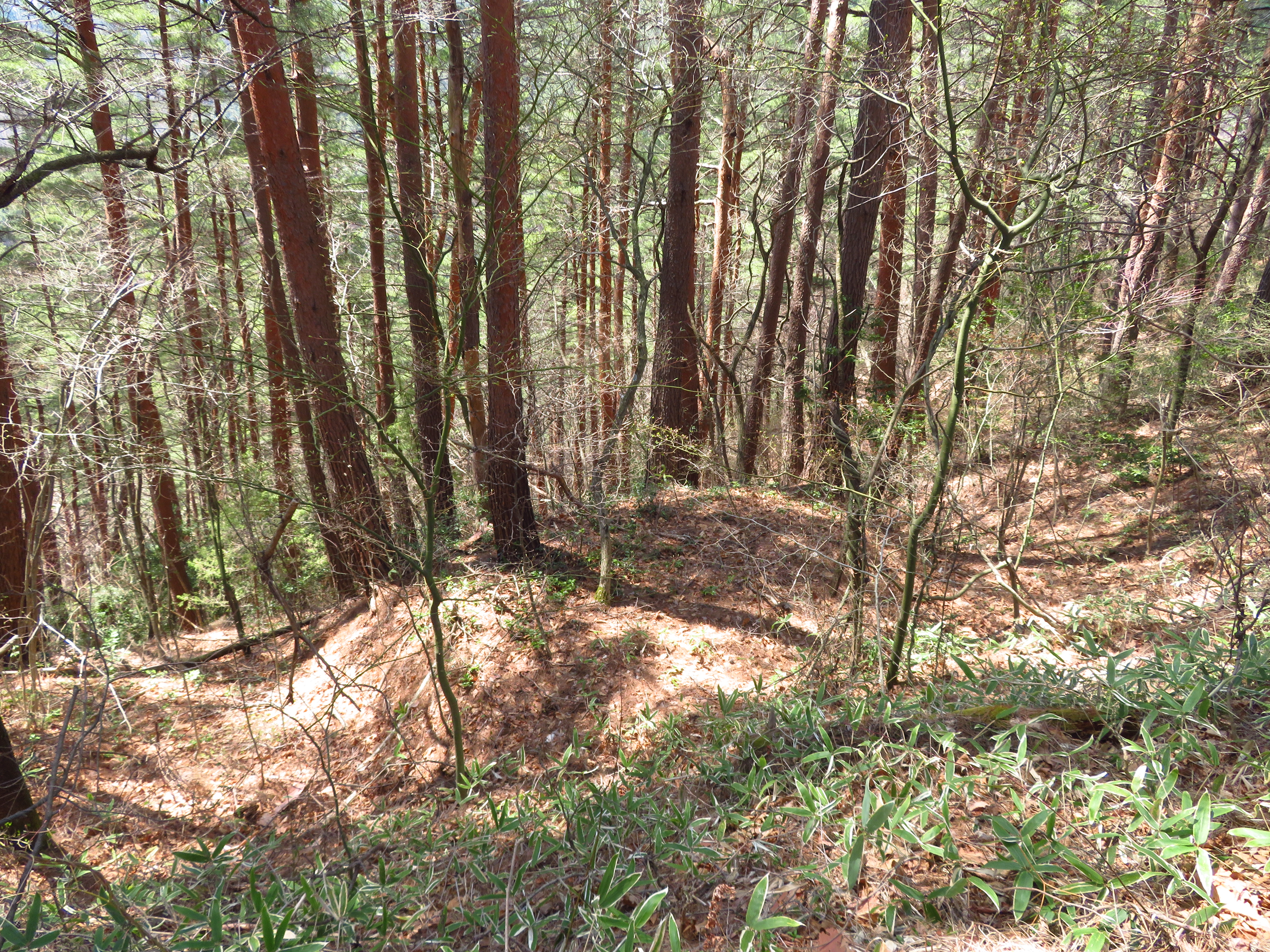
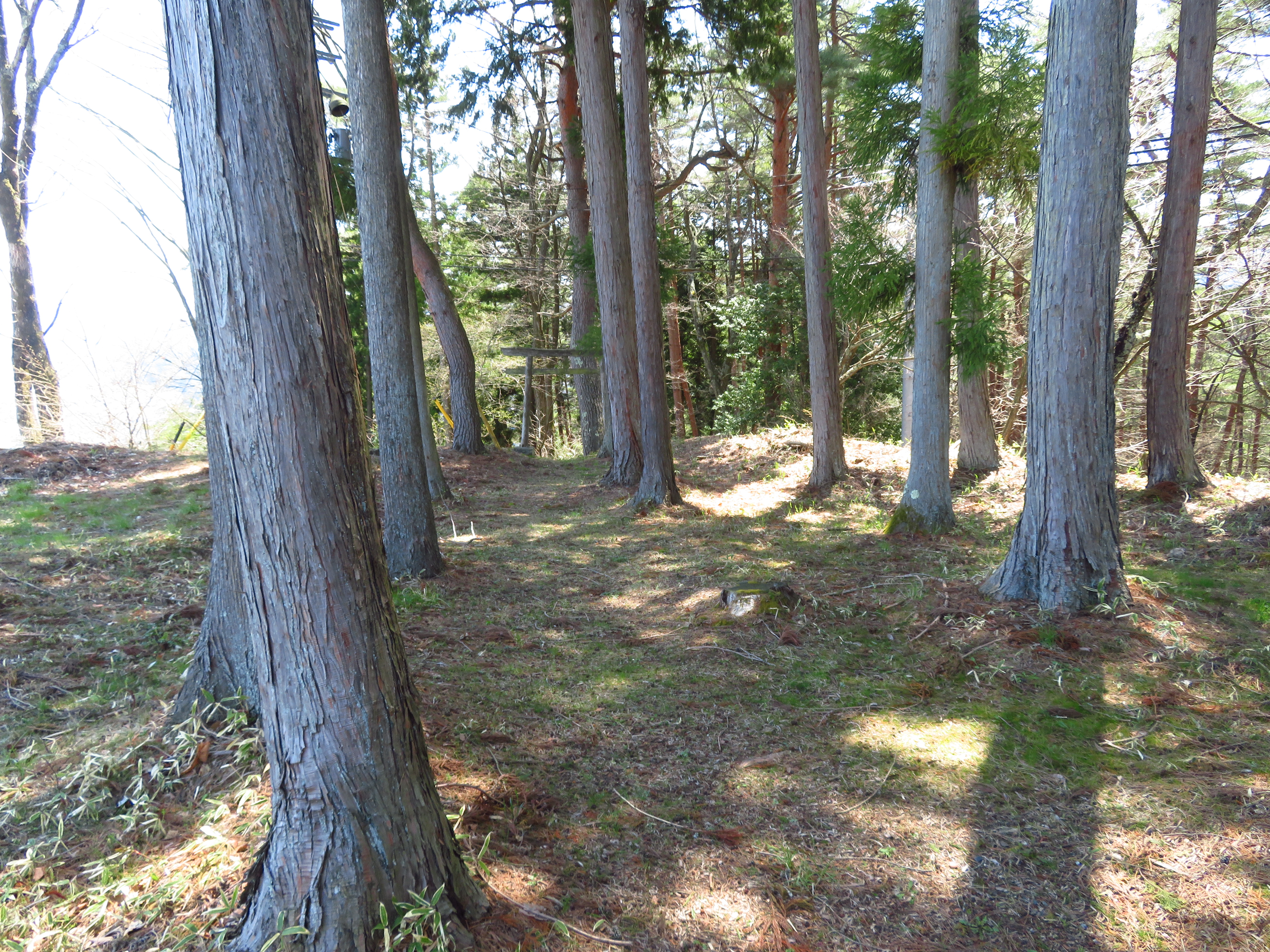
Uenojō is a yamajiro (mountain castle) ruin on the outskirts of Shiojiri Municapility, near to the end of the valley encompassing Matsumoto at the point where the Suwa District starts - I mean to say it was a strategic area. Ruins consist of a shukuruwa (main bailey) surrounded by remnants of trenches. The main bailey is now the site of a shrine and a communications array. I affected a short but steep climb to the site from Saifukuji, a temple at the foot of the castle mount.
There was an information board about the castle in the main bailey but it was heavily faded. Luckily someone has transcribed the text onto their blog page and I was able to find that online. The sign says there is a second bailey in addition to the first, but I couldn't find that; perhaps it is where the forestry road is today? I did identify a koshikuruwa (sub-bailey) skirting beneath the main bailey, however.


.JPG)
.JPG)
.JPG)
.JPG)
.JPG)
.JPG)
.JPG)
.JPG)
.JPG)
.JPG)
.JPG)
.JPG)
.JPG)
.JPG)
.JPG)
| Castle Profile | |
|---|---|
| English Name | Uenoyama Castle (Chikuma) |
| Japanese Name | 筑摩上野山城 |
| Founder | Ogasawara Clan |
| Year Founded | Sengoku Period |
| Castle Type | Mountaintop |
| Castle Condition | Ruins only |
| Historical Period | Pre Edo Period |
| Artifacts | Kuruwa, Horikiri, Tatebori, Koshikuruwa, Daikan |
| Features | trenches |
| Visitor Information | |
| Access | Shiojiri Station on the Chuo Main Line; 25 minute walk to Saifukuji Temple |
| Visitor Information | 24/7 free; mountain / shrine |
| Time Required | 30 minutes |
| Location | Shiojiri, Nagano Prefecture |
| Coordinates | 36° 6' 6.08" N, 137° 57' 39.71" E |
|
|
|
| Admin | |
| Added to Jcastle | 2020 |
| Contributor | ART |
| Admin Year Visited | Viewer Contributed |


Enable comment auto-refresher