.JPG)
History
There is an oral tradition that Yagurajō was built by Ôkura Sadomori of the Hattori Clan of Iga in the Kamakura period, but the remains of the castle that we see today are clearly that of a Sengoku period fort. It is more likely that Yagurajō was built by the Aoyagi Clan as a branch fortification of Aoyagijō. Yagurajō protect's the rear of Aoyagijō by guarding a mountain ridge that leads to it.
Visit Notes
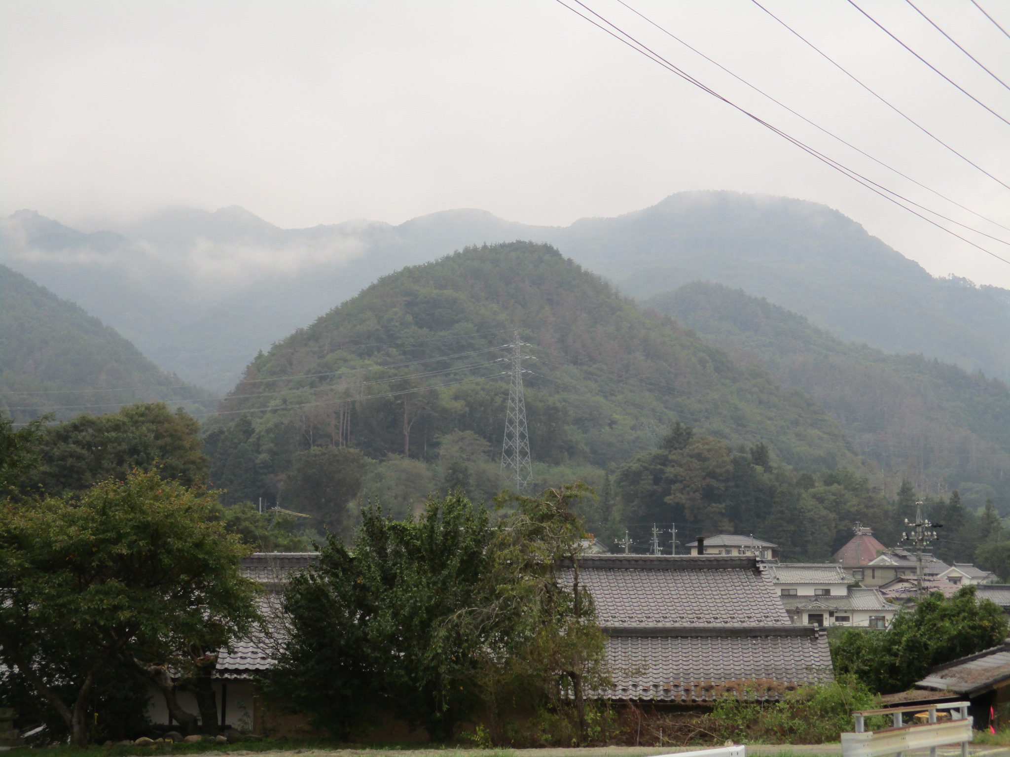
Yagurajō can be found atop of a 120m tall hill overlooking the hamlet of Yagura beneath the Murosawa Dam. It is a small but accessible yamajiro earthworks ruin with a narrow profile. The hiking trail is well maintained as a long set of stairs, and there is a sign at the bottom. This will be easy, I thought, seeing this, but it looks like the site, though generally maintained, does not get many visitors, and consequently in order to reach the castle I had to battle my way through a dozen spider webs which blocked the path (I employed a branch with leaves on).
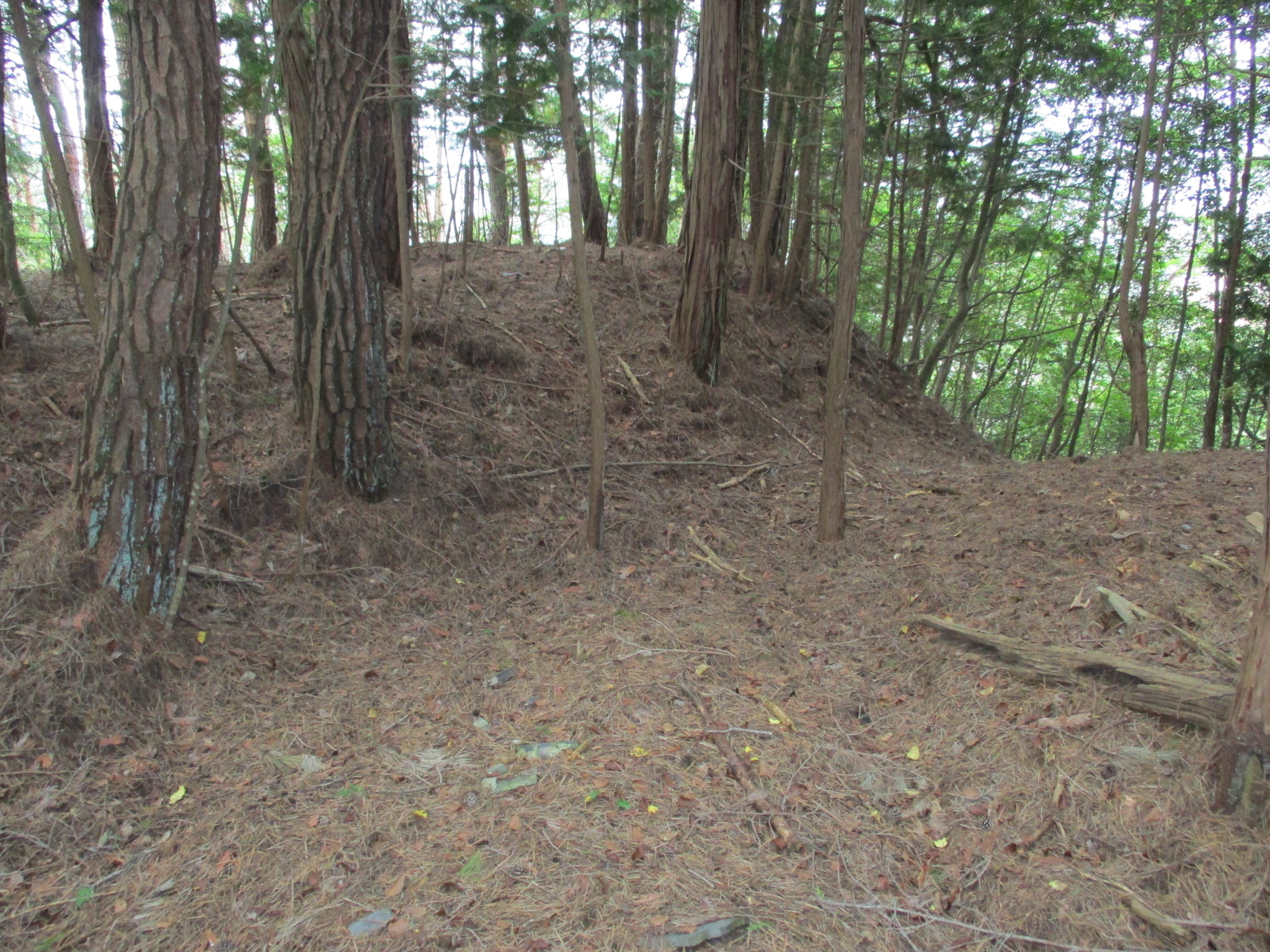
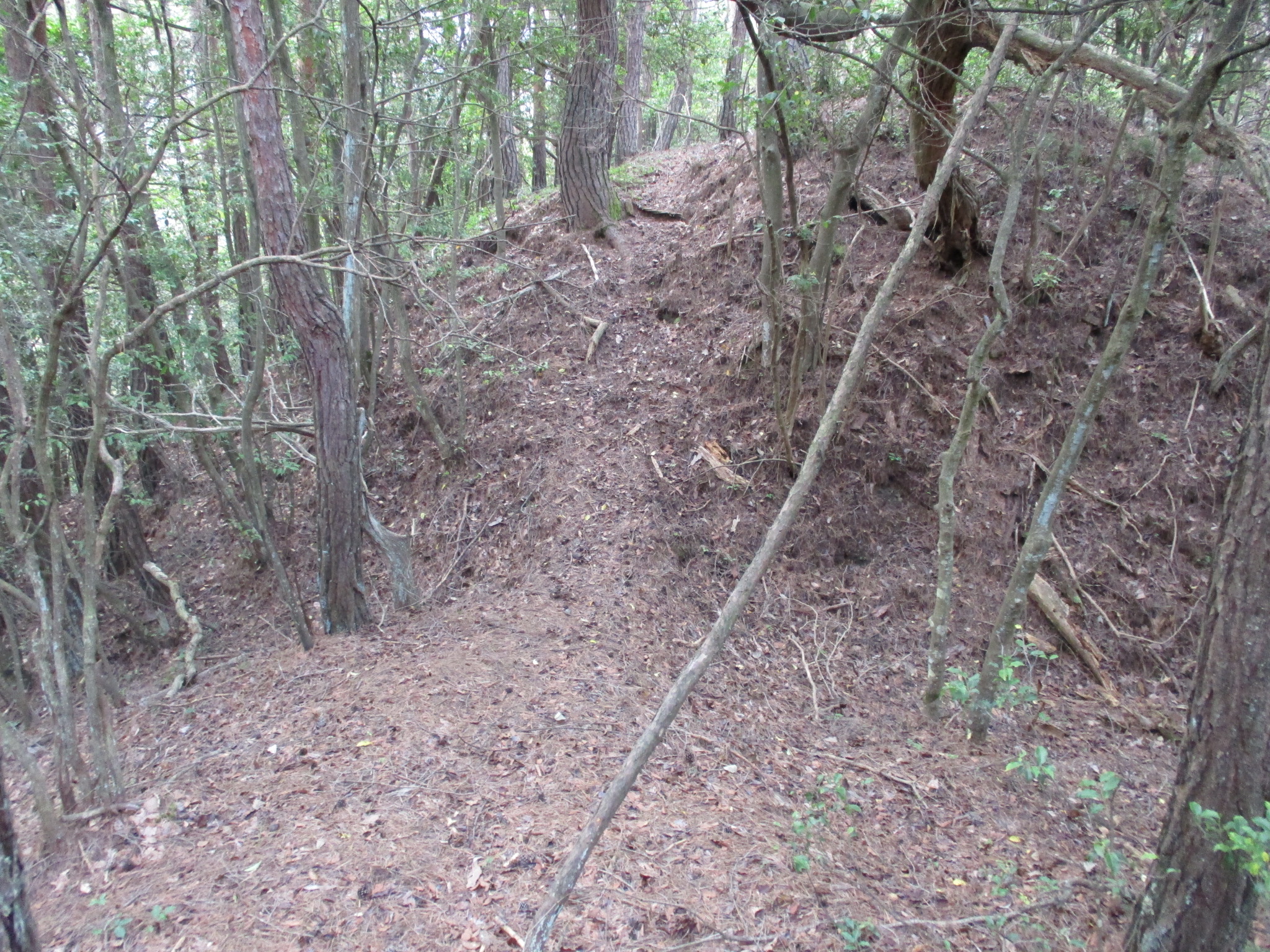
The castle is made up of baileys along the ridge. The two principal baileys are separated by a trench. The trench is higher on the main bailey's side. The main bailey also has a large platform at the rear which may have been used to site a watch tower. Beneath this berm is a deep trench. Several more trenches can be found along the ridge to the mountainward rear of the castle. Yagurajō further features terraced areas, some minor baileys, earthen bridges and climbing trenches which streak down the hillside. It's pretty much a standard example of a Sengoku period fort.

.JPG)
.JPG)
.JPG)
| Castle Profile | |
|---|---|
| English Name | Yagura Castle (Chikuma) |
| Japanese Name | 筑摩矢倉城 |
| Founder | Ôkura Sadomori; Aoyagi Clan |
| Year Founded | Kamakura Period; Sengoku Period |
| Castle Type | Mountaintop |
| Castle Condition | Ruins only |
| Historical Period | Pre Edo Period |
| Features | trenches |
| Visitor Information | |
| Access | Hijirikōgen Station on the Shinonoi Line; 20 minute walk to trailhead |
| Visitor Information | 24/7 free; mountain |
| Time Required | 40 minutes |
| Location | Omi, Nagano Prefecture |
| Coordinates | 36° 26' 39.88" N, 138° 2' 33.32" E |
|
|
|
| Admin | |
| Added to Jcastle | 2021 |
| Contributor | ART |
| Admin Year Visited | Viewer Contributed |
| Friends of JCastle | |
| Ranmaru | |
| Yogo | |


Enable comment auto-refresher