.JPG)
History
Following the dissolution of Kōfu Domain, all of Kai was placed under Shogunal control in 1724. The province was split into three tenryō (Shogunate-controlled territories), their authorities based respectively at Ichikawa-daikansho, Ishiwa-daikansho and Kōfu-daikansho. Territory overseen by the Kōfu-daikansho changed over time but generally included Yamanashi District (where the modern prefecture gets its name) and parts of Koma District (shared also by Ichikawa-daikansho (see Ichikawa Jin'ya)). Major historical events include the Tenpō Disturbances of 1836, which started in Yamanashi and soon enveloped all of Kai. Kōfu-daikansho was abolished in 1868. Whilst Kōfujō was maintained throughout most of the period of the tenryō's existence, the actual affairs of state were carried out at Kōfu-daikansho.
Visit Notes
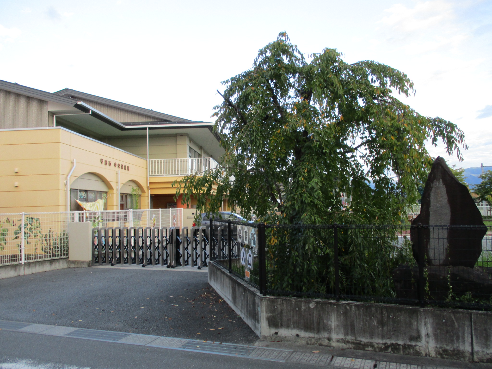
I was surprised to find out that there was a jin'ya site here so close to Kōfujō. The site is often called Chōzenjimae-jin'ya owing to its location near to the temple Chōzen'ankokuji. Though nothing remains, the site, formally known as the Kōfu-daikansho, has its own wikipedia article. It seems that for much of the Edo Period actual control over the domain was exerted from here. There is some definitional overlap between "jin'ya" and "daikansho", and Kōfu-daikansho was also called Kōfu-jin'ya. Daikansho refers to the base of a hatamoto, or bannerman of the Shōgun, usually acting as a Daikan, ruling in place of the Shōgun as his direct representative. Jin'ya has a broader meaning in that it can refer to non-Shogunal holdings too (id est, discontiguous territories of daimyō, &c.). In 1872 the site became Fujikawa Primary School; this closed its doors in 2011, and now the site is that of a nursery and a community centre.
| Castle Profile | |
|---|---|
| English Name | Chouzenjimae Jin'ya |
| Japanese Name | 長禅寺前陣屋 |
| Alternate Names | Kōfu-daikansho / Kōfu-jin'ya 甲府代官所・甲府陣屋 |
| Founder | The Shogunate |
| Year Founded | 1724 |
| Castle Type | Flatland |
| Castle Condition | Ruins only |
| Historical Period | Pre Edo Period |
| Features | |
| Visitor Information | |
| Access | Kōfu Station on the Chūō East Line; 10 minute walk |
| Visitor Information | Public Facilities |
| Time Required | 2 minutes |
| Website | https://ja.wikipedia.org/wiki/%E7%94%B2%E5%BA%9C%E4%BB%A3%E5%AE%98%E6%89%80 |
| Location | Koufu, Yamanashi Prefecture |
| Coordinates | 35° 39' 49.07" N, 138° 34' 32.09" E |
|
|
|
| Admin | |
| Added to Jcastle | 2021 |
| Contributor | ART |
| Admin Year Visited | Viewer Contributed |


Enable comment auto-refresher