Fubukikaito Castle (Ina)
.JPG)
History
Fubukikaitojō was part of the Koide Clan network of fortifications. Particularly it was the most northerly of a trio of forts protecting the south of the Koide's main base at Ina-Koidejō. See Ina Koide Castle for more information.
Visit Notes
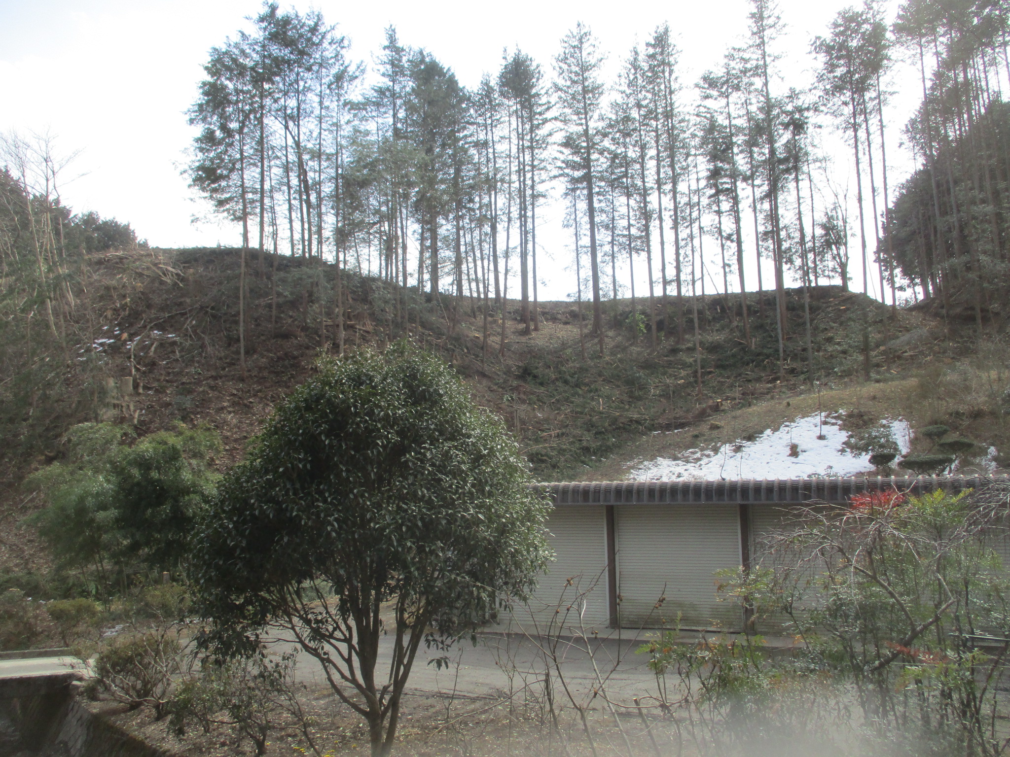
Two creeks eat into the plateau and it's tempting to assign these the status of tatebori (climbing moats), but I'm not convinced. One is fairly large and looks natural. The other looked like a trench which was cleared of trees, which I thought was a boon at first but it seems that it's being deliberately widened to create some sort of path up the cliffside. If a moat was extended between these two depressions then it would portion off a space which could've formed the castle's second bailey. From the natural creek it is thought a trench extended to enclose the very tip of the cliff-peninsula, forming the fort's main bailey. This part, now a cedar grove, does feel like a castle bailey because of its steeply carved ramparts (kirigishi).


.JPG)
.JPG)
.JPG)
| Castle Profile | |
|---|---|
| English Name | Fubukikaito Castle (Ina) |
| Japanese Name | 小出フブキ外垣城 |
| Alternate Names | 小井弓フブキ外垣城 |
| Founder | Koide Clan |
| Year Founded | Medieval Era |
| Castle Type | Hilltop |
| Castle Condition | Ruins only |
| Historical Period | Pre Edo Period |
| Artifacts | Kuruwa, Tatebori |
| Features | trenches |
| Visitor Information | |
| Access | Shimojima Station on the Iida Line; 5 minute walk to trail |
| Visitor Information | 24/7 free; fields / forest |
| Time Required | 20 minutes |
| Location | Ina, Nagano Prefecture |
| Coordinates | 35° 48' 59.36" N, 137° 56' 22.60" E |
|
|
|
| Admin | |
| Added to Jcastle | 2022 |
| Contributor | ART |
| Admin Year Visited | Viewer Contributed |
| Friends of JCastle | |
| Yogo | |


Enable comment auto-refresher