Hikida Castle
.JPG)
History
Hikidajō was constructed by the Asakura Clan in 1570 in preparation for Oda Nobunaga's renewed invasion of Echizen. Tsugano Kagenao commanded a garrison there. Formerly the castle site had been a fort of the Hikida Clan built circa 1470 by Hikida Kubo, but that initial fort had been destroyed by Oda's forces before the betrayal of the Azai Clan (see Odani Castle) had forced him to retreat from Echizen in the spring of 1570. The site is strategically located near mountain passes between Echizen and Ōmi; an ancient fortification called the Arachi Barrier is also thought to have been located here. After the Asakura were defeated at the Battle of Tonezaka in 1573, they retreated to their main base at Ichijodani Castle, surrendering Hikidajō. The castellan at that time is said to have been Hikida Saburō, and he was killed at Tonezaka. It is not known whether Hikidajō was destroyed at this time or put to use by Oda forces.
Visit Notes
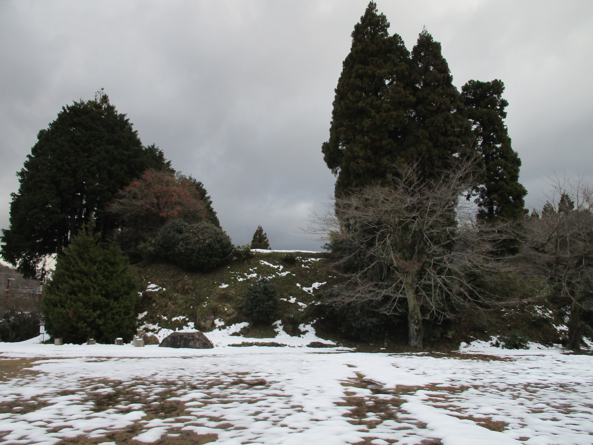
Owing to my 'Imp of the Perverse', instead of going somewhere for winter break with less snow like Ôsaka as I had originally planned, I went to Fukui! Perhaps I wanted to trapse about in deep snow after all. Well, after mostly avoiding the white stuff at sites near the coast, I finally had more than enough snow to slog through at Hikidajō. Hikidajō is on a small hill / plateau slope in a mountainous valley, so, being close to 'New Hikida Station', it wasn't difficult to get to, just to navigate. Nonetheless, the most impressive features of this site were fully visible.
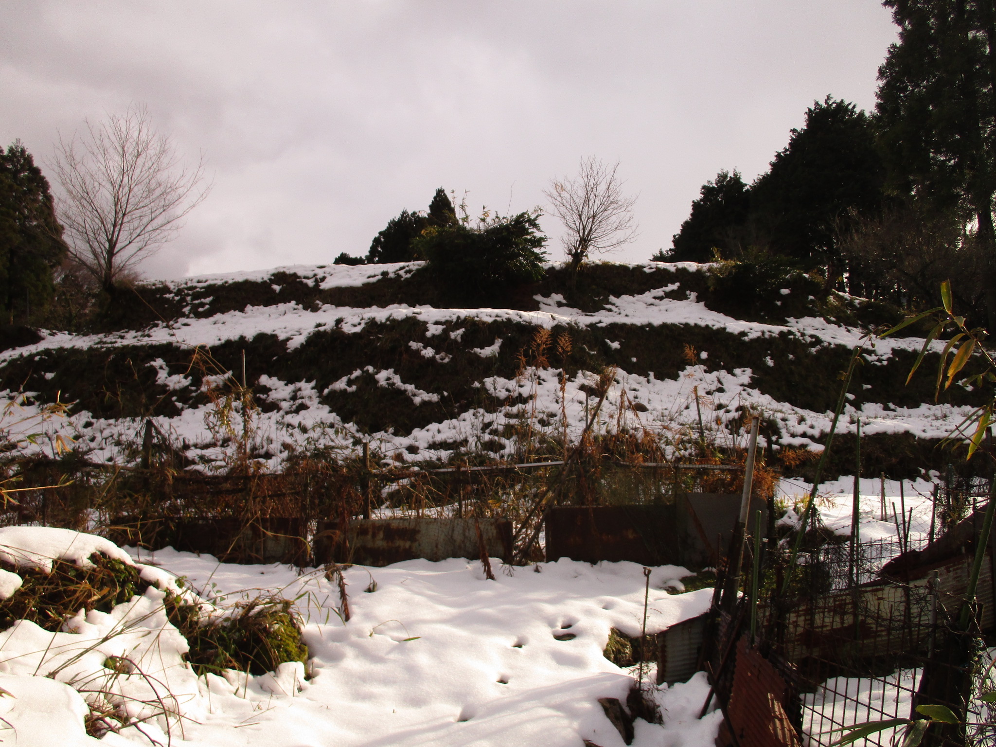
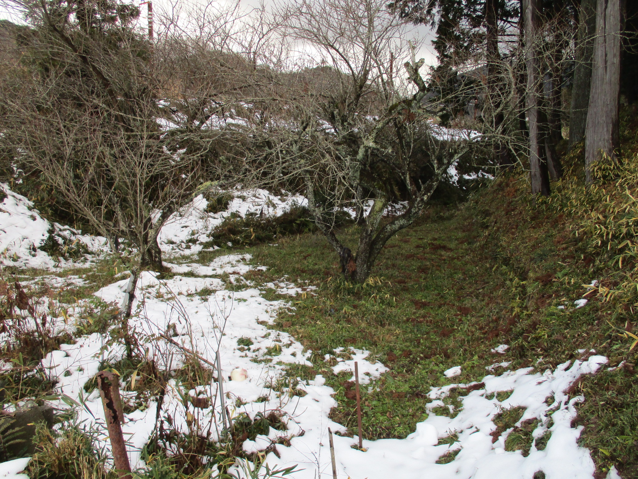
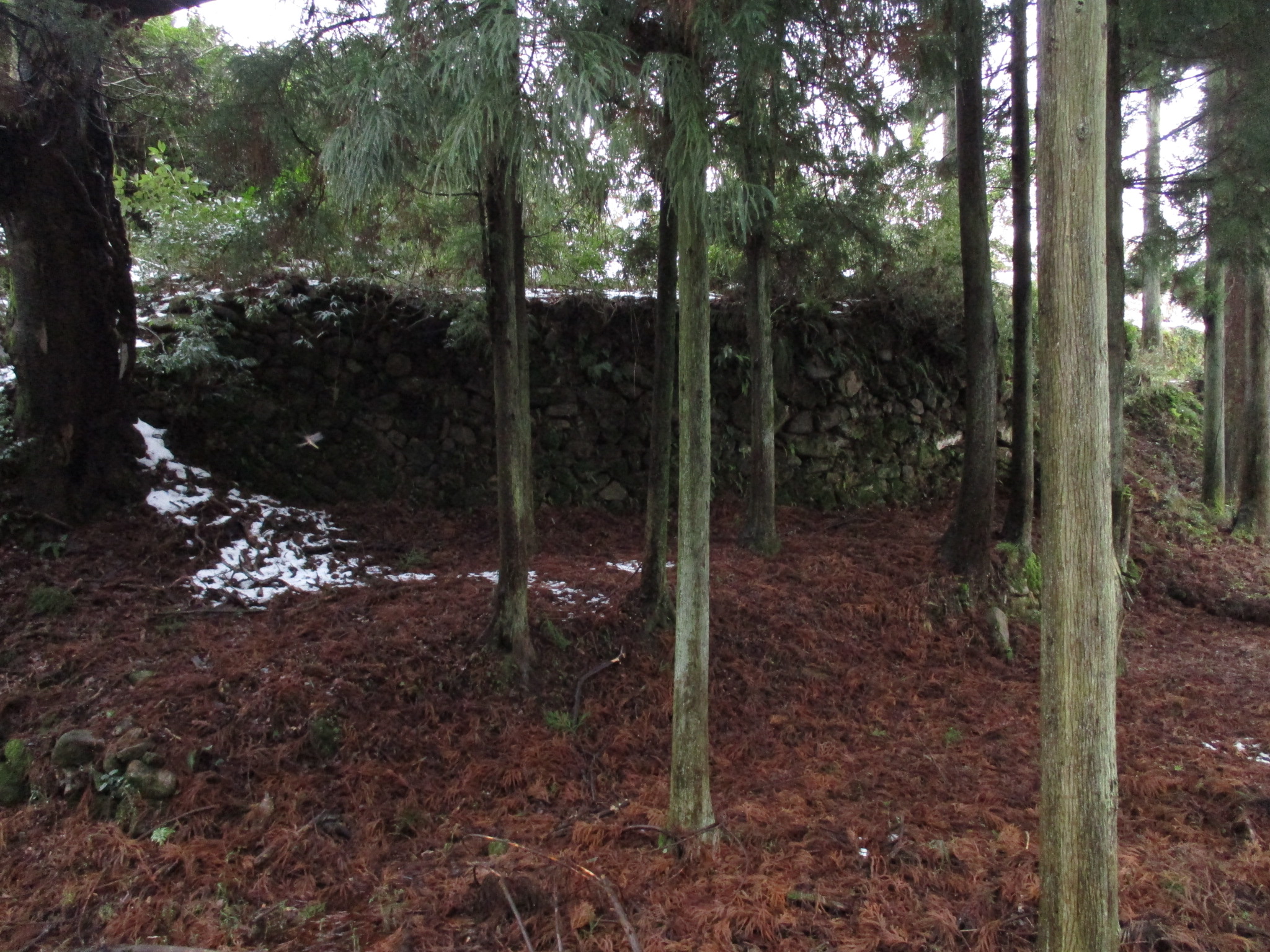
Features include karabori (dry moats), kuruwa (baileys), terracing, a tenshudai (platform for a donjon) and ishigaki (stone-piled ramparts). Whilst some of the smaller stacked ishigaki may not date to the time of the castle, much older-looking ishigaki remains around the eastern moat. The site is not a park but is used for agricultural plots and allotments. The main bailey complex is bounded by a karabori on three sides, and probably originally on a fourth to the south, though that was subsequently levelled and filled-in for the construction of a school, itself now also demolished. The western karabori continues on to encompass much of the hill, but it is overgrown in the north where it flanks the second bailey grouping and a potential third bailey which is now the site of a shrine. Because of snow depth I limited my explorations to the first and second bailey complexes. It is thought that the former site of the school constituted additional baileys but now no ruins remain there.
Between the second and first baileys there is an open expanse which is connected to the western karabori. It is accessed via a very narrow passageway between terraces lined with stone. There is also a deep well before it which I'm glad I didn't fall in. It's hard to tell if these are ruins of the castle or where reworked when the castle site was put to plough in subsequent centuries. If it was part of the castle then a short bridge was likely laid over the top to connect the upper parts of the first and second bailey, and there would be enough room to crawl below, but given that the gap is only very narrow, I think probably this was originally a solid earthen bridge area, but that it was dug through and lined with stones by farmers looking for easy access to the flat moat area on the other side.
The castle is alternatively called Hikidajō and Hikitajō (I wonder which it is the locals use!). The village is called Hikida. The kanji used also varies, with 壇, usually read 'dan', also used for the castle name.


.JPG)
.JPG)
.JPG)
.JPG)
.JPG)
.JPG)
.JPG)
| Castle Profile | |
|---|---|
| English Name | Hikida Castle |
| Japanese Name | 疋田城 |
| Alternate Names | 疋壇城 |
| Founder | Asakura Clan |
| Year Founded | 1570 |
| Castle Type | Mountaintop |
| Castle Condition | Ruins only |
| Designations | Prefectural Historic Site |
| Historical Period | Pre Edo Period |
| Artifacts | Tenshudai, Karabori, Ishigaki, Kuruwa |
| Features | water moats, trenches, stone walls |
| Visitor Information | |
| Access | Shin-Hikida Station on the Hokuriku Main Line; 10 minute walk |
| Visitor Information | 24/7 free; fields |
| Time Required | 40 minutes |
| Location | Tsuruga, Fukui Prefecture |
| Coordinates | 35° 35' 59.60" N, 136° 6' 0.47" E |
|
|
|
| Admin | |
| Added to Jcastle | 2023 |
| Contributor | ART |
| Admin Year Visited | Viewer Contributed |
| Friends of JCastle | |
| Jōkaku Hōrōki | |
| Shiro Meguri | |
| Kojō Seisuiki | |
| Chiezoshiro | |
| Yogo | |


Enable comment auto-refresher