History
Nagayamajō was one of the many castles along the Tôyama River built and controlled by the Tôyama Clan (named for the area). It was considered important and built on defensible terrain, guarding a vital route into the valley where the clan's main villages clustered. It is thought that Nagayamajō was built by Tôyama Kagehiro in the Sengoku Period, and that it was the clan's main castle before Wadajō, which was built closer to the settled areas. In 1573, according to local legend, Takeda Shingen passed by the castle to conduct Shūgyō practice at a nearby waterfall. The Tôyama Clan were vassals of the Takeda Clan at this time, though they joined with the Tokugawa Clan later. In the Edo Period it is said that the castle became the residence of the Kita-Tôyama Clan for a time.
Visit Notes
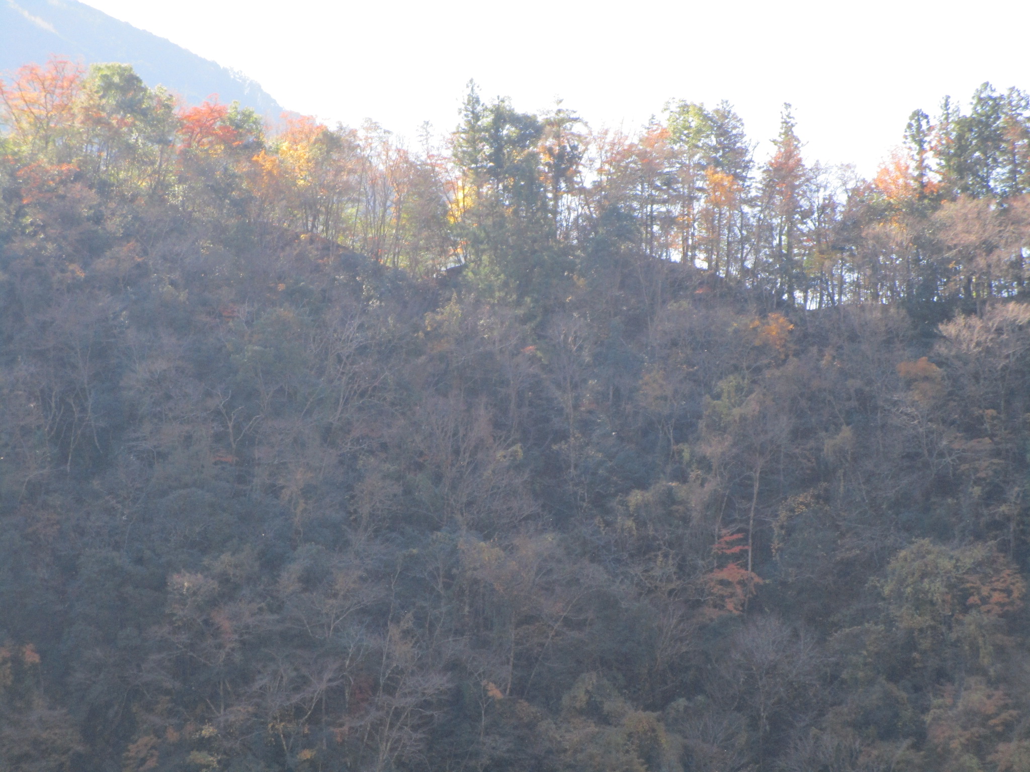
Nagayamajō has a simple layout of baileys separated by trenches built on a small mountain (100m high) ridge projecting into a bend of the Tôyama River. Going past a small shrine building one comes to a large, deep trench. This protects the widest bailey, the honmaru (main bailey), and contains a marker post for the castle. Beyond the honmaru's slopes - which contain some traces of a stone wall - is a flattened area. From here the ridge narrows. There is a minor bailey along here with obvious trenches cut into ridge either side. The castle ruin ends in a cleared space called the monomidai (viewing platform) overlooking the river which bends around the castle-mount on three sides. The castle's trenchwork can be clearly seen when viewing the mountain from below. The castle is opposite a renowned waterfall which Takeda Shingen is said to have visited to perform Shūgyō (ascetic practice). Because I visited here I was able to quickly check out Nagaymajō.
| Castle Profile | |
|---|---|
| English Name | Nagayama Castle (Ina) |
| Japanese Name | 伊那長山城 |
| Founder | Tôyama Kagehiro |
| Year Founded | Sengoku Period |
| Castle Type | Mountaintop |
| Castle Condition | Ruins only |
| Historical Period | Pre Edo Period |
| Artifacts | Kuruwa, Horikiri, Monomidai, Ishigaki |
| Features | trenches, stone walls |
| Visitor Information | |
| Access | Hiraoka Station on the Iida Line; 15 minute DRIVE |
| Visitor Information | Free; 24/7; Mountain |
| Time Required | 20 minutes |
| Location | Iida, Nagano Prefecture |
| Coordinates | 35° 18' 24.16" N, 137° 54' 20.63" E |
|
|
|
| Admin | |
| Added to Jcastle | 2020 |
| Contributor | ART |
| Admin Year Visited | Viewer Contributed |


Enable comment auto-refresher