Komaruyama Castle (Kiso)

History
Komaruyama Castle was built by Kiso Oyatoyo in the 15th century and was the stronghold of the Kiso Clan before Kiso Yoshiari relocated to nearby Uenodan Castle in the 16th century. In 1555 Takeda Shingen invaded Kiso. Kiso Yoshimasa fortified Komaruyamajō and prepared to defend from there. Meanwhile Kiso Yoshiyasu, Yoshimasa's father, fortified and held Uenodanjō. However, the Kiso eventually surrendered to Takeda. Takeda wedded his daughter, Mari, to Yoshimasa, and Komaruyamajō became a major stronghold in the defence of Kiso and in Takeda's campaigns in the provinces of Mino and Hida. A castle town developed at the foot of the castle-mount along with bukeyashiki (homes of samurai retainers), and this was the genesis of the commercial development of the valley and the ultimate establishment of the Fukushima-juku, a major post town along the Nakasendō highway.
Visit Notes
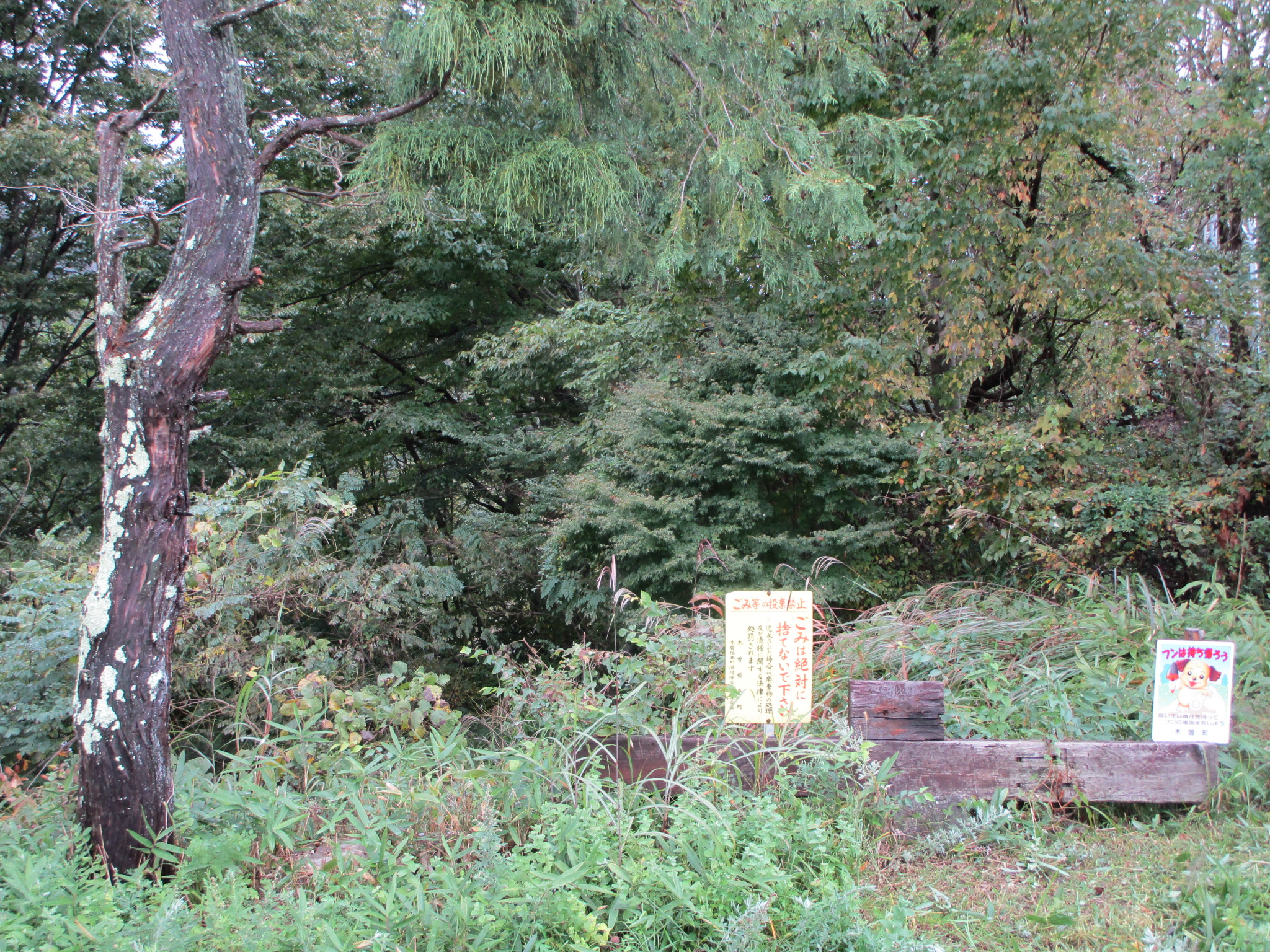
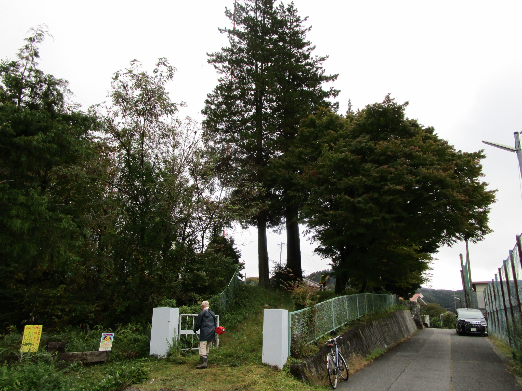
I came to the site of Kiso-Komaruyamajō as part of a tour of sites in the area. Unfortunately there is not much to see here. The site of the honmaru (main bailey) is now an NHK radio mast, and the site of the ninomaru (second bailey) is now that of the town's high school. Both are off-limits to the general public. The honmaru is situated above the ninomaru on a rise. It seems the ninomaru was larger than the honmaru and wrapped partially around it, a layout called teikaku-shiki (ladder formation). The other side of the honmaru is steep natural elevation, which nowadays has the railroad at the bottom. When I came there were men working to cut back the grass around the radio mast. I thought there might be some climbing trenches at the sides of the honmaru but I couldn't get a close look. From here I proceeded on to Uenodanjō.


| Castle Profile | |
|---|---|
| English Name | Komaruyama Castle (Kiso) |
| Japanese Name | 木曽小丸山城 |
| Founder | Kiso Oyatoyo |
| Year Founded | 15th Century |
| Castle Type | Mountaintop |
| Castle Condition | Ruins only |
| Historical Period | Pre Edo Period |
| Artifacts | Kuruwa |
| Features | |
| Visitor Information | |
| Access | Kiso-Fukushima Station on the Chūō Line; 5 minute walk |
| Visitor Information | Free; 24/7; access restricted |
| Time Required | 10 minutes |
| Location | Kiso, Nagano Prefecture |
| Coordinates | 35° 50' 48.26" N, 137° 41' 46.57" E |
|
|
|
| Admin | |
| Added to Jcastle | 2020 |
| Contributor | ART |
| Admin Year Visited | Viewer Contributed |


Enable comment auto-refresher