Nakayama Fort

History
Visit Notes
Whilst taking a break from serious castling, I used my spare time here and there this summer to visit a host of very minor sites in my locality. This included a complex of fortifications built upon Nakayama. The most significant remains of these are the Nakayama-toride, of which some vestiges of earthworks remain, though are much deformed now with time. Adjacent to this fort was a signal beacon and look-out tower known as Kuwagatahara-noroshidai. This is set on the peak of Nakayama but there is nothing left except a small trench trace. Lastly there is the Nakayama "Second Peak" Fort, or Nakayama B Site, located much further along the mountain than the other two sites.
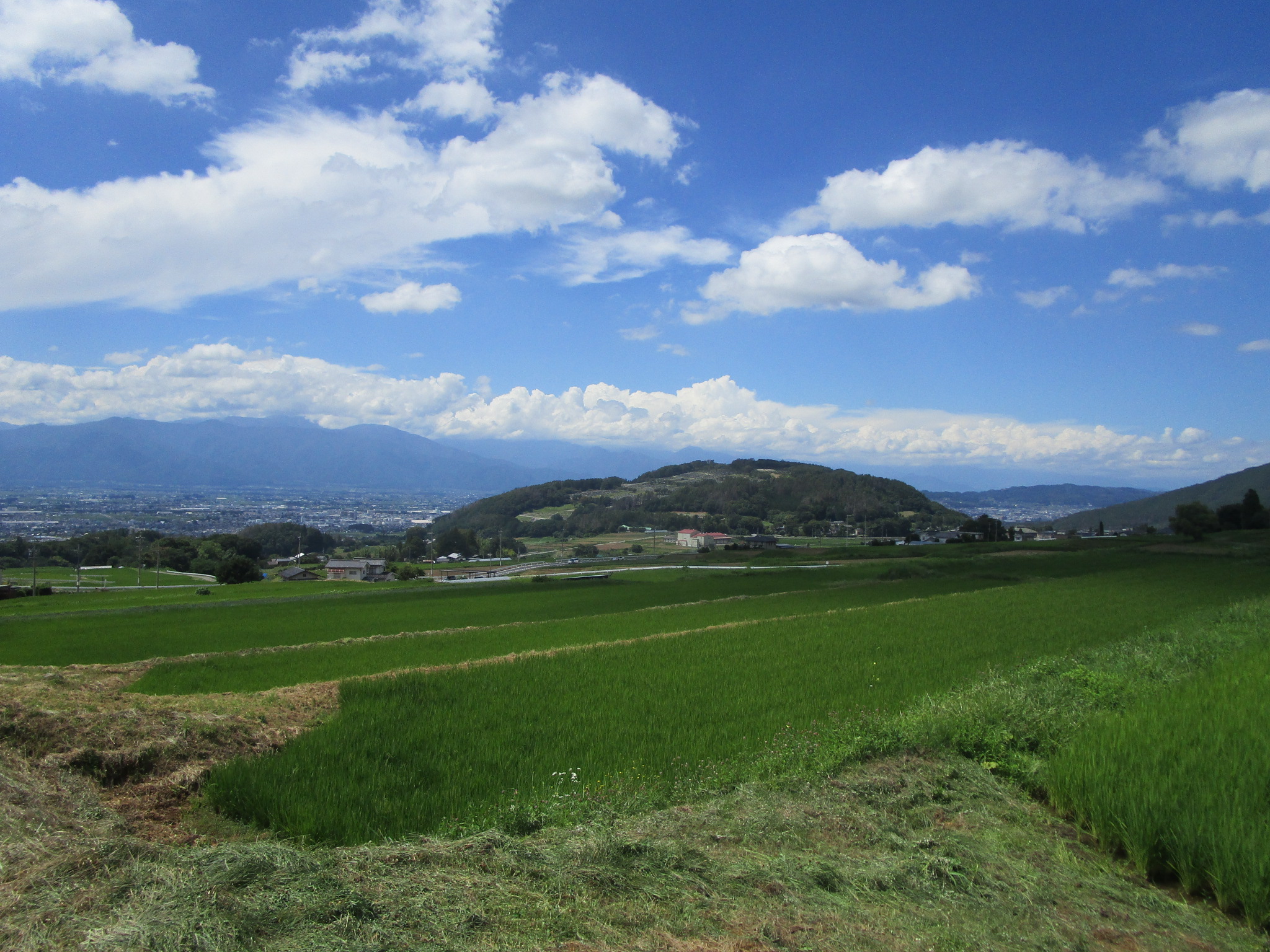
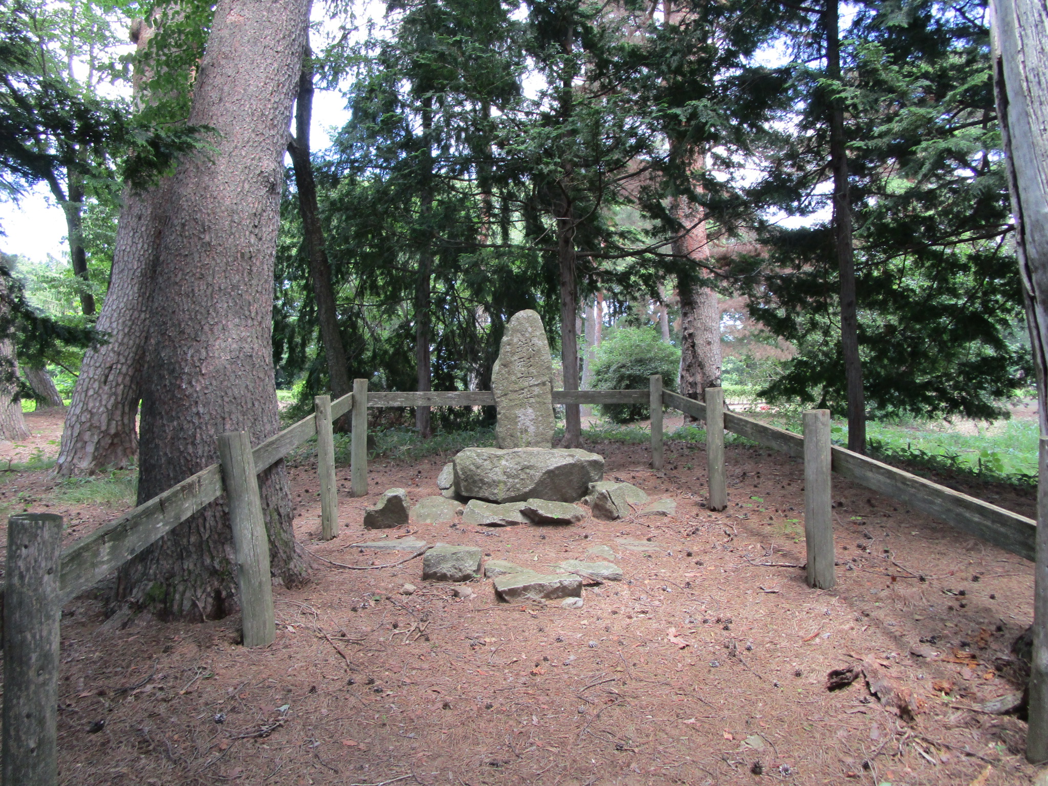
Nakayama is an island of elevation detached from the mountain chains which hem in the Matsumoto Plain. Today its southern end, up to the peak, has been developed as a vast cemetery. At the top of the cemetery is the site of the Nakayama-toride. A toride is merely a small fort. Not much remains because of the development of the mount, and a mallet golf course surrounds the ruins of this fortification. The most tangible ruins are in the forms of earthworks. We can make out a square-like accumulation of earth which formed the fort's principal bailey. A small shrine is located here now. Surrounding fortifications, such as any moats, have been destroyed to make way for the mallet golf course and other facilities. Surveying and archaelogical research carried out at around the time of the mountain side's development in 2004 identified the remains of various trenches around the fort.


| Castle Profile | |
|---|---|
| English Name | Nakayama Fort |
| Japanese Name | 中山砦 |
| Founder | Ogasawara Clan or Takeda Clan |
| Year Founded | Sengoku Period |
| Castle Type | Mountaintop |
| Castle Condition | Ruins only |
| Historical Period | Pre Edo Period |
| Artifacts | Dorui, Kuruwa |
| Features | |
| Visitor Information | |
| Access | Nearest station is Minami-Matsumoto Station on the Chūō Main Line / Shinonoi Line; hiking from Kobōyama-kofun Park is best (parking available) |
| Visitor Information | 24/7; Free; Cemetery |
| Time Required | 20 minutes |
| Location | Matsumoto, Nagano Prefecture |
| Coordinates | 36° 11' 49.63" N, 137° 59' 30.01" E |
|
|
|
| Admin | |
| Added to Jcastle | 2021 |
| Contributor | ART |
| Admin Year Visited | Viewer Contributed |


Enable comment auto-refresher