.JPG)
History
See Shioda Castle.
Visit Notes
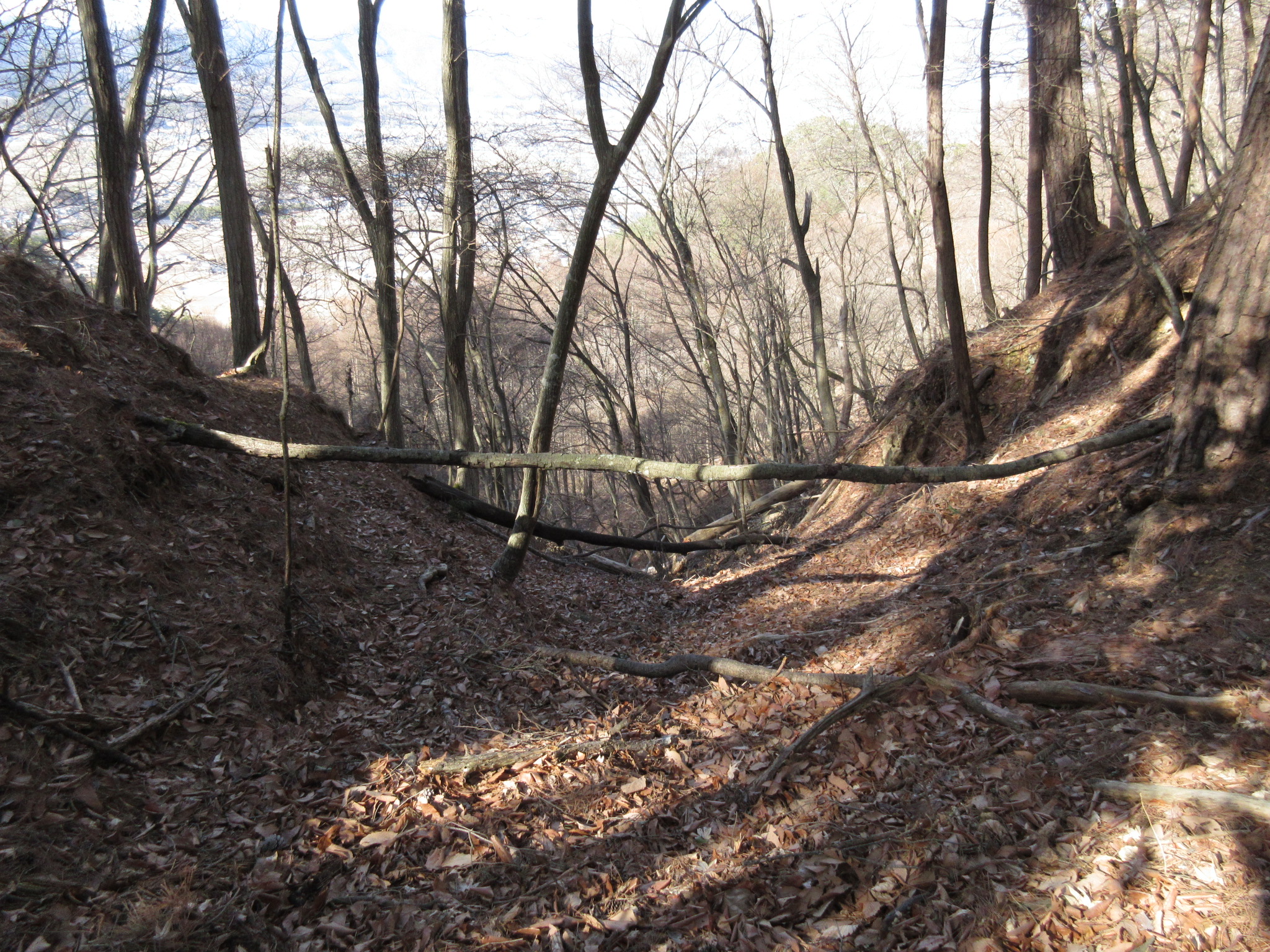
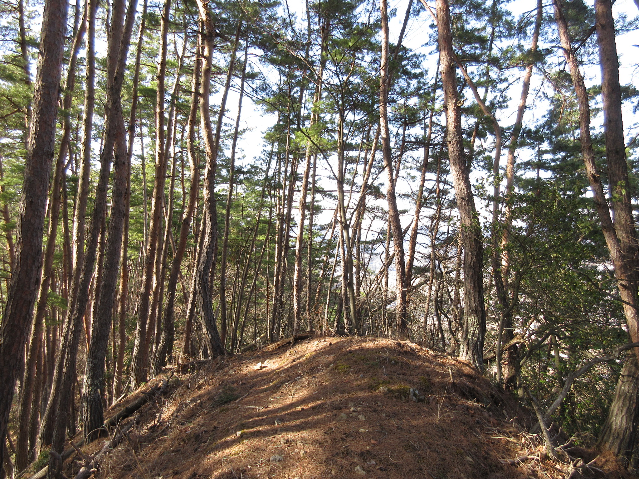
The term bōrui (保塁・防塁), meaning 'bulwark', refers to an earthwork forming a small fortified bailey or look-out. The Kōbōyama-toride has many such bulwarks, but from its westernmost there is a steep area made up of vertical, near-vertical and overhanging rocks - a cliff - and at the bottom of here begins another ridge which eventually wraps around to encompass the valley which neighbours the valley of the Shiodajō Lower Castle. Along this ridge there are at least six bōrui, collectively known as the Nishibōrui-gun (Western Forts Grouping). The first bōrui is actually quite distant to the second, being just below the aforementioned cliff I had to climb down to the reach the ridge, and half way between them there appears to be an unexpectedly large tatebori. I think this is the largest tatebori outside of the Lower Castle, which makes me wonder if it was dug after the sculpting of the Upper Castle, or somehow carved by nature - though it does look very trench-like. Each bōrui is on a small peak. It's hard to tell but there is some evidence of earthworks such as trenches and carved slopes between. The sixth bōrui is the lowest and nearest the terminus in the ridge. To climb up to this point one can come via a gentle path which leads to the 'moon-viewing hall' built in the Meiji period as a place to compose haiku. Today in this gazebo there is a schoolroom desk with a drawer with notepads and pens there. Most people just leave messages rather than writing haiku, and so I wrote one on a back leaf, signed Adam Turner of Birkenhead, proclaiming my conquest of the entirety of Shiodajō. My odyssey was at this point largely over, and I took a moment to gather my thoughts and rest myself, seated in seiza at the writing desk.
The safe way to visit the Shiodajō-Nishibōrui-gun is to ascend via the Kanźukidō and go back down again. Climbing up or down the cliff between the two ridges carries with it 'no guarantee of life', and is very dangerous. Did they use ropes and ladders back in the castle's day? Shiodajō is truly an amazing site. It took me over six hours to cover it all.


.JPG)
.JPG)
.JPG)
| Castle Profile | |
|---|---|
| English Name | Shiodajou Nishibouruigun |
| Japanese Name | 塩田城西保塁郡 |
| Alternate Names | Western Forts Grouping |
| Founder | Hōjō Yoshimasa |
| Year Founded | 1277 |
| Castle Type | Mountaintop |
| Castle Condition | Ruins only |
| Designations | Prefectural Historic Site |
| Historical Period | Pre Edo Period |
| Artifacts | Kuruwa, Tatebori |
| Features | trenches |
| Visitor Information | |
| Access | Shiodamachi Station on the Besshō Line; 35 minute walk to trail head |
| Visitor Information | 24/7 free; mountain |
| Time Required | 30 minutes |
| Location | Ueda, Nagano Prefecture |
| Coordinates | 36° 20' 12.23" N, 138° 11' 25.15" E |
|
|
|
| Admin | |
| Added to Jcastle | 2022 |
| Contributor | ART |
| Admin Year Visited | Viewer Contributed |


Enable comment auto-refresher