Shoudai Noroshidai
.JPG)
History
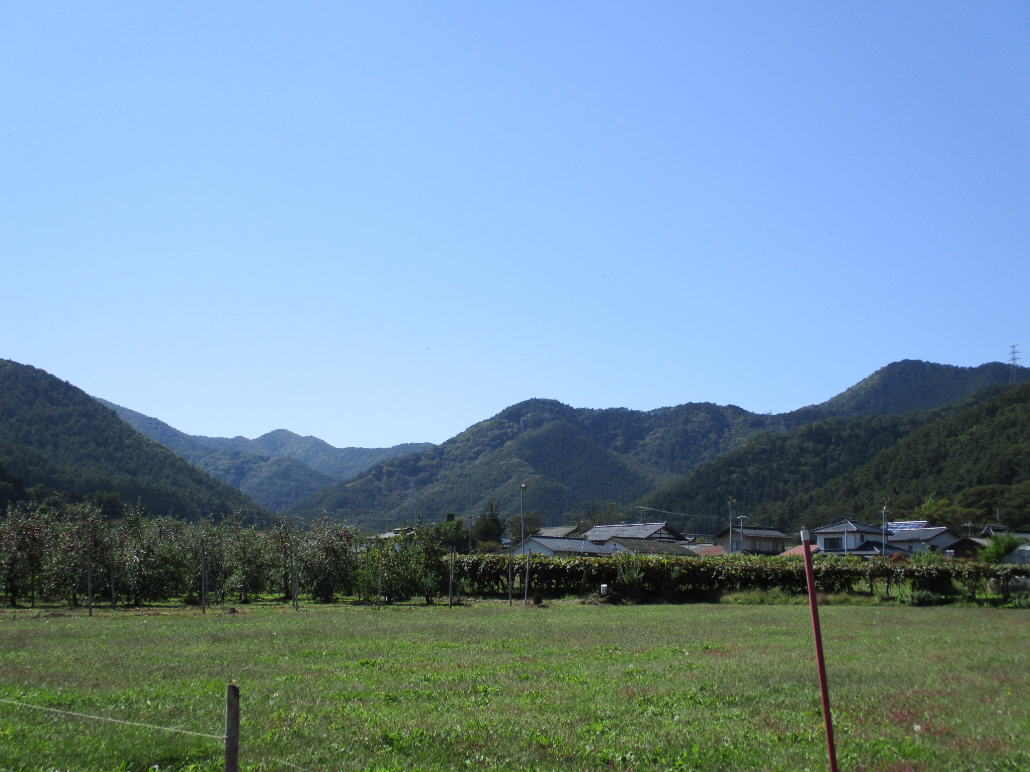
Shōdai-noroshidai was a fortified beacon. It was part of a relay system to facilitate near instantaneous communication over large distances before radio and telephones (you know, like before the Siege of Gondor in the Lord of the Rings). Shōdai-noroshidai facilitated signalling between Kiso, the valley to the south, and Fuchū in the Matsumoto Basin (the historical names of Matsumoto are Fuchū > Fukashi > Matsumoto). See Chikuma Narukami Castle for more information.
Visit Notes
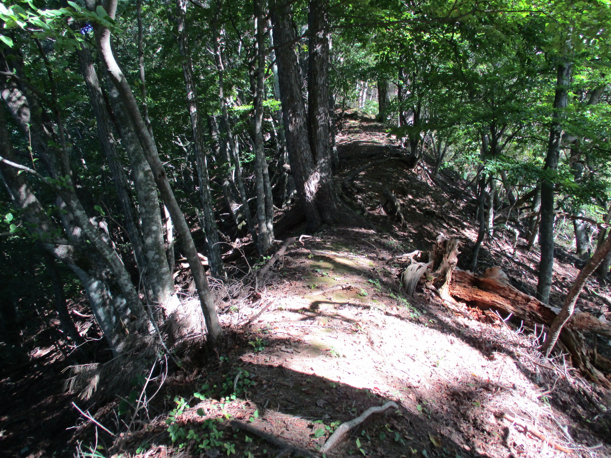
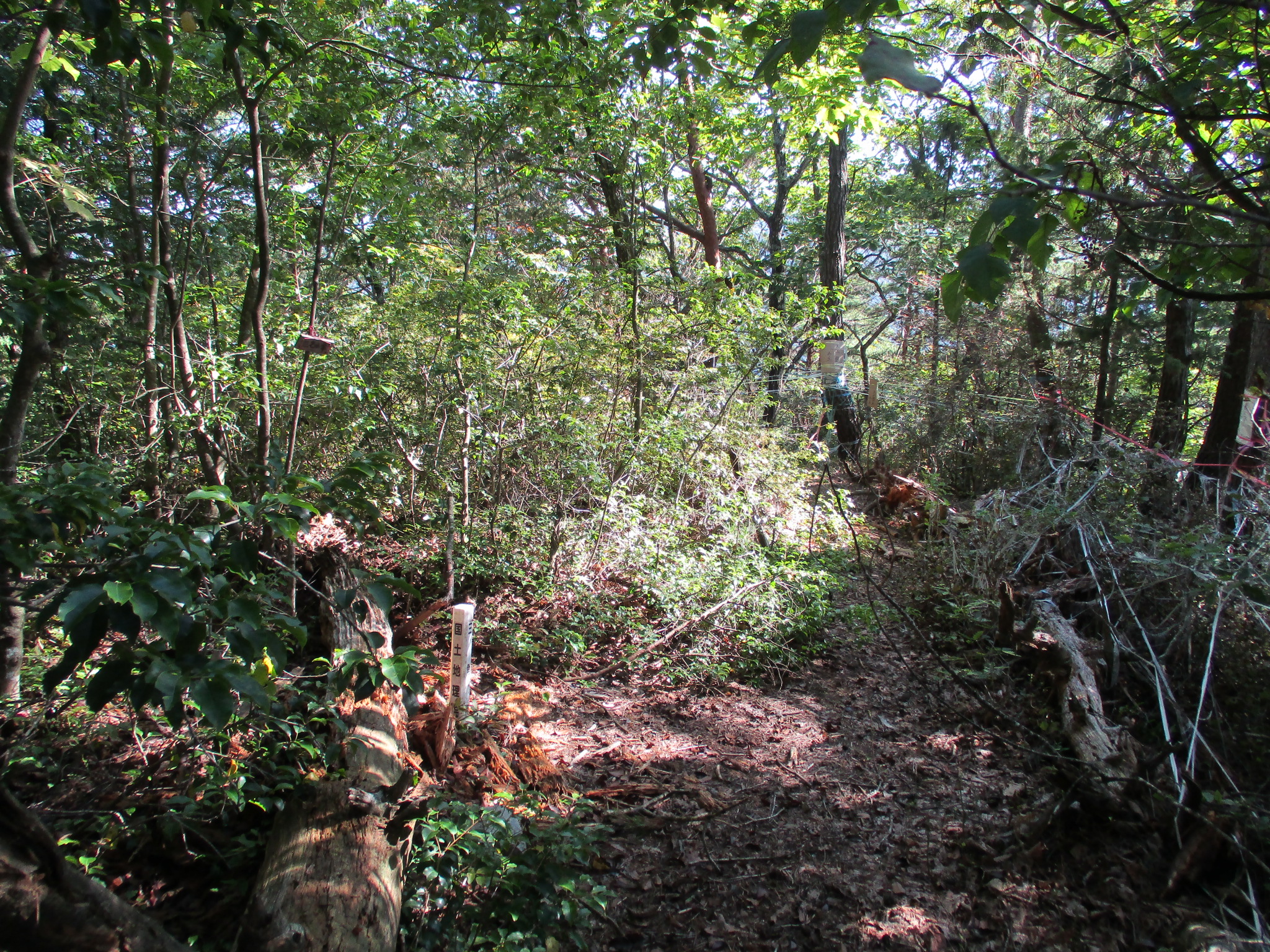
This is the site of a noroshidai (fortified signal tower), used to send smoke signals to communicate over long distances such as mountain ranges. There are two peaks along the trail. Nariyama is the lower of the two (1060m), but has a shrine and the hiking trail to it is well maintained. Nariyamajō was here. There is a taller peak (1130m) found by following more dubious trails. This peak looks impressive from below but is covered in trees and so there's not much of a view. Yet this used to be the Shōdai-noroshidai. The were lots of mushrooms and fungi around here, and I began photographing all of the different kinds I could find on the mountain.
At the noroshidai site there were no discernable ruins. There was a small sign hanging from a tree branch which read "Nameless Peak". Beneath it somebody had scrawled what looked like "小大山峰" as reproof. I didn't add my recommendation to the sign but I'd read it referred to as Shōdai, as in Shōdai-noroshidai. Maybe it has many names and people can't decide? Either way it's a very secluded part of the mountain and the trail is a dead end. Oh, we happy few that haunt these lonely peaks!


.JPG)
.JPG)
.JPG)
.JPG)
| Castle Profile | |
|---|---|
| English Name | Shoudai Noroshidai |
| Japanese Name | 松台狼煙台 |
| Founder | Ogasawara Clan |
| Year Founded | Sengoku Period |
| Castle Type | Mountaintop |
| Castle Condition | Ruins only |
| Historical Period | Pre Edo Period |
| Features | |
| Visitor Information | |
| Access | Shiojiri Station on the Chūō Main Line; 45 minute walk to trail head; 80 minute hike. |
| Visitor Information | 24/7 free; mountain |
| Time Required | 20 minutes |
| Location | Shiojiri, Nagano Prefecture |
| Coordinates | 36° 5' 9.53" N, 137° 56' 27.56" E |
|
|
|
| Admin | |
| Added to Jcastle | 2021 |
| Contributor | ART |
| Admin Year Visited | Viewer Contributed |


Enable comment auto-refresher