Tekozuka Castle

History
Tekoźukajō was built in the Sengoku Period by the Shimaźu Clan as a branch castle of Ôgurajō, helping them to maintain their territory in the Naganuma and Toriikawa areas, and protecting them against the Takanashi Clan who held territory on the opposite side of the Chikuma River, Tekoźukajō being built on a small hill overlooking the river in the west. A ferry crossing was located at this point which the castle also served to guard.
Tekoźukajō played a part in the Kawanakajima Campaign, particularly during the Third Battle of Kawanakajima when Takeda Shingen captured Katsurayamajō which allowed them to advance into northern Shinano. This forced Shimaźu Gekkasai, an ally of Uesugi Kenshin, to retreat from Naganumajō back to Ôgurajō and Tekoźukajō in 1557.
By the Edo Period Tekoźukajō was abandoned. The Suwa Shrine which stands today was first built and during a restoration of the shrine in the early 19th century a large stone was discovered underground. It turned out that the stone was the ceiling of an ancient tomb's inner burial chamber, and so the hill that the castle was built on originally contained a kofun (ancient burial mound). The Suwa Shrine still stands today amidst the earthwork ruins of the castle.
Visit Notes
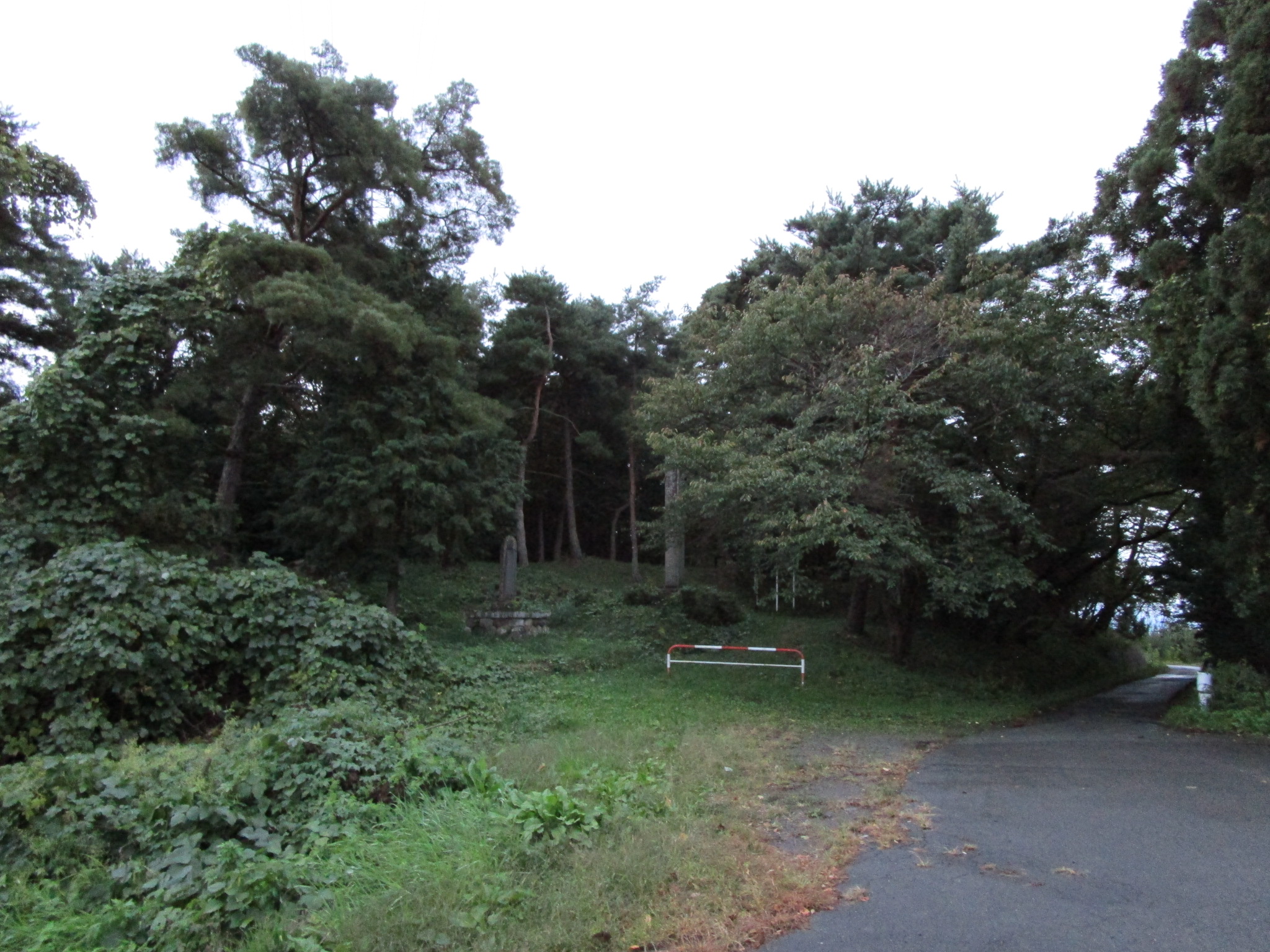
Essentially this castle ruin is now a shrine, but remains include earthworks such as trenches, embankments and baileys. Though I could make them out it was difficult to photograph these. I presume the main bailey is where the shrine is. In front of the shrine a large fox was sitting. At first I thought it might be a dog due to its size. When it spotted me it got up and silently fled. I was impressed with the encounter; do these canids cavort with the gods at dusk?
| Castle Profile | |
|---|---|
| English Name | Tekozuka Castle |
| Japanese Name | 手子塚城 |
| Founder | Shimaźu Clan |
| Year Founded | Sengoku Period |
| Castle Type | Hilltop |
| Castle Condition | Ruins only |
| Designations | Local Historic Site |
| Historical Period | Pre Edo Period |
| Artifacts | Kuruwa, Karabori, Dorui |
| Features | trenches |
| Visitor Information | |
| Access | Tategahana on the Iiyama Line; 10 minute walk |
| Visitor Information | Free; 24/7; shrine |
| Time Required | 20 minutes |
| Location | Nagano, Nagano Prefecture |
| Coordinates | 36° 43' 34.07" N, 138° 18' 22.03" E |
|
|
|
| Admin | |
| Added to Jcastle | 2020 |
| Contributor | ART |
| Admin Year Visited | Viewer Contributed |


Enable comment auto-refresher