Toride Fort
.JPG)
History
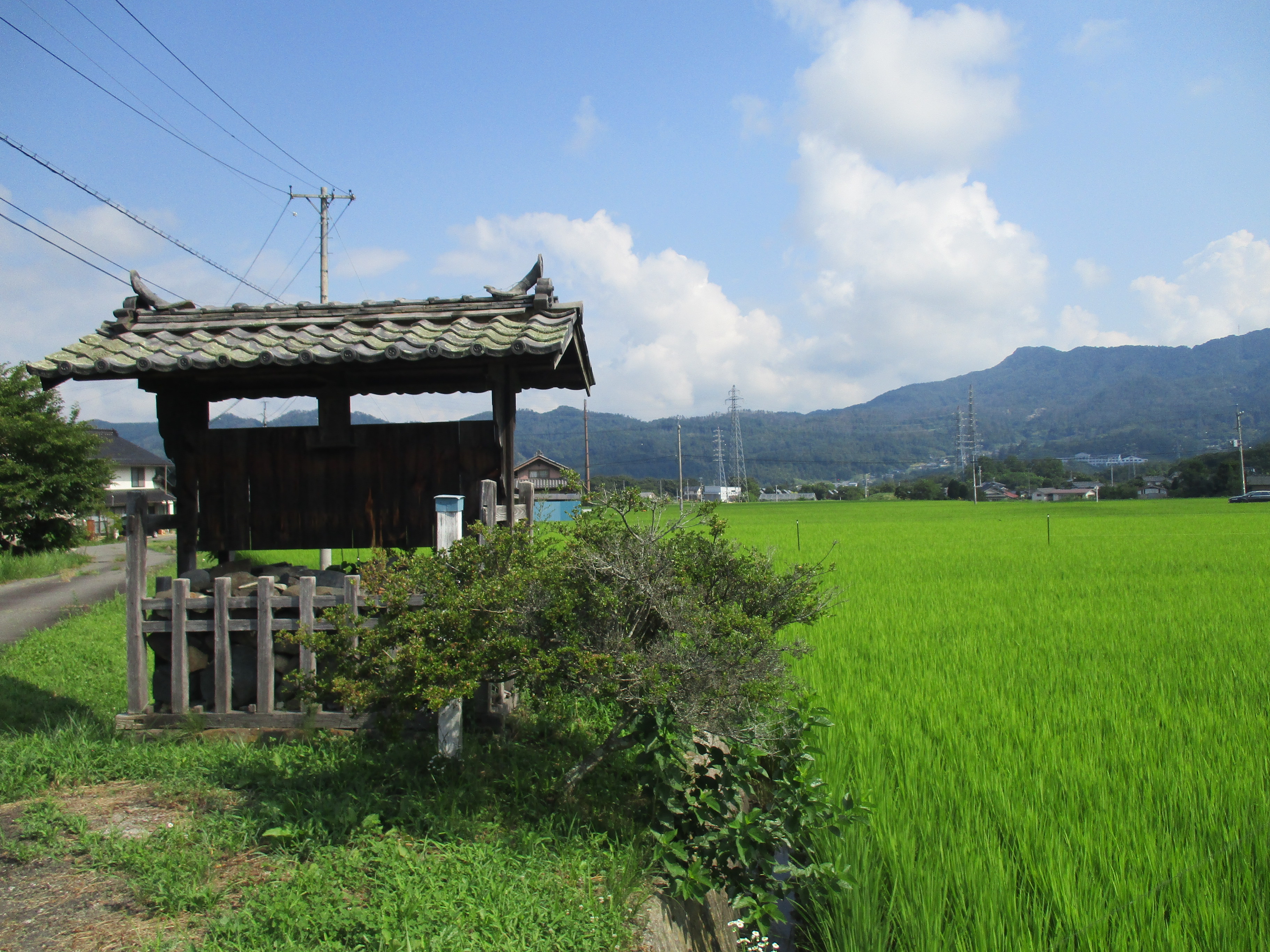
Toride-toride was ruled by the Kodama Clan who were vassals of the Aida Clan, and then later the Takeda Clan. In the Edo period the Kodama reverted to farming and became village headmen (nanushi / shōya). The present homestead seems to be the inheritor of the clan's residence from that time as there is still a kōsatsu (official bulletin board), though there are no longer any rules attached to it. The plateau is largely under plough, but Toride village is mostly located on the opposite side of the promontory to the fort site; I don't know if that was the case in times past.
Visit Notes
Toride-toride could be translated as 'Fort Fort', which I think is amazing. Castle blogger extraordinaire Yogo-sensei recommends that the fort's name be changed to something else, suggesting 'Kodamashi-toride', but he's no fun; 'Toride-toride' is an awesome name! The name of the area is Toride, now using different kanji, 「取出」, so I don't know but perhaps the area was named for the fort, its original name unknown, and then subsequently the fort was named for the area? The kanji for Toride is 「砦」, from the Chinese meaning 'fort with stockades', but it can be also rendered phonetically as 「取手」 in Japanese. Toride bus stop is located opposite the Thunder Shrine.
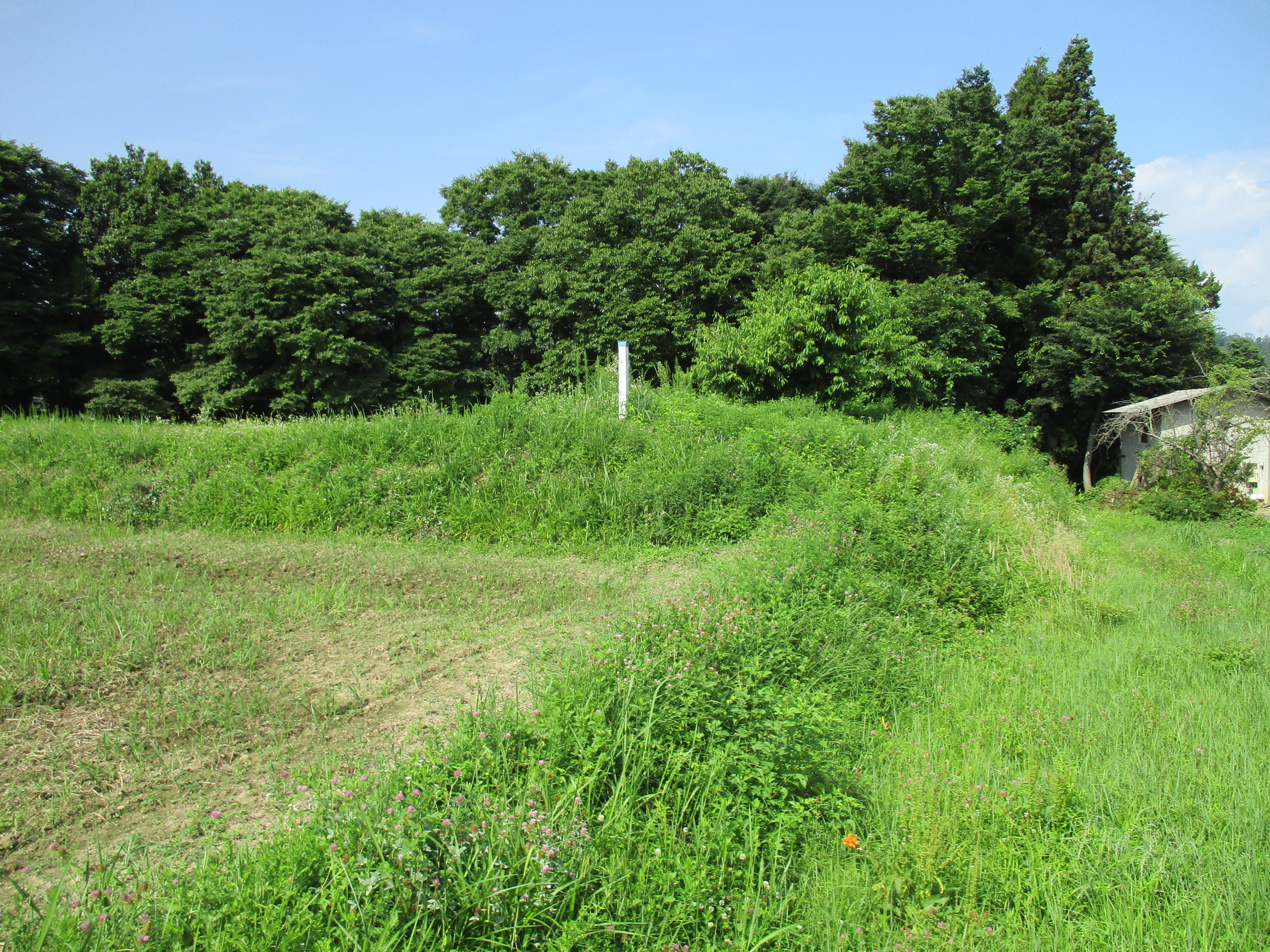
The ruins of Toride-toride in Toride (I'm still amused that each of those 'toride' take different kanji) consist of earthworks such as baileys, dry moats and earthen ramparts, but it is mostly on private property. The main section can be seen from the road. The most notable feature is a 50m long karabori (dry moat). Since Toride-toride is a clifftop fort this karabori then does down the steep hillside to form a tatebori (climbing moat). A marker for the castle is positioned atop of the dorui (earthen ramparts) which sit above this moat. The marker used to have the fort's name on presumably but it has since faded and is now illegible. It's still nice to see the piece of wood, as its brother marker at nearby Iwabuchijō is now gone; both markers were erected under Shiga Village Municipality which was annexed into the expanded Matsumoto Municipality in 2005.

.JPG)
.JPG)
.JPG)
| Castle Profile | |
|---|---|
| English Name | Toride Fort |
| Japanese Name | 取手砦 |
| Founder | Kodama Clan |
| Year Founded | Medieval Era |
| Castle Type | Hilltop |
| Castle Condition | Ruins only |
| Historical Period | Pre Edo Period |
| Artifacts | Karabori, Dorui |
| Features | trenches |
| Visitor Information | |
| Access | Nearest station is Akashina Station on the Shinonoi Line; 15 minute drive |
| Visitor Information | 24/7 free; fields |
| Time Required | 20 minutes |
| Location | Matsumoto, Nagano Prefecture |
| Coordinates | 36° 20' 21.44" N, 137° 59' 36.38" E |
|
|
|
| Admin | |
| Added to Jcastle | 2022 |
| Contributor | ART |
| Admin Year Visited | Viewer Contributed |
| Friends of JCastle | |
| Yogo | |


Enable comment auto-refresher