History
It appears that the history of this site is unknown. There are such medieval castle sites in Japan that have been identified, for the ruins are there, but for which there is no survivng record.
Visit Notes
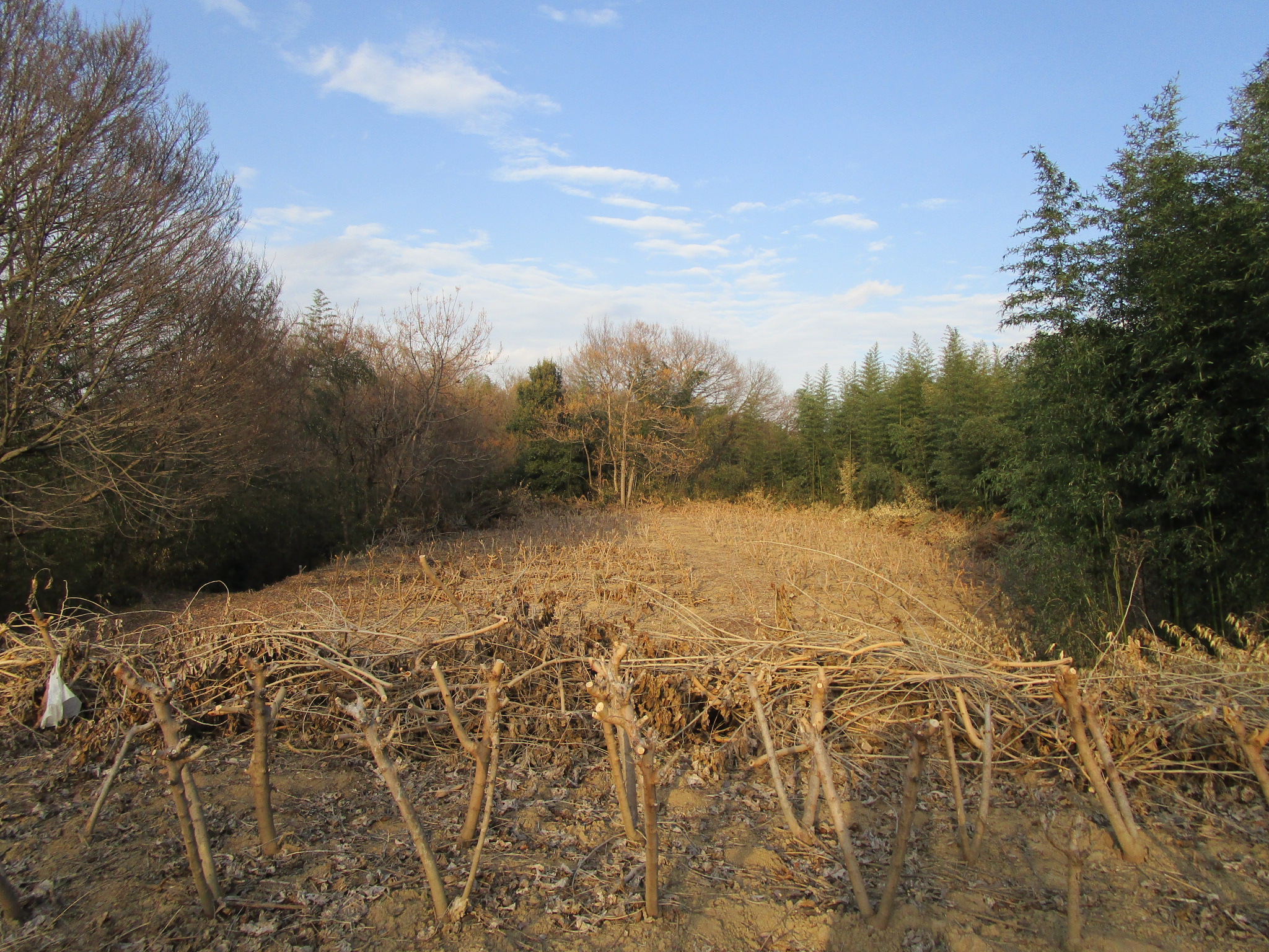
When I was in the area looking for more castle sites to visit, Warabijō site popped up on Google maps and what drew me to it was that it simply was listed as "the ruins of a castle...". This was very mysterious so I decided I'd have to check it out; I only learnt the actual name of the castle later after researching it. The castle site is used for farming in its baileys and most of the ruins are heavily overgrown, so I had some trouble getting around this site, and it involved me climbing up the steep hill using bamboo as ladders. Obikuruwa (ring baileys) go around the site's integral baileys, and in these are dense thickets of bamboo. It seems that a former colony of the fast-growing grass species has died here and so there was dead bamboo all over the place which I had to smash my way through. Karabori are evident between baileys but they were difficult to photograph because of all of the vegetation. Because I worked hard I derived some satisfaction from exploring Warabijō ("Fern Castle", but I didn't see any ferns) but it was a gruelling site to explore. After researching this site online I found that one blogger had made a similar mistake to myself, climbing up steep embankments and through bushes from the south, but there is a dirt track that goes up from the western side, and this should be used. Albeit, it's still not easy to get around the whole site.
| Castle Profile | |
|---|---|
| English Name | Warabi Castle (Kozuke) |
| Japanese Name | 上野蕨城 |
| Founder | Unknown |
| Year Founded | Unknown |
| Castle Type | Mountaintop |
| Castle Condition | Ruins only |
| Historical Period | Pre Edo Period |
| Artifacts | Kuruwa, Obiguruwa, Karabori |
| Features | trenches |
| Visitor Information | |
| Access | Joushuu Fukushima Station on the Joushin Dentetsu Line; 40 minute walk or 20 minute cycle (free rental bicycle available at the station) |
| Visitor Information | Cultivated Hill; Access Limited |
| Time Required | 40 minutes |
| Location | Kanra, Gunma Prefecture |
| Coordinates | 36° 16' 46.02" N, 138° 56' 15.00" E |
|
|
|
| Admin | |
| Added to Jcastle | 2021 |
| Contributor | ART |
| Admin Year Visited | Viewer Contributed |


Enable comment auto-refresher